Whitebridge in Nashville in Davidson County, Tennessee — The American South (East South Central)
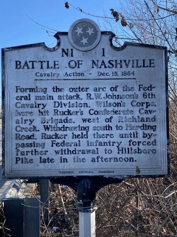
Battle of Nashville
Cavalry Action — Dec. 15, 1864
Photographed by Darren Jefferson Clay, January 22, 2022
1. Battle of Nashville Marker
Forming the outer arc of the Federal main attack, R.W. Johnson's 6th Cavalry Division, Wilson's Corps, here hit Rucker's Confederate Cavalry Brigade, west of Richland Creek. Withdrawing south to Harding Road, Rucker held there until bypassing Federal infantry forced further withdrawal to Hillsboro Pike late in the afternoon.
Erected by Tennessee Historical Commission. (Marker Number N1 1.)
Topics and series. This historical marker is listed in this topic list: War, US Civil. In addition, it is included in the Tennessee Historical Commission series list. A significant historical date for this entry is December 15, 1864.
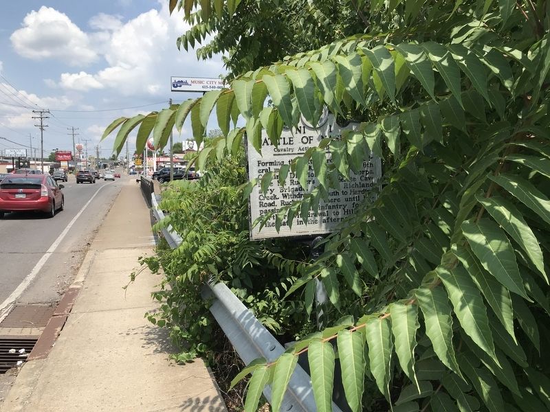
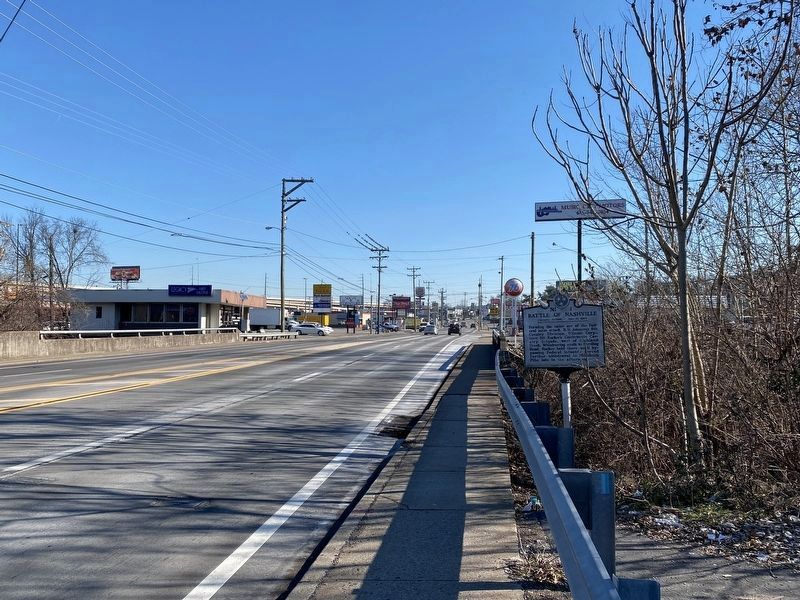
Location. 36° 9.049′ N, 86° 51.286′ W. Marker is in Nashville, Tennessee, in Davidson County. It is in Whitebridge. It is on Charlotte Avenue (U.S. 70) 0.2 miles east of White Bridge Pike (Tennessee Route 155), on the right when traveling east. Marker is on the south side of the road, immediately west of the bridge over Richland Creek. Touch for map. Marker is in this post office area: Nashville TN 37209, United States of America. Touch for directions.

Regionally, this marker is in Middle Tennessee. It is also in
this page online
Other nearby markers. At least 8 other markers are within walking distance of this marker: Robertson Avenue (within shouting distance of this marker); St. Ann Catholic Church and School (approx. 0.3 miles away); England Park (approx. 0.4 miles away); Cohen Building (approx. half a mile away); Richland Hall (approx. half a mile away); Cohn School / W.R. Rochelle (1904-1989) (approx. half a mile away); Cockrill School (approx. 0.6 miles away); Richland Park (approx. 0.6 miles away). Touch for a list and map of all markers in Nashville.
Photographed by Duane and Tracy Marsteller, June 20, 2020
2. Battle of Nashville Marker
Photographed by Darren Jefferson Clay, January 22, 2022
3. Battle of Nashville Marker
Credits. This page was last revised on February 7, 2023. It was originally submitted on June 22, 2020, by Duane and Tracy Marsteller of Murfreesboro, Tennessee. This page has been viewed 868 times since then and 57 times this year. Photos: 1. submitted on January 22, 2022, by Darren Jefferson Clay of Duluth, Georgia. 2. submitted on June 22, 2020, by Duane and Tracy Marsteller of Murfreesboro, Tennessee. 3. submitted on January 22, 2022, by Darren Jefferson Clay of Duluth, Georgia. • Bernard Fisher was the editor who published this page.
