South Middleton Township near Boiling Springs in Cumberland County, Pennsylvania — The American Northeast (Mid-Atlantic)
South Middleton Township
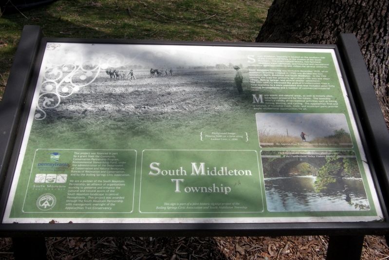
South Middleton Township is located on the southern side of the Cumberland Valley in the shadow of the South Mountain. The area’s natural beauty, rich farmland, abundant water resources, and historical and recreational assets have attracted residents and visitors for several centuries,
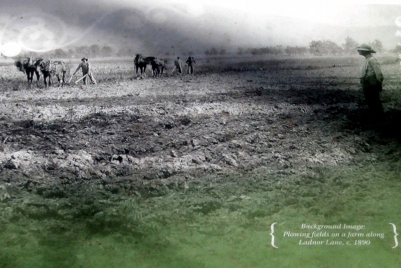
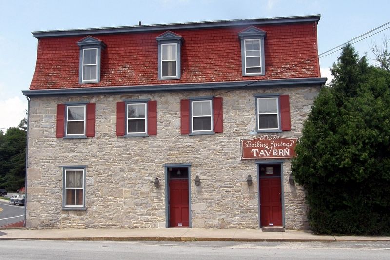
South Middleton Township was formed in November 1810, when Middleton Township (created in 1750) was divided into two townships, North Middleton and South Middleton. In the 19th century, the area was primarily agricultural with only one major village, Boiling Springs, and several smaller settlements.
The 20th century witnessed the gradual transformation from a rural township to a more populated area that included about forty housing developments and a number of commercial/industrial sites.
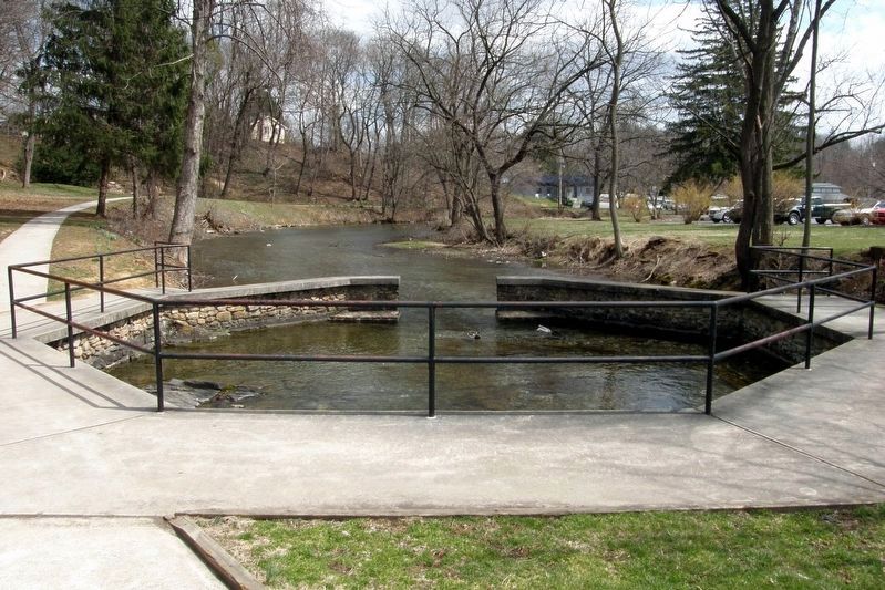
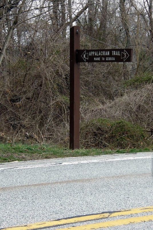
Many scenic and natural areas, as well as historic sites, have been preserved for the future. The township offers a variety of recreational activities such as hiking, fishing, boating, and cycling. The Appalachian Trail and a network of township roads, trails, and municipal parks provide ample recreational opportunities for all.
This sign is part of a joint historic signage project of the Boiling Springs Civic Association and South Middleton Township
Erected by Boiling Springs Civic Association and South Middletown Township.
Topics. This historical marker is listed in these topic lists: Colonial Era • Industry & Commerce • Parks & Recreational Areas. A significant historical month for this entry is November 1810.
Location. 40° 8.862′ N, 77° 7.489′ W. Marker is near Boiling Springs, Pennsylvania, in Cumberland County. It is in South Middleton Township. Marker is on Bucher Hill Road north of Mountain Road, on the right when traveling south. Touch for map. Marker is at or near this postal address: 100 Bucher Hill Rd, Boiling Springs PA 17007, United States of America. Touch for directions.
Other nearby markers. At least 8 other markers are within walking distance of this marker. The Benches at Boiling Springs (within shouting distance of this marker); The Iron Industry in Boiling Springs (about 300 feet away, measured in a direct line); Historical Iron Works (about 400 feet away); Daniel Kaufman (about 700 feet away); Ege Burial Plot (approx. 0.2 miles away); The Lake at Boiling Springs (approx. 0.2 miles away); The Appalachian National Scenic Trail (approx. 0.2 miles away); Carlisle Iron Works (approx. 0.2 miles away). Touch for a list and map of all markers in Boiling Springs.
Also see . . . South Middleton Township, Cumberland County, Pennsylvania. Wikipedia entry. (Submitted on June 22, 2020, by Larry Gertner of New York, New York.)
Credits. This page was last revised on February 7, 2023. It was originally submitted on June 22, 2020, by Larry Gertner of New York, New York. This page has been viewed 357 times since then and 57 times this year. Last updated on July 13, 2022, by Carl Gordon Moore Jr. of North East, Maryland. Photos: 1, 2, 3, 4, 5, 6. submitted on June 22, 2020, by Larry Gertner of New York, New York. • Bill Pfingsten was the editor who published this page.
Editor’s want-list for this marker. Wide view photo of the marker showing its location in context. • Can you help?
