Near Ashland City in Cheatham County, Tennessee — The American South (East South Central)
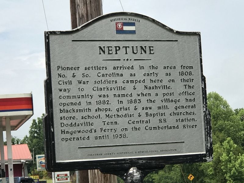
Neptune
Photographed by Duane and Tracy Marsteller, June 21, 2020
1. Neptune Marker
Erected by Cheatham County Historical & Genealogical Association.
Topics. This historical marker is listed in these topic lists: Industry & Commerce • Settlements & Settlers • War, US Civil. A significant historical year for this entry is 1808.
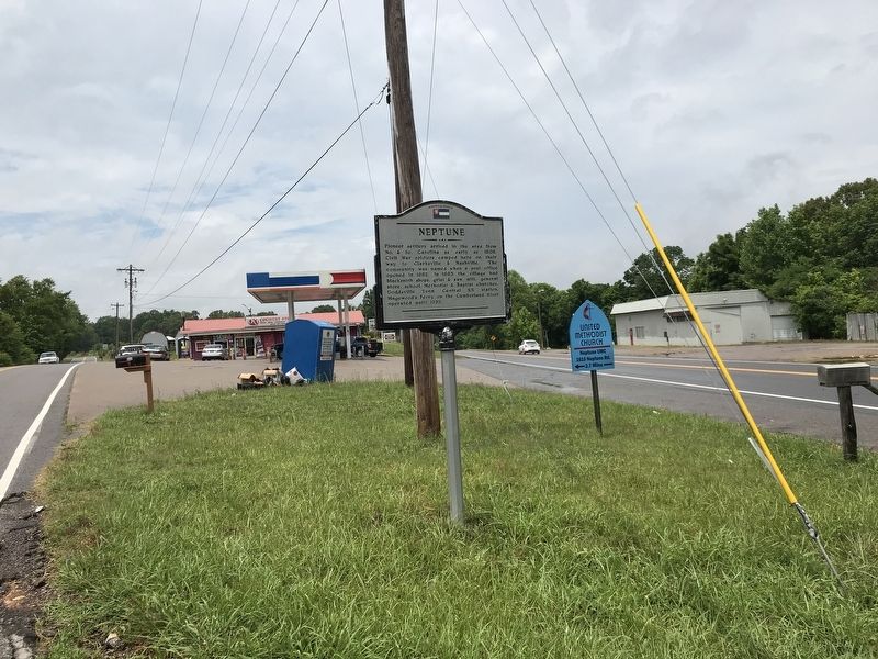
Location. 36° 20.537′ N, 87° 10.33′ W. Marker is near Ashland City, Tennessee, in Cheatham County. It is at the intersection of Tennessee Route 12 and Neptune Road, on the left when traveling north on Tennessee Route 12. Touch for map. Marker is at or near this postal address: 3201 TN-12 N, Ashland City TN 37015, United States of America. Touch for directions.

Regionally, this marker is in Middle Tennessee, in the Highland Rim, and in Greater Nashville.
this page online
Other nearby markers. At least 8 other markers are within 8 miles of this marker, measured as the crow flies: Clifton Forebears are Buried in Old Church Cemetery to Southeast (approx. 1.6 miles away); Clifton Methodist Church (approx. 1.6 miles away); Old Neptune School (approx. 2.6 miles away); Harpeth Shoals (approx. 2.9 miles away); Pat Head Summitt (approx. 5 miles away); Sycamore Mill (approx. 6.9 miles away); Thomas Jefferson Stump (approx. 7½ miles away); J.W. Johns, Jr. Park (approx. 7½ miles away). Touch for a list and map of all markers in Ashland City.
Photographed by Duane and Tracy Marsteller, June 21, 2020
2. Neptune Marker
Tennessee State Library and Archives, circa 1938
3. Neptune Marker
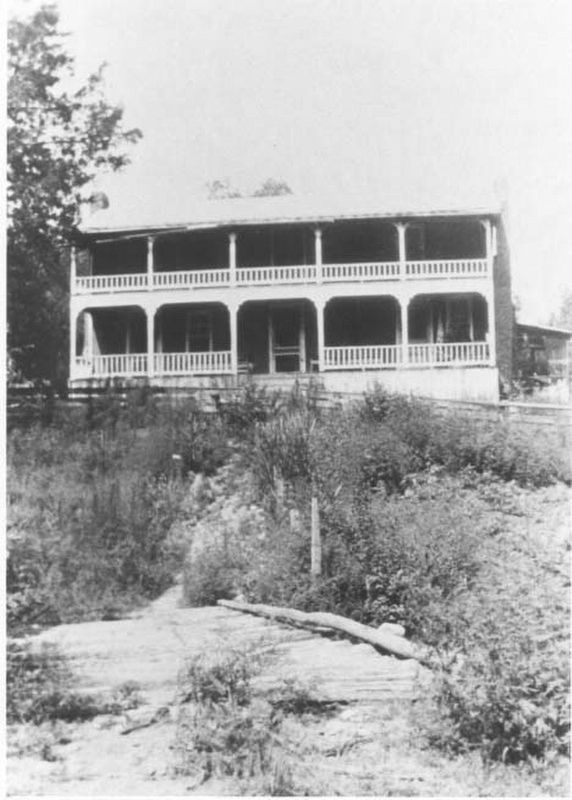
Home of James William Dye Hagewood and wife Mary Dora Hagewood in Neptune, Cheatham County, Tennessee.
Credits. This page was last revised on February 27, 2022. It was originally submitted on June 23, 2020, by Duane and Tracy Marsteller of Murfreesboro, Tennessee. This page has been viewed 1,892 times since then and 176 times this year. Photos: 1, 2, 3. submitted on June 23, 2020, by Duane and Tracy Marsteller of Murfreesboro, Tennessee. • Bernard Fisher was the editor who published this page.
