Near Ashland City in Cheatham County, Tennessee — The American South (East South Central)
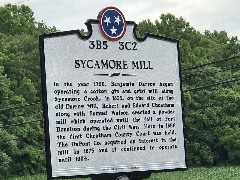
Sycamore Mill
Erected by Tennessee Historical Commission. (Marker Number 3B5 3C2.)
Topics and series. This historical marker is listed in these topic lists: Industry & Commerce • Settlements & Settlers • War, US Civil. In addition, it is included in the Tennessee Historical Commission series list. A significant historical year for this entry is 1790.
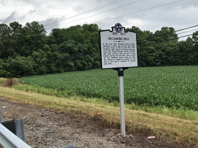
Location. 36° 19.243′ N, 87° 3.109′ W. Marker is near Ashland City, Tennessee, in Cheatham County. Marker is on Tennessee Route 49, 0.1 miles south of Girl Scout Road, on the right when traveling north. Marker is just north of Sycamore Creek. Touch for map. Marker is in this post office area: Ashland City TN 37015, United States of America. Touch for directions.
Other nearby markers. At least 8 other markers are within 8 miles of this marker, measured as the crow flies. Thomas Jefferson Stump (approx. 3.2 miles away); J.W. Johns, Jr. Park (approx. 3.2 miles away); Cheatham County Courthouse (approx. 3.2 miles away); Braxton Lee Homestead (approx. 4 miles away); Pleasant View (approx. 5.2 miles away); Harpeth Shoals (approx. 5.8 miles away); Neptune (approx. 6.9 miles away); Clifton Methodist Church (approx. 7.7 miles away). Touch for a list and map of all markers in Ashland City.
Credits. This page was last revised on June 24, 2020. It was originally submitted on June 23, 2020, by Duane and Tracy Marsteller of Murfreesboro, Tennessee. This page has been viewed 907 times since then and 111 times this year. Photos: 1, 2. submitted on June 23, 2020, by Duane and Tracy Marsteller of Murfreesboro, Tennessee. • Bernard Fisher was the editor who published this page.

