Keene in Cheshire County, New Hampshire — The American Northeast (New England)
The Railroad
Magical History Tour 2019
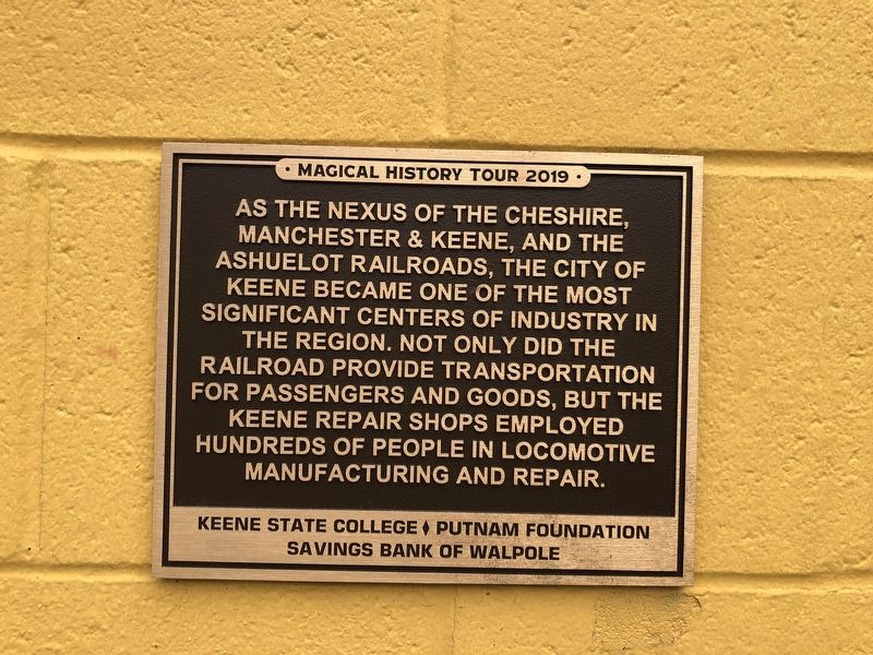
As the nexus of the Cheshire, Manchester & Keene, and the Ashuelot Railroads, the City of Keene became one of the most significant centers of industry in the region. Not only did the railroad provide transportation for passengers and goods, but the Keene Repair Shops employed hundreds of people in locomotive manufacturing and repair.
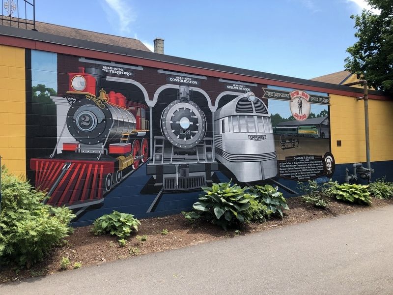
[Additional text on the mural itself:]
Boston and Maine Railroad
1848▼1936
Peterboro
1934▼1952
Consolidation
1935▼1957
Streamline 6000
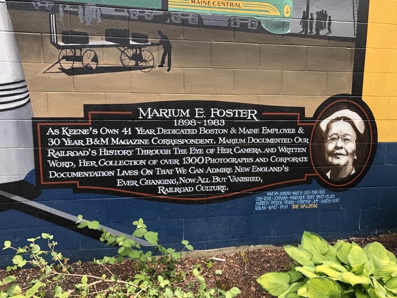
Marium E. Foster
1898~1983
Erected 2019 by Keene State College, Putnam Foundation, Savings Bank of Walpole. (Marker Number 11.)
Topics. This historical marker is listed in these topic lists: Communications • Industry & Commerce
this page online
Location. 42° 55.933′ N, 72° 16.718′ W. Marker is in Keene, New Hampshire, in Cheshire County. It is at the intersection of Cheshire Rail Trail and Main Street, on the left when traveling west on Cheshire Rail Trail. Touch for map. Marker is in this post office area: Keene NH 03431, United States of America. Touch for directions.

Regionally, this marker is in the American Northeast and in New England. Globally, it is in North America, the Western Hemisphere, the Western World, and the Anglosphere. Historically, it finds itself in what was once one of the original Thirteen Colonies.
Other nearby markers. At least 8 other markers are within walking distance of this marker: Magical History Tour (within shouting distance of this marker); Barry Faulkner, Muralist (about 300 feet away, measured in a direct line); Industrial Heritage Trail (about 300 feet away); Deacon Josiah Fisher (about 400 feet away); Keene Remembers (about 500 feet away); Civil War Memorial (about 600 feet away); Jonathan Myrick Daniels (about 600 feet away); The United Church of Christ in Keene
Photographed by Devry Becker Jones (CC0), June 20, 2020
3. Closeup of the text about Marium E. Foster
Credits. This page was last revised on June 25, 2020. It was originally submitted on June 25, 2020, by Devry Becker Jones of Washington, District of Columbia. This page has been viewed 547 times since then and 50 times this year. Photos: 1, 2, 3. submitted on June 25, 2020, by Devry Becker Jones of Washington, District of Columbia.
