Cedarburg in Ozaukee County, Wisconsin — The American Midwest (Great Lakes)
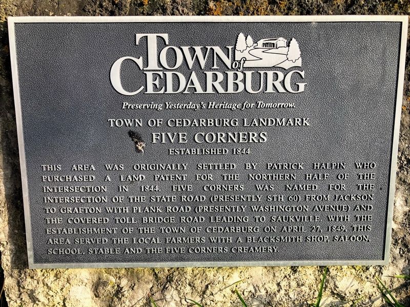
Five Corners
Established 1844
| — | Town of Cedarburg Landmark | — |
Photographed by Devon Polzar, 2020
1. Five Corners Marker
Erected by Town of Cedarburg.
Topics. This historical marker is listed in these topic lists: Roads & Vehicles • Settlements & Settlers. A significant historical date for this entry is April 27, 1849.
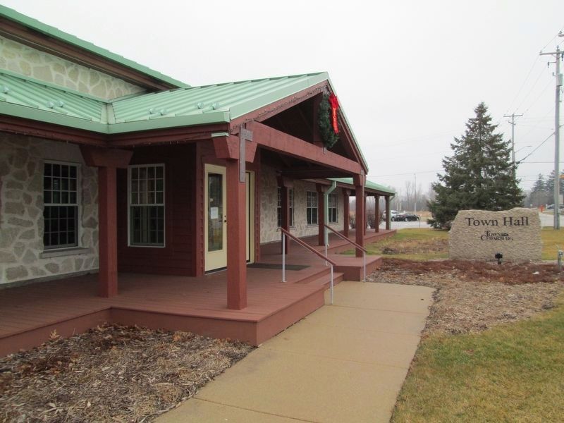
Location. Marker has been reported missing. It was located near 43° 19.315′ N, 88° 0.358′ W. Marker was in Cedarburg, Wisconsin, in Ozaukee County. It was on Washington Avenue (Wisconsin Route 181) south of Route 60, on the right when traveling south. Touch for map. Marker was at or near this postal address: 1293 Washington Ave, Cedarburg WI 53012, United States of America. Touch for directions.

Regionally, this marker
this page online
Other nearby markers. At least 8 other markers are within 2 miles of this location, measured as the crow flies: Last Covered Bridge (approx. 1.1 miles away); Kaehlers Mill (approx. 1.6 miles away); Cedarburg Woolen Mill (approx. 1.7 miles away); Historic Cedarburg (approx. 1.8 miles away); Liberty Tree Memorial (approx. 1.8 miles away); Interurban Bridge / Riding the Interurban (approx. 1.8 miles away); The First 100 Years (approx. 2 miles away); Origin of Cedar Creek / Mills on the Creek (approx. 2 miles away). Touch for a list and map of all markers in Cedarburg.
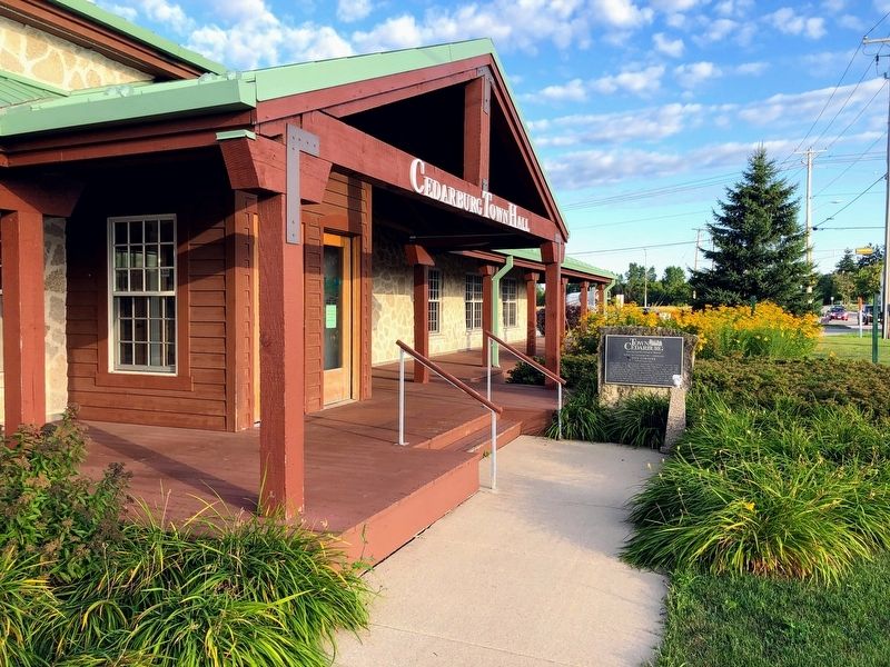
More about this marker. The marker is near the front entrance to the Cedarburg Town Hall and is steps away from the "Five Corners" intersection.
Photographed by Devon Polzar, 2020
2. Five Corners Marker
Photographed by Devon Polzar, 2020
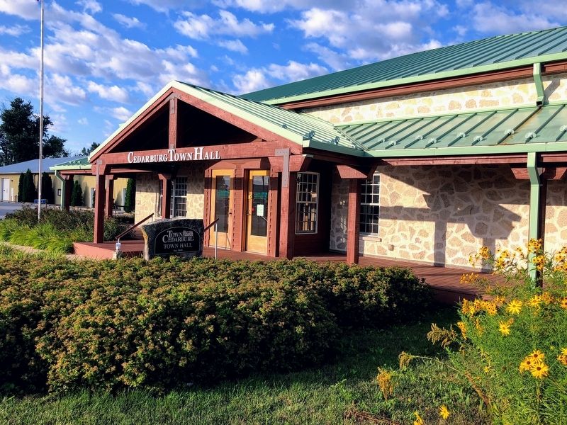
3. Opposite Side of Marker
Town of Cedarburg
Town Hall
Est. 1849
Town Hall
Est. 1849
Photographed by Jim Schaettle, December 23, 2023
4. Five Corners Marker Missing
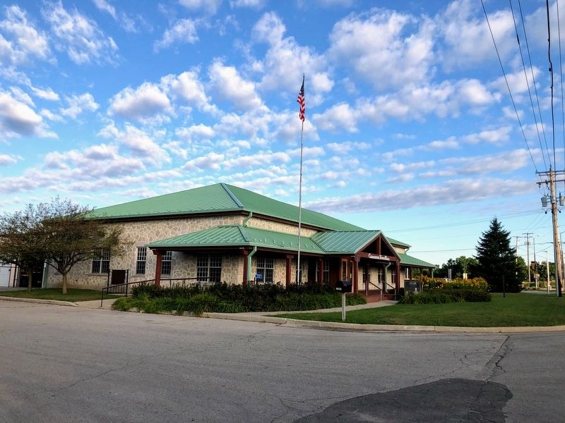
Photographed by Devon Polzar, 2020
5. Cedarburg Town Hall
Credits. This page was last revised on December 8, 2024. It was originally submitted on June 28, 2020, by Devon Polzar of Port Washington, Wisconsin. This page has been viewed 772 times since then and 61 times this year. Photos: 1, 2, 3. submitted on June 28, 2020, by Devon Polzar of Port Washington, Wisconsin. 4. submitted on December 23, 2023, by Jim Schaettle of Madison, Wisconsin. 5. submitted on June 28, 2020, by Devon Polzar of Port Washington, Wisconsin. • Mark Hilton was the editor who published this page.
