Connersville in Fayette County, Indiana — The American Midwest (Great Lakes)
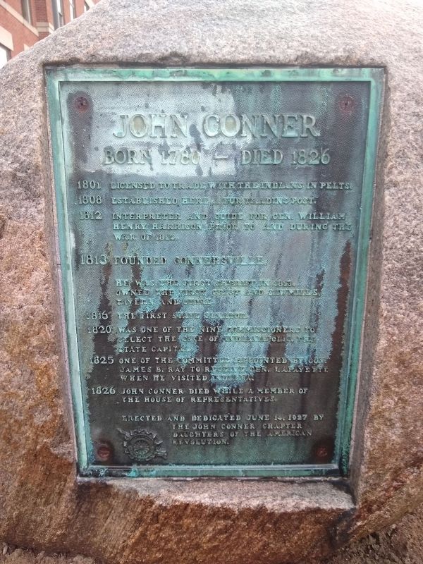
John Conner
Born 1780 - Died 1826
Photographed by Tom Bosse, June 21, 2020
1. John Conner Marker
1801 Licensed to trade with the Indians in pelts.
1808 Established here a fur trading post.
1812 Interpreter and guide for Gen. William Henry Harrison prior to and during The War of 1812.
1813 Founded Connersville
He was the first sheriff in 1813. Owned the first grist and saw mills, tavern and store.
1816 The first state senator.
1820 Was one of the nine commissioners to select the site of Indianapolis, the state capital.
1825 One of the committee appointed by Gov. James B. Ray to receive Gen. Lafayette when he visited Indiana.
1826 John Conner died while a member of the House of Representatives.
Erected 1927 by John Conner Chapter Daughters of the American Revolution.
Topics and series. This historical marker is listed in these topic lists: Communications • Government & Politics • Indigenous Peoples and Communities • Industry & Commerce • Patriots & Patriotism • Settlements & Settlers • War of 1812. In addition, it is included in the Daughters of the American Revolution (DAR), and the Former U.S. Presidents: #09 William Henry Harrison series lists. A significant historical date for this entry is June 14, 1927.
Location. 39° 38.451′ N,
this page online

Regionally, this marker is in Central Indiana. It is also in the American Midwest and in the Corn Belt. Globally, it is in North America, the Western Hemisphere, the Western World, and the Anglosphere. Historically, it finds itself in what was once the territory of the Mississippian Culture and also the Northwest Territory.
Other nearby markers. At least 8 other markers are within walking distance of this marker: Oldest Business Building (within shouting distance of this marker); Connersville, Indiana (within shouting distance of this marker); Connersville History Mural (within shouting distance of this marker); a different marker also named John Conner (about 300 feet away, measured in a direct line); Fayette County, Indiana (about 400 feet away); Whitewater Valley Arts Association Inc. (about 400 feet away);
Photographed by Tom Bosse, June 21, 2020
2. John Conner Marker
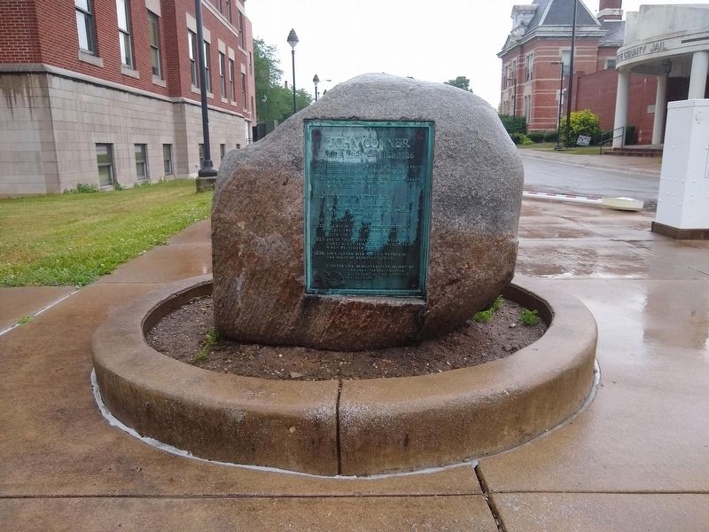
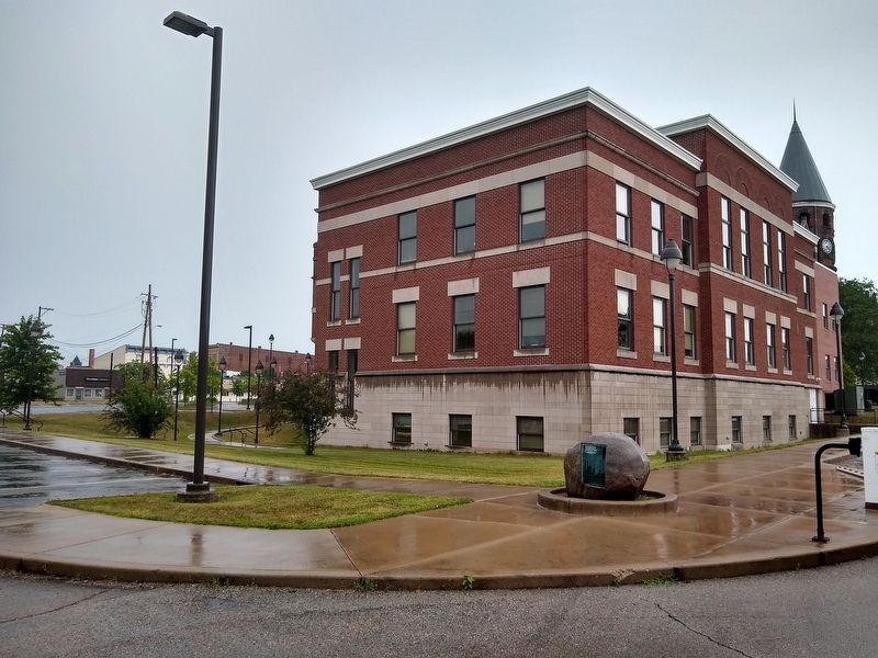
More about this marker. This monument was previously located near 39° 38.453′ N, 85° 8.467′ W, at the intersection of West 4th Street and Market Street, on the left when traveling east on West 4th Street.
Additional commentary.
1. Marker has been relocated
The marker, which is mounted in a boulder, is now located at 135 E. 5th Street in Connersville, IN
The John Conner Chapter NSDAR worked with the city this year (2026) to relocate the marker closer to the original site placement in 1927. (The marker was moved near the county courthouse on 4th street in the early 1980's due to construction at the first site placement. The second move to 5th street was made so the marker was closer to the 1927 site.) An updated picture can be added if needed. The chapter is working to clean or replace the plaque due to the corrosion of the bronze. Note To Editor only visible by Contributor and editor
— Submitted September 26, 2026, by Jeanie Hornung of New Palestine, Indiana.
Photographed by Tom Bosse, June 21, 2020
3. John Conner Marker
Credits. This page was last revised on October 20, 2026. It was originally submitted on June 28, 2020, by Tom Bosse of Jefferson City, Tennessee. This page has been viewed 811 times since then and 64 times this year. Photos: 1, 2, 3. submitted on June 28, 2020, by Tom Bosse of Jefferson City, Tennessee. • Devry Becker Jones was the editor who published this page.
