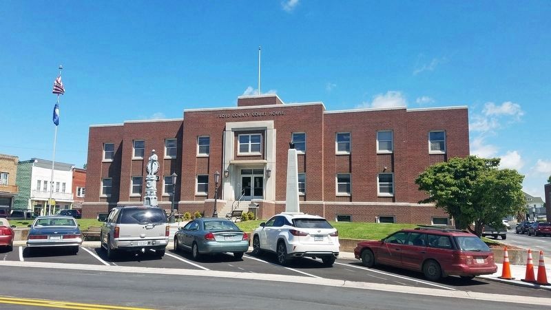
Floyd in Floyd County, Virginia — The American South (Mid-Atlantic)
Floyd County War Memorial
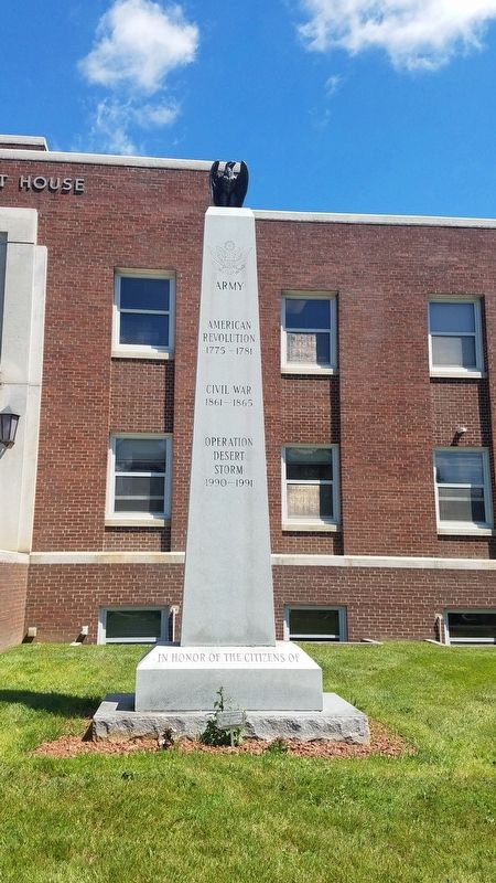
American Revolution, 1775 - 1781
Civil War, 1861 - 1865
Operation Desert Storm, 1990 - 1991
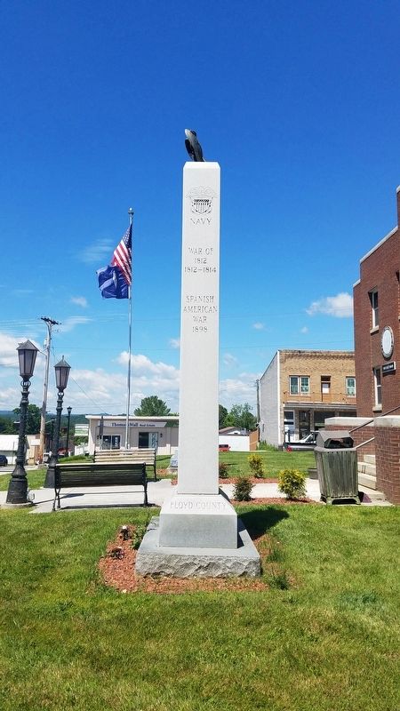
Navy
War of 1812, 1812 - 1814
Spanish-American War, 1898
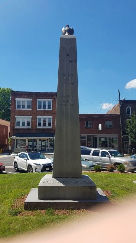
Air Force
World War I, 1917 - 1918
World War II, 1941 - 1945
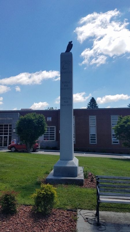
Marines
Korean War, 1950 - 1953
Vietnam War, 1964 - 1973
In Honor of the Citizens of Floyd County who Courageously Participated in These Wars.
Erected by Floyd County, Virginia.
Topics. This memorial is listed in these topic lists: War of 1812 • War, 1st Iraq & Desert Storm • War, Korean • War, Spanish-American • War, US Civil • War, US Revolutionary • War, Vietnam • War, World I • War, World II.
Location. 36° 54.687′ N, 80° 19.191′ W. Marker is in Floyd, Virginia, in Floyd County. Memorial is at the intersection of East Main Street (U.S. 221) and North Locust Street (Virginia Route 8), on the left when traveling east on East Main Street. Touch for map. Marker is in this post office area: Floyd VA 24091, United States of America. Touch for directions.
Other nearby markers. At least 8 other markers are within 7 miles of this marker, measured as the crow flies. Floyd County Civil War Memorial (a few steps from this marker); Floyd (within shouting distance of this marker); Jacksonville Presbyterian Church (about 500 feet away, measured in a direct line); Nannie Harmon Howard House (about 500 feet away); Former Site of an African-American School (approx. ¼ mile away); Albert Tappe Howard’s Milk House (approx. 0.4 miles away); Rakes Mill Pond (approx. 3.7 miles away); Buffalo Mountain (approx. 6.2 miles away). Touch for a list and map of all markers in Floyd.
Credits. This page was last revised on June 28, 2020. It was originally submitted on June 28, 2020, by Kevin W. of Stafford, Virginia. This page has been viewed 148 times since then and 13 times this year. Photos: 1, 2, 3, 4. submitted on June 28, 2020, by Kevin W. of Stafford, Virginia. 5. submitted on June 25, 2020, by Kevin W. of Stafford, Virginia.
