Near Gorman in Los Angeles County, California — The American West (Pacific Coastal)
Liebre Summit
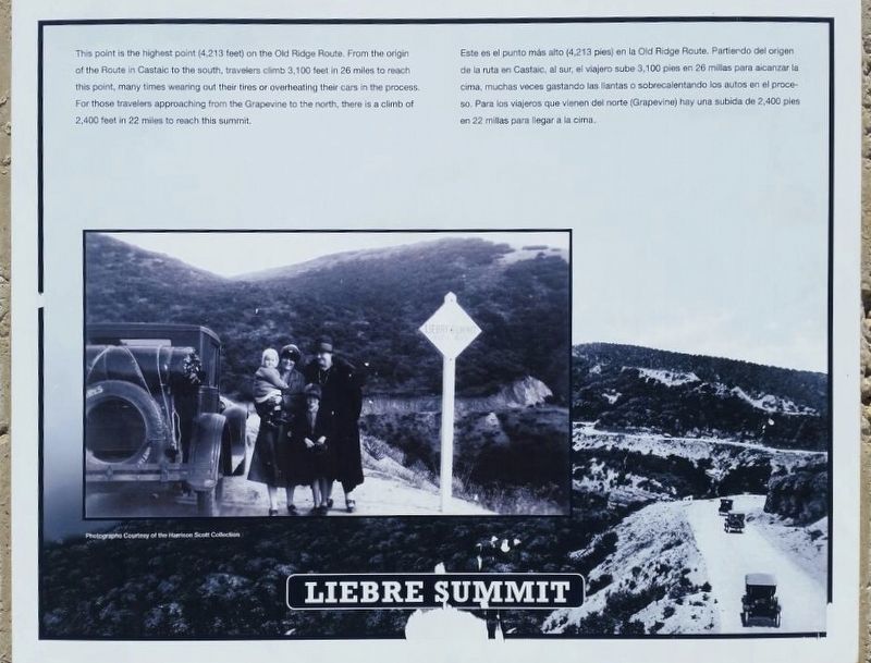
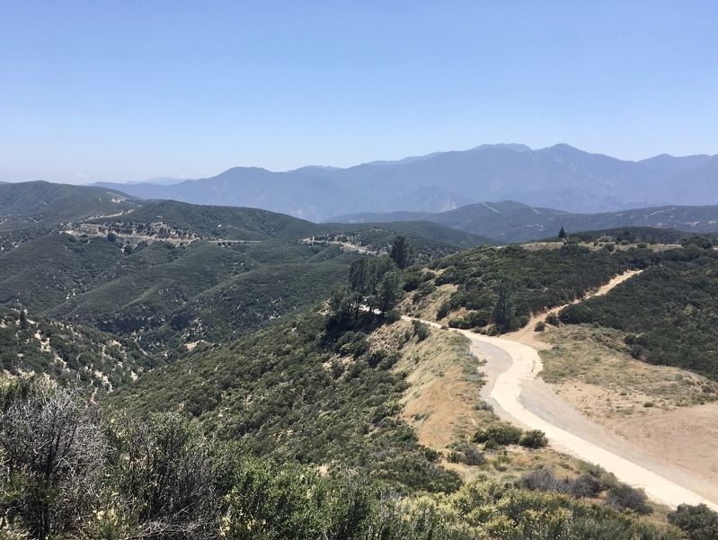
This point is the highest point (4,213 feet) on the Old Ridge Route. From the origin of the Route in Castaic to the south, travelers climb 3,100 feet in 26 miles to reach this point, many times wearing out their tires or overheating their cars in the process. For those travelers approaching from the Grapevine to the north, there is a climb of 2,400 feet in 22 miles to reach this summit.
Photographs Courtesy of the Harrison Scott Collection.
Erected 1997 by California 4×4 Club; Boy Scout Troop 583 (Castaic); and Ridge Route Preservation Organization.
Topics. This historical marker is listed in these topic lists: Industry & Commerce • Roads & Vehicles. A significant historical year for this entry is 1915.
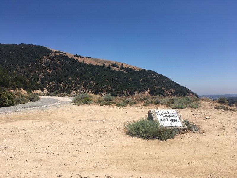
Location. 34° 43.9′ N, 118° 42.87′ W. Marker has been reported unreadable. Marker is near Gorman, California, in Los Angeles County. Marker is on Ridge Route Road, 3.7 miles south of Highway 138, on the right when traveling south. Touch for map. Marker is in this post office area: Lebec CA 93243, United States of America. Touch for directions.
Other nearby markers. At least 11 other markers are within 10 miles of this location, measured as the crow flies. Sandberg’s Summit Hotel (approx. 0.7 miles away); The Old Ridge Route (approx. 0.9 miles away); Liebre State Highway Camp (approx. 1.2 miles away); Tumble Inn (approx. 1.7 miles away); Kelly’s Halfway Inn (approx. 3½ miles away); Reservoir Summit (approx. 4.8 miles away); The “Ridge Route” (approx. 5.4 miles away); Castaic Powerplant (approx. 5½ miles away); Swede’s Cut (approx. 6.3 miles away); National Forest Inn (approx. 8 miles away); Ridge Route Directory (approx. 9.3 miles away). Touch for a list and map of all markers in Gorman.
More about this marker. This is one of nine historical markers placed in 1997 along the Ridge Route, and one of four on the section of road currently open to motor vehicles. There is a locked gate three miles south at Tumble Inn. Efforts to re-open the entire road are ongoing, as are efforts to install new markers.
This road was added to the National Register of Historic Places in 1997.
Related marker.
Click here for another marker that is related to this marker. — Ridge Route Directory
Also see . . . Ridge Route Preservation Organization. (Submitted on June 17, 2020.)
Credits. This page was last revised on January 30, 2023. It was originally submitted on June 17, 2020. This page has been viewed 279 times since then and 29 times this year. Last updated on June 29, 2020. Photos: 1, 2, 3. submitted on June 17, 2020, by Craig Baker of Sylmar, California. • J. Makali Bruton was the editor who published this page.


