
Angeles National Forest in Los Angeles County, California — The American West (Pacific Coastal)
Sandberg’s Summit Hotel
Photographed by Craig Baker, 2015
1. Sandberg’s Summit Hotel Marker

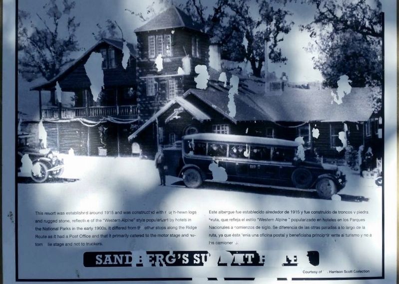
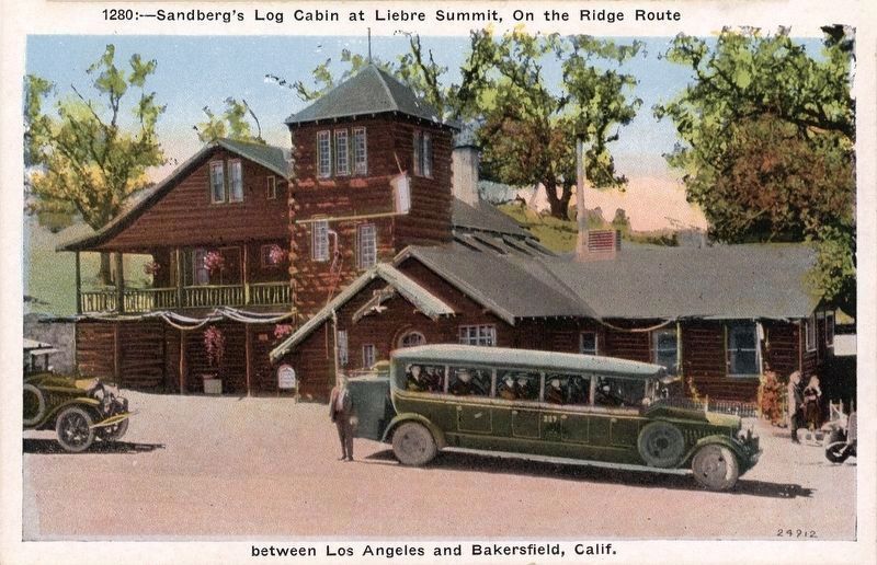
This resort was established around 1915 and was constructed with rough-hewn logs and rugged stone, reflective of the “Western Alpine” style popularized by the National Parks in the early 1900s. It differed from the other stops along the Ridge Route as it had a Post Office and that it primarily catered to the motor stage and automobile stage and not to truckers.
Erected 1997 by California 4×4 Club; Boy Scout Troop 583 (Castaic); and Ridge Route Preservation Organization.
Topics. This historical marker is listed in these topic lists: Architecture • Industry & Commerce • Roads & Vehicles. A significant historical year for this entry is 1915.
Location. 34° 44.46′ N, 118° 42.592′ W. Marker
this page online

Regionally, this marker is in Greater Los Angeles and in the Transverse Ranges. It is also on the American Pacific Coast. Globally, it is in North America, on the Ring of Fire, in the Pacific Rim, in the Western Hemisphere, in the Western World, and in the Anglosphere. Historically, it finds itself in what was once New Spain and also Mexico’s Alta California.
Other nearby markers. At least 11 other markers are within 9 miles of this location, measured as the crow flies: The Old Ridge Route (approx. 0.3 miles away); Liebre Summit (approx. 0.7 miles away); Liebre State Highway Camp (approx. 1.8 miles away); Tumble Inn (approx. 2.4 miles away); Kelly’s Halfway Inn (approx. 4.1 miles away); Reservoir Summit (approx. 5½ miles away); The “Ridge Route” (approx. 6.1 miles away); Castaic Powerplant (approx. 6.2 miles away);
Photographed by Craig Baker, June 9, 2020
2. Sandberg’s Summit Hotel Marker
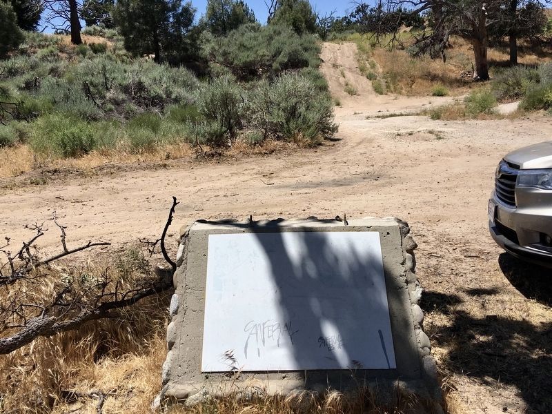
The marker is faded and unreadable.
More about this marker. This is the northern-most of nine historical markers placed in 1997 along the Ridge Route, and one of four on the section of road currently open to motor vehicles. There is a locked gate four miles south at the historic Tumble Inn site. Efforts to re-open the entire road are ongoing, as are efforts to install new markers.
Related marker. Click here for another marker that is related to this marker. — Ridge Route Directory
Also see . . . Ridge Route Preservation Organization. (Submitted on June 11, 2020.)
Photographed by Craig Baker, June 9, 2020
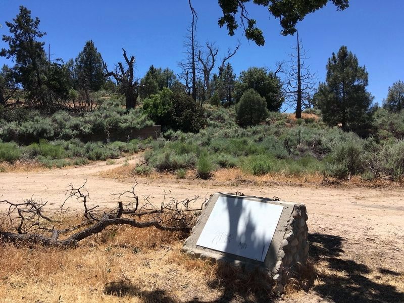
3. Hotel Site
circa 1920
4. Sandberg’s postcard
This photo is featured on the marker.
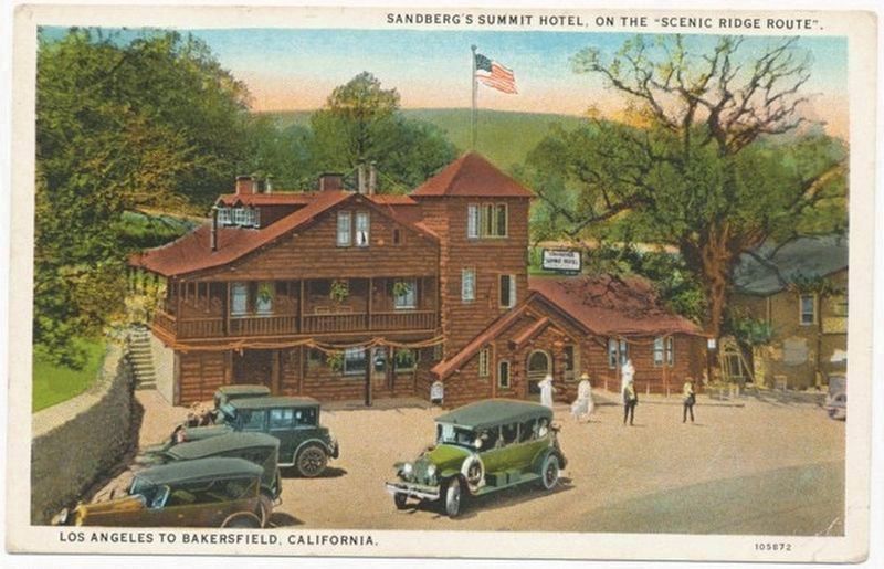
circa 1920
5. Sandberg’s Summit Hotel postcard
Credits. This page was last revised on January 17, 2026. It was originally submitted on June 11, 2020. This page has been viewed 1,094 times since then and 213 times this year. Last updated on June 29, 2020. Photos: 1, 2, 3, 4, 5. submitted on June 11, 2020, by Craig Baker of Sylmar, California. • J. Makali Bruton was the editor who published this page.
