
Angeles National Forest in Los Angeles County, California — The American West (Pacific Coastal)
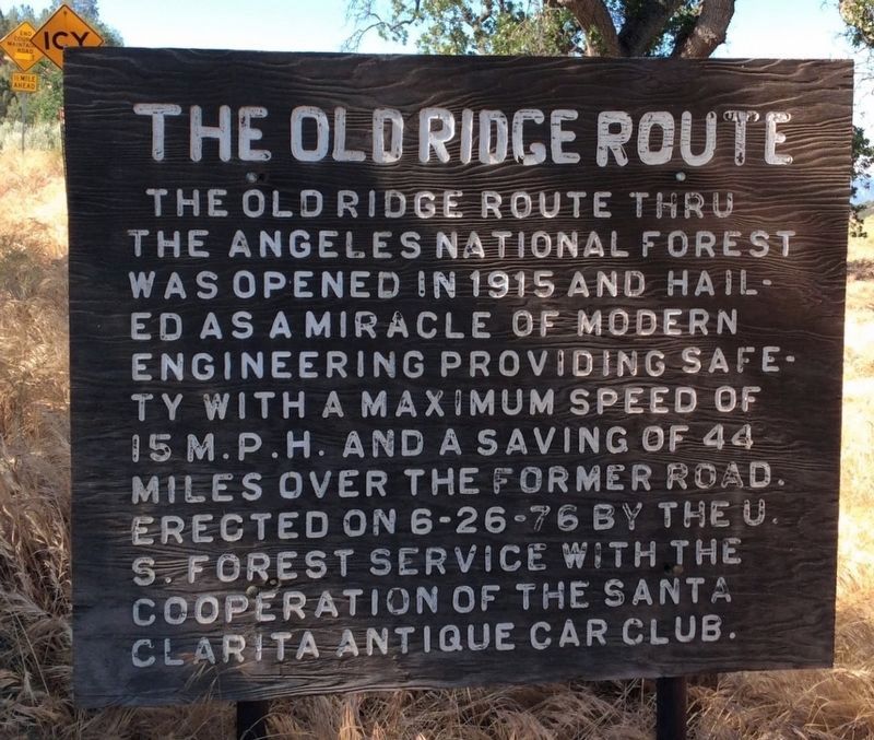
The Old Ridge Route
2017
1. The Old Ridge Route Marker
Erected 1976 by U.S. Forest Service, and Santa Clarita Antique Car Club.
Topics. This historical marker is listed in this topic list: Roads & Vehicles.
Location. 34° 44.666′ N, 118° 42.775′ W. Marker is in Angeles National Forest, California, in Los Angeles County. It is at the intersection of Ridge Route Road and Pine Canyon Road, on the right when traveling south on Ridge Route Road. Touch for map. Marker is in this post office area: Lebec CA 93243, United States of America. Touch for directions.

Regionally, this marker is in Greater Los Angeles and in the Transverse Ranges. It is also on the American Pacific Coast. Globally, it is in North America, on the Ring of Fire, in the Pacific Rim, in the Western Hemisphere, in the Western World, and in the Anglosphere. Historically, it finds itself in what was once New Spain and also Mexico’s Alta
this page online
Other nearby markers. At least 11 other markers are within 9 miles of this marker, measured as the crow flies: Sandberg’s Summit Hotel (approx. 0.3 miles away); Liebre Summit (approx. 0.9 miles away); Liebre State Highway Camp (approx. 2.1 miles away); Tumble Inn (approx. 2½ miles away); Kelly’s Halfway Inn (approx. 4.3 miles away); Reservoir Summit (approx. 5.7 miles away); The “Ridge Route” (approx. 6.2 miles away); Castaic Powerplant (approx. 6.3 miles away); Swede’s Cut (approx. 7.1 miles away); Slide Mountain Lookout (approx. 8½ miles away); National Forest Inn (approx. 8.8 miles away). Touch for a list and map of all markers in Angeles National Forest.
Regarding The Old Ridge Route. There is a locked gate 4 miles south at the historic Tumble Inn site. Efforts to reopen the road are ongoing. The Ridge Route was replaced by US 99 in 1934, which was replaced by Interstate 5 in 1968. This road was added to the National Register of Historic Places in 1997.
Related markers. Click here for a list of markers that are related to this marker.
Also see . . . Ridge Route Preservation Organization. Working
2017
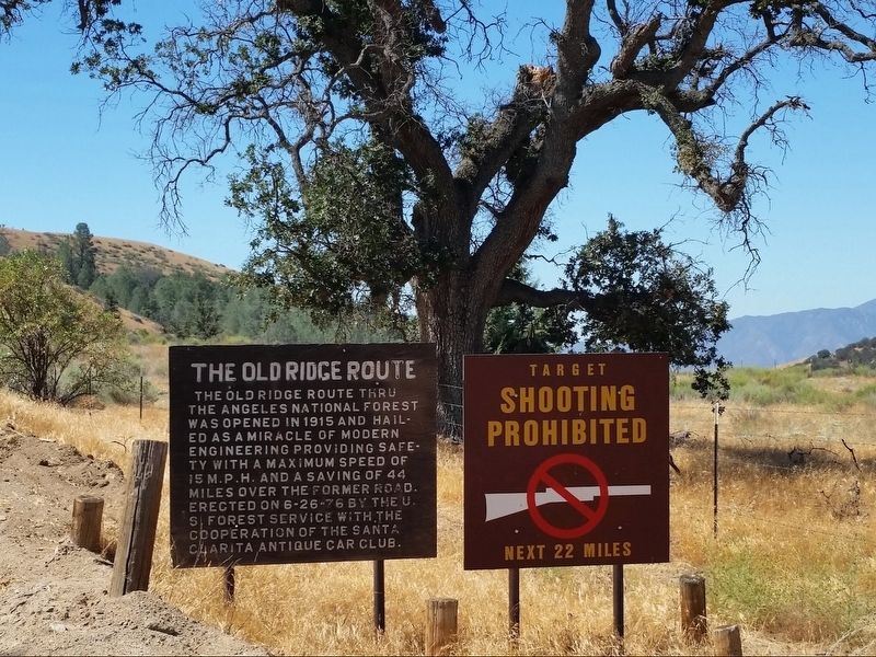
2. The Old Ridge Route Marker
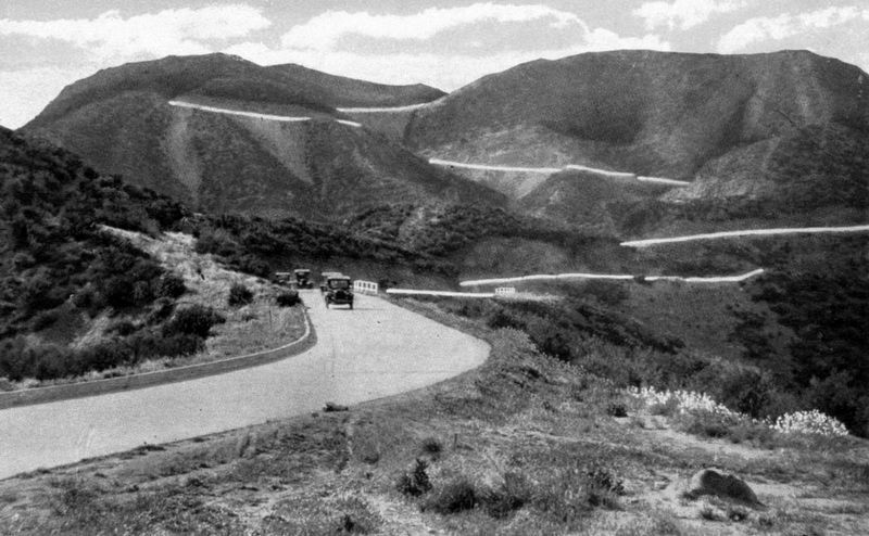
3. Old Ridge Route Postcard
Credits. This page was last revised on January 17, 2026. It was originally submitted on June 26, 2018, by Craig Baker of Sylmar, California. This page has been viewed 922 times since then and 60 times this year. Last updated on June 29, 2020, by Craig Baker of Sylmar, California. Photos: 1, 2, 3. submitted on June 26, 2018, by Craig Baker of Sylmar, California. • J. Makali Bruton was the editor who published this page.
