Davis Creek in Modoc County, California — The American West (Pacific Coastal)
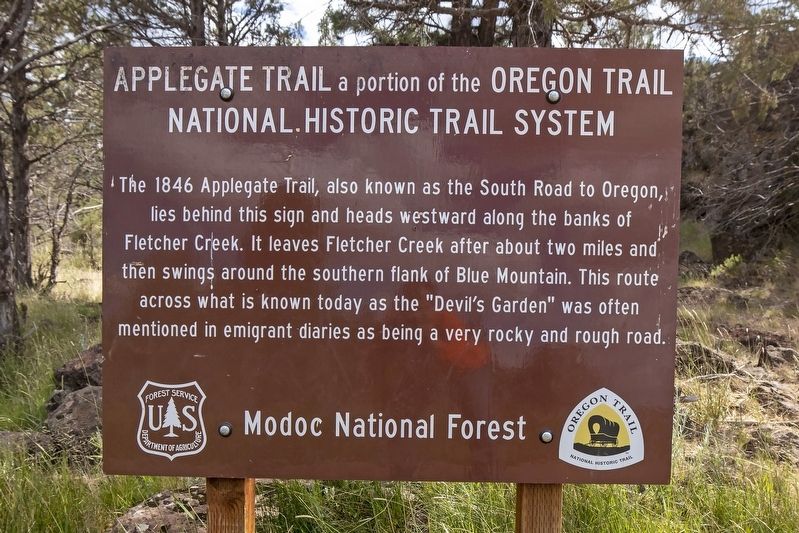
Applegate Trail
A portion of the Oregon Trail National Historic Trail System
Erected by Modoc National Forest.
Topics and series. This historical marker is listed in these topic lists: Exploration • Roads & Vehicles • Settlements & Settlers. In addition, it is included in the Applegate Trail, and the California Trail series lists. A significant historical year for this entry is 1846.
Location. 41° 49.201′ N, 120° 45.794′ W. Marker is in Davis Creek, California, in Modoc County. Marker is on Crowder Flat Rd (Forest Road 73), on the right when traveling south. Touch for map. Marker is in this post office area: Davis Creek CA 96108, United States of America. Touch for directions.
Other nearby markers. At least 6 other markers are within 10 miles of this marker, measured as the crow flies. South Road - Applegate Trail (here, next to this marker); South Road - Blazed Pine Tree (approx. 3.1 miles away); South Road - Fletcher Creek (approx. 5.8 miles away); Applegate Trail - Pothole Spring (approx. 7.9 miles away); South Road - Devil's Garden (approx. 9.8 miles away); a different marker also named Applegate Trail (approx. 9.8 miles away).
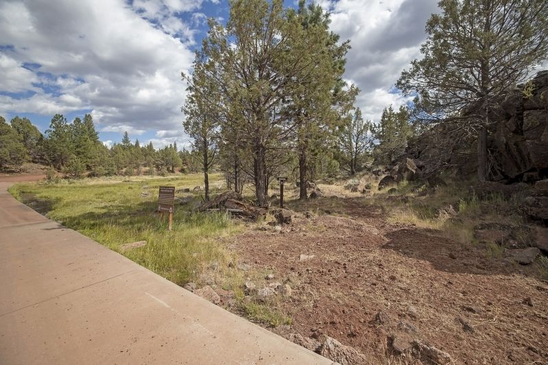
More about this marker. This marker is located near a Trails West Inc. marker.
Regarding Applegate Trail. It should be noted that the Applegate Trail is also known as part of the Oregon Trail because the emigrant route was created as an alternative 'Southern Route into Oregon' and a less dangerous route than the Oregon Trail which blazed through northeastern Oregon and into the Willamette Valley in the early-to-mid 1800s.
Trails West, Inc. sells a driving guidebook titled A Guide to the Applegate Trail - From Goose Lake to Southern Oregon which provides maps and additional history on the Applegate Trail as it passed through designated marker locations. Purchasing this guidebook prior to visiting the Applegate Trail markers is highly encouraged to gain a better experience of the history of this historic trail.
Credits. This page was last revised on July 10, 2020. It was originally submitted on July 3, 2020, by Douglass Halvorsen of Klamath Falls, Oregon. This page has been viewed 319 times since then and 31 times this year. Photos: 1, 2. submitted on July 3, 2020, by Douglass Halvorsen of Klamath Falls, Oregon. • J. Makali Bruton was the editor who published this page.

