Newton in Catawba County, North Carolina — The American South (South Atlantic)
Civil War Raid Through Western North Carolina
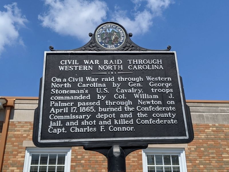
Photographed by Mike Wintermantel
1. Civil War Raid Through Western North Carolina Marker
Topics. This historical marker is listed in this topic list: War, US Civil. A significant historical date for this entry is April 17, 1865.
Location. 35° 39.764′ N, 81° 13.36′ W. Marker is in Newton, North Carolina, in Catawba County. It is at the intersection of State Highway 16 and W A Street, on the right when traveling south on State Highway 16. Touch for map. Marker is in this post office area: Newton NC 28658, United States of America. Touch for directions.

Regionally, this marker is in the Piedmont. It is also in the American South and specifically in the Upper South. Globally, it is in North America, the Western Hemisphere, the Western World, and the Anglosphere. Historically, it finds itself in what was once the territory of the Mississippian Culture, one of the original Thirteen Colonies, one of the Confederate States of America,
this page online
Other nearby markers. At least 8 other markers are within walking distance of this marker: M.L. McCorkle (within shouting distance of this marker); Catawba County War Memorial (within shouting distance of this marker); Old Court House Well (within shouting distance of this marker); Rutherford's March Tribute (about 300 feet away, measured in a direct line); Catawba County Confederate Memorial (about 300 feet away); The Enterprise Building (about 400 feet away); Hoke Smith (approx. 0.4 miles away); Wilson Warlick (approx. 0.4 miles away). Touch for a list and map of all markers in Newton.
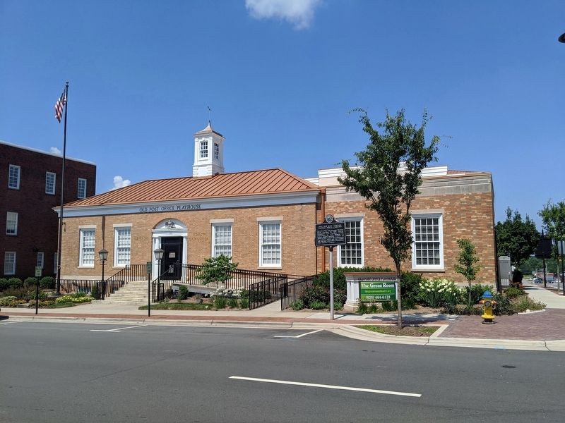
Photographed by Mike Wintermantel
2. Civil War Raid Through Western North Carolina Marker
Credits. This page was last revised on July 5, 2020. It was originally submitted on July 5, 2020, by Mike Wintermantel of Pittsburgh, Pennsylvania. This page has been viewed 628 times since then and 60 times this year. Photos: 1, 2. submitted on July 5, 2020, by Mike Wintermantel of Pittsburgh, Pennsylvania.
