Medford in Jackson County, Oregon — The American West (Northwest)
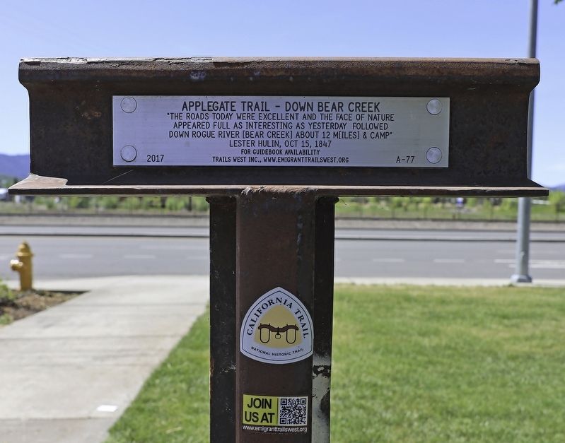
Applegate Trail - Down Bear Creek
Photographed by Douglass Halvorsen, April 26, 2020
1. Applegate Trail - Down Bear Creek Marker
appeared full as interesting as yesterday Followed
down Rogue River [Bear Creek] about 12 mi[le]s & camp"
-Lester Hulin, Oct 15, 1847
Erected 2017 by Trails West, Inc. (Marker Number A-77.)
Topics and series. This historical marker is listed in these topic lists: Exploration • Roads & Vehicles • Settlements & Settlers. In addition, it is included in the Applegate Trail, the California Trail, and the Trails West Inc. series lists. A significant historical date for this entry is August 30, 1853.
Location. 42° 18.7′ N, 122° 51.549′ W. Marker is in Medford, Oregon, in Jackson County. It is on South Pacific Hwy (U.S. 99), on the right when traveling north. Touch for map. Marker is at or near this postal address: 1501 Maple Grove Drive, Medford OR 97501, United States of America. Touch for directions.

Regionally, this marker is in Southern Oregon. It is also on the American Pacific Coast, in the Pacific Northwest, and in the Lewis & Clark Corridor. Globally, it is in North America, in the Cascade Range, on the Ring of Fire, on the Pacific Rim, in the Western
this page online
Other nearby markers. At least 8 other markers are within 2 miles of this marker, measured as the crow flies: Miles Field (approx. 0.2 miles away); Newell Barber Field (approx. 0.3 miles away); Harry & David Comice Pear Trees (approx. ¾ mile away); First Public School Building in Medford (approx. 1.1 miles away); Historic Land Survey Monument (approx. 1.2 miles away); Replica of the Statue of Liberty (approx. 1.2 miles away); Medford Townsite (approx. 1.2 miles away); August D. Singler (approx. 1.2 miles away). Touch for a list and map of all markers in Medford.
More about this marker. This marker is located at the south end of Veterans Memorial Park.
Regarding Applegate Trail - Down Bear Creek. This marker is located along the original 1846 route of the Applegate Trail. In 1853 (and afterwards) the trail diverged at South Stage Road (southeast of here) heading west towards Jacksonville.
Photographed by Douglass Halvorsen, April 26, 2020
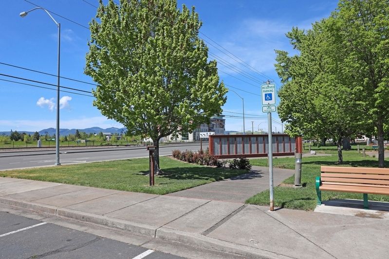
2. Applegate Trail - Down Bear Creek Marker
View of marker looking northwest towards S Pacific Hwy 99.
Photographed by Douglass Halvorsen, April 26, 2020
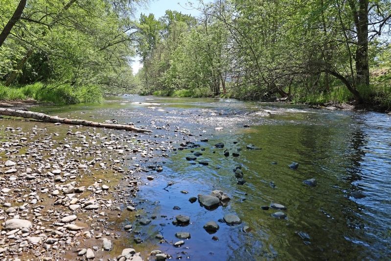
3. Bear Creek
Beautiful Bear Creek located within Bear Creek Park northwest of here.
Credits. This page was last revised on July 11, 2020. It was originally submitted on July 6, 2020, by Douglass Halvorsen of Klamath Falls, Oregon. This page has been viewed 409 times since then and 22 times this year. Photos: 1, 2, 3. submitted on July 6, 2020, by Douglass Halvorsen of Klamath Falls, Oregon. • J. Makali Bruton was the editor who published this page.
