Medford in Jackson County, Oregon — The American West (Northwest)
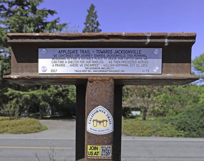
Applegate Trail - Towards Jacksonville
designing to find a suitable place to graze our cattle until we
can find a shelter for our families...we then proceeded across
a prairie...where we encamped" - William Hoffman, Oct 31, 1853
Erected 2017 by Trails West, Inc. (Marker Number A-79.)
Topics and series. This historical marker is listed in these topic lists: Exploration • Roads & Vehicles • Settlements & Settlers. In addition, it is included in the Applegate Trail, the California Trail, and the Trails West Inc. series lists. A significant historical year for this entry is 1853.
Location. 42° 18.074′ N, 122° 54.624′ W. Marker is in Medford, Oregon, in Jackson County. Marker is on South Stage Road, on the left. Touch for map. Marker is in this post office area: Medford OR 97501, United States of America. Touch for directions.
Other nearby markers. At least 8 other markers are within 3 miles of this marker, measured as the crow flies. Replica of the Statue of Liberty (approx. 2.3 miles away); Medford Public Library (approx. 2.3 miles away); Scion of the Washington Elm (approx. 2.4 miles away); Medford Townsite (approx. 2.4 miles away); Historic Land Survey Monument (approx. 2.4 miles away); The Shone-Charley House (approx. 2˝ miles away); Cuthbert Building (approx. 2.6 miles away); The War Brings Change (approx. 2.6 miles away). Touch for a list and map of all markers in Medford.
Regarding Applegate Trail - Towards Jacksonville. This marker represents the 1853 Applegate Trail route that diverged from the 1846 route north of Phoenix. It headed west and more or less followed much of South Stage Road and continued to Jacksonville.
Credits. This page was last revised on July 11, 2020. It was originally submitted on July 6, 2020, by Douglass Halvorsen of Klamath Falls, Oregon. This page has been viewed 156 times since then and 8 times this year. Photos: 1, 2. submitted on July 6, 2020, by Douglass Halvorsen of Klamath Falls, Oregon. • J. Makali Bruton was the editor who published this page.

