Taylor Run in Alexandria, Virginia — The American South (Mid-Atlantic)
Alexandria in the Civil War
"Alexandria is ours!"
Photographed by Tom Bosse, July 4, 2020
1. Alexandria in the Civil War Marker
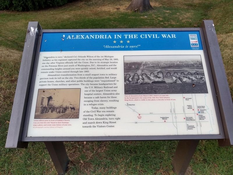
Alexandria's transformation from a small seaport town to military garrison took its toll on the city. Two-thirds of the population fled. Large private homes, churches and other public buildings were "requisitioned" to support the Union military occupations. The city became headquarters for the U.S. Military Railroad and one of the largest Union army hospital centers. Alexandria also became a safe haven for those escaping slavery, resulting in a refugee crisis.
Today, many buildings of the Civil War era remain standing. To begin exploring Old Town Alexandria, turn right and march down King Street towards the Visitors Center.
(captions)
(left) Union officers pose in front of Gadsby’s Tavern.
this page online
(right) View of Alexandria from Shuter’s Hill, which is to your left. In the foreground is the camp of the 44th New York Infantry. King Street, which is visible in this photo, is directly in front of you.
Erected by Virginia Civil War Trails.
Topics and series. This historical marker is listed in this topic list: War, US Civil. In addition, it is included in the Virginia Civil War Trails series list. A significant historical date for this entry is May 24, 1861.
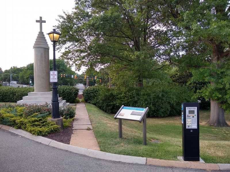
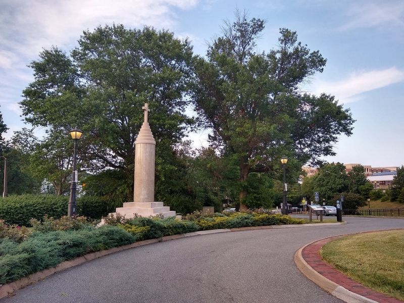
Location. 38° 48.401′ N, 77° 3.74′ W. Marker is in Alexandria, Virginia. It is in Taylor Run. It can be reached from the intersection of Callahan Drive and King Street (Virginia Route 7), on the right when traveling north. Marker is located in front of the Amtrak Station. Touch for map. Marker is at or near this postal address: 110 Callahan Drive, Alexandria VA 22301, United States of America. Touch for directions.

Regionally, this marker is in the Washington Metropolitan Area and in Northern Virginia. It is also in the American South,
Photographed by Tom Bosse, July 4, 2020
2. Alexandria in the Civil War Marker
Other nearby markers. At least 8 other markers are within walking distance of this marker: Veterans Memorial (a few steps from this marker); Alexandria War Memorial (a few steps from this marker); World War I Memorial (a few steps from this marker); Vietnam War Memorial (a few steps from this marker); All Aboard at Alexandria Union Station (within shouting distance of this marker); Fighting Back (about 300 feet away, measured in a direct line); Original Federal Boundary Stone, District of Columbia, Southwest 2 (about 300 feet away); Shuter's Hill and the West End (about 400 feet away). Touch for a list and map of all markers in Alexandria.
Other markers no longer nearby. Alexandria (was here, next to this marker but
Photographed by Tom Bosse, July 4, 2020
3. Alexandria in the Civil War Marker
Also see . . . Old Marker at this Location. This marker replaced an older Civil War Trails marker at this location titled “Alexandria - Alexandria in the Civil War" (Submitted on July 11, 2020.)
Credits. This page was last revised on January 28, 2023. It was originally submitted on July 11, 2020, by Tom Bosse of Jefferson City, Tennessee. This page has been viewed 613 times since then and 48 times this year. Photos: 1, 2, 3. submitted on July 11, 2020, by Tom Bosse of Jefferson City, Tennessee. • Bernard Fisher was the editor who published this page.
