Gordo in Pickens County, Alabama — The American South (East South Central)
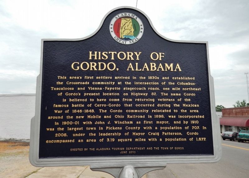
History of Gordo, Alabama
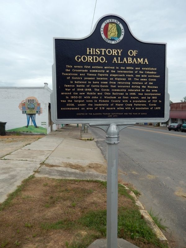
This area's first settlers arrived in the 1830s and established the Crossroads community at the intersection of the Columbus-Tuscaloosa and Vienna-Fayette stagecoach roads, one mile northeast of Gordo's present location on Highway 82. The name Gordo is believed to have come from returning veterans of the famous battle of Cerro-Gordo that occurred during the Mexican War of 1846-1848. The Gordo community relocated to the area around the new Mobile and Ohio Railroad in 1898, was incorporated in 1900-01 with John J. Windham as first mayor, and by 1910 was the largest town in Pickens County with a population of 707. In 2008, under the leadership of Mayor Craig Patterson, Gordo encompassed an area of 3.19 square miles with a population of 1,677.
Erected 2010 by Alabama Tourism Department and the Town of Gordo.
Topics. This historical marker is listed in these topic lists: Railroads & Streetcars • Roads & Vehicles • Settlements & Settlers • War, Mexican-American. A significant historical year for this entry is 1898.
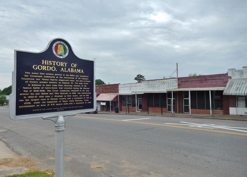
Location. 33° 19.249′ N, 87° 54.183′ W. Marker is in Gordo, Alabama, in Pickens County. Marker is at the intersection of North Main Street (Alabama Route 159) and 2nd Avenue Northwest, on the right when traveling north on North Main Street. Marker is located beside the sidewalk, at the southeast corner of the intersection. Touch for map. Marker is in this post office area: Gordo AL 35466, United States of America. Touch for directions.
Other nearby markers. At least 8 other markers are within 15 miles of this marker, measured as the crow flies. First City Hall - Jail (about 300 feet away, measured in a direct line); Carrollton Short Line Railroad (approx. 11.6 miles away); Pickens County War Memorial (approx. 11.8 miles away); Pickens County Courthouse (approx. 11.8 miles away); Kelly - Stone - Hill Place (approx. 11.8 miles away); Coker Community Cemetery (approx. 12.6 miles away); Romulus, Alabama (approx. 14.8 miles away); Running Skirmish at Romulus (approx. 14.8 miles away).
Also see . . . Gordo, Alabama. Encyclopedia of Alabama website entry:
Present-day Gordo sits on land that was part of some of the earliest U.S. land grants in the area, issued around 1821. Tradition has it that a soldier returning from the Battle of Sierra Gordo during the Mexican Revolution dubbed the area Gordo. A sawmill opened in the area in 1831 and a post office was established in 1847. (Submitted on July 11, 2020, by Cosmos Mariner of Cape Canaveral, Florida.)
Credits. This page was last revised on April 21, 2023. It was originally submitted on July 11, 2020, by Cosmos Mariner of Cape Canaveral, Florida. This page has been viewed 710 times since then and 80 times this year. Photos: 1, 2, 3. submitted on July 11, 2020, by Cosmos Mariner of Cape Canaveral, Florida.


