Mount Vernon Square in Northwest Washington in Washington, District of Columbia — The American Northeast (Mid-Atlantic)
Second Baptist Church
816 Third Street, NW
| — | African American Heritage Trail, Washington DC | — |
Photographed by Ray Gurganus, June 22, 2020
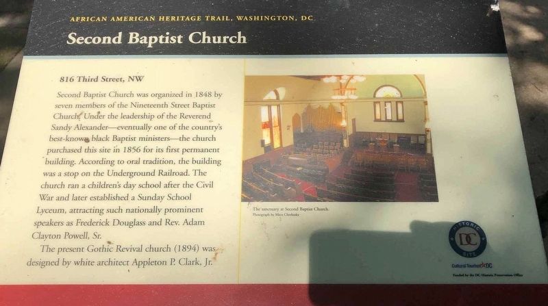
1. Second Baptist Church Marker
Second Baptist Church was organized in 1848 by seven members of the Nineteenth Street Baptist Church. Under the leadership of the Reverend Sandy Alexander — eventually one of the country's best-known black Baptist ministers — the church purchased this site in 1856 for its first permanent building. According to oral tradition, the building was a stop on the Underground Railroad. The church ran a children's day school after the Civil War and later established a Sunday School Lyceum, attracting such nationally prominent speakers as Frederick Douglass and Rev. Adam Clayton Powell, Sr.
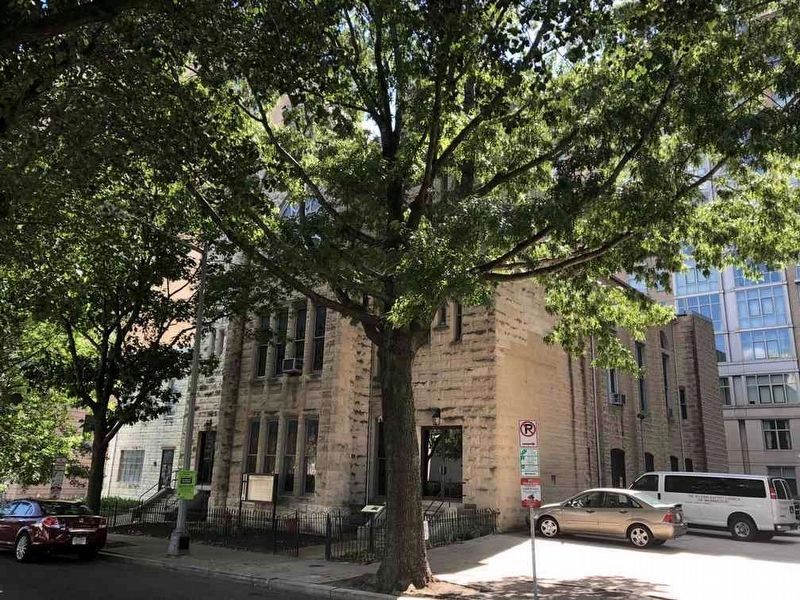
The present Gothic Revival church (1894) was designed by white architect Appleton P Clark, Jr.
Erected by Cultural Tourism DC.
Topics and series. This historical marker is listed in these topic lists: Abolition & Underground RR • African Americans • Architecture • Religion & Religious Structures. In addition, it is included in the African American Heritage Trail series list.
Location. 38° 54.05′ N, 77° 0.917′ W. Marker is in Northwest Washington in Washington, District
this page online

Regionally, this marker is in the Washington Metropolitan Area. It is also in the American Northeast, in the Upper South, in the Mid-Atlantic, in the Tidewater, and in the Chesapeake Bay Region. Globally, it is in North America, the Western Hemisphere, the Western World, and the Anglosphere.
Other nearby markers. At least 8 other markers are within walking distance of this marker: Zero Hunger (about 400 feet away, measured in a direct line); Banneker Junior High School (about 700 feet away); Adams Elementary School (about 800 feet away); Ballou High School (about 800 feet away); Civics at School, 1976 (approx. 0.2 miles away); Shaw Junior High School (approx. 0.2 miles away); Black History Month, 1976 (approx. 0.2 miles away); Birth of Go-Go, 1976 (approx. 0.2 miles away). Touch for a list and map of all markers in Northwest Washington.
Photographed by Ray Gurganus, July 14, 2020
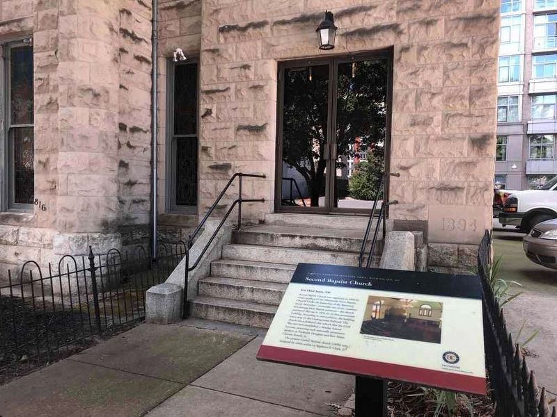
2. Marker next to the church door
Photographed by Ray Gurganus, July 14, 2020
3. Second Baptist Church
Credits. This page was last revised on January 30, 2023. It was originally submitted on July 12, 2020, by Ray Gurganus of Washington, District of Columbia. This page has been viewed 410 times since then and 31 times this year. Photos: 1. submitted on July 12, 2020, by Ray Gurganus of Washington, District of Columbia. 2, 3. submitted on July 14, 2020, by Ray Gurganus of Washington, District of Columbia. • Devry Becker Jones was the editor who published this page.
