Stevensburg in Culpeper County, Virginia — The American South (Mid-Atlantic)
The Civil War in Stevensburg
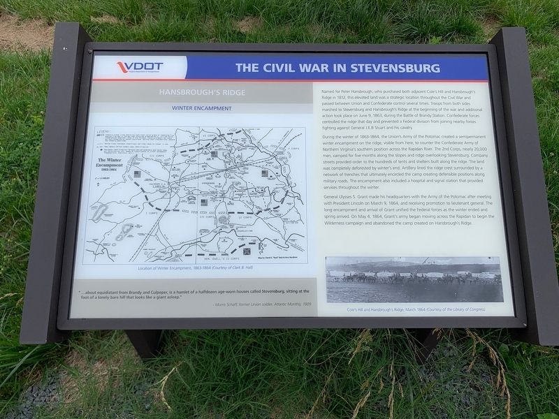
Hansbrough's Ridge
— Winter Encampment —
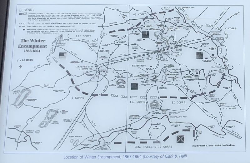
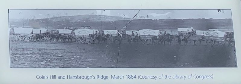
During the winter of 1863-1864, the Union's Army of the Potomac created a semipermanent winter encampment on the ridge, visible from here, to counter the Confederate Army of Northern Virginia's southern position across the Rapidan River. The 2nd Corps, nearly 20,000 men, camped for five months along the slopes and ridge overlooking Stevensburg. Company streets provided order to the hundreds of tents and shelters built along the ridge. The land was completely deforested by winter's end. Artillery lined the ridge crest surrounded by a network of trenches that ultimately encircled the camp creating defensible positions along military roads. The encampment also included a hospital and signal station that provided services throughout the winter.
General Ulysses S. Grant made his headquarters with the Army of the Potomac after meeting with President Lincoln on March 9, 1864, and receiving promotion to lieutenant general. The long encampment and arrival of Grant unified the Federal forces as the winter ended and spring arrived. On May 4, 1864, Grant's army began moving across the Rapidan to being the Wilderness campaign and abandoned the camp created on Hansbrough's Ridge.
Sidebar:
"...about equidistant from Brandy and Culpeper, is a hamlet of a halfdozen age-worn houses called Stevensburg, sitting at the foot of a lonely bare hill that looks like a giant asleep."
-Morris Schaff, former Union soldier, Atlantic Monthly, 1909.
Erected 2020 by Virginia Department of Transportation.
Topics and series. This historical marker is listed in this topic list: War, US Civil. In addition, it is included in the Former U.S. Presidents: #16 Abraham Lincoln, and the Former U.S. Presidents: #18 Ulysses S. Grant series lists. A significant historical date for this entry is March 9, 1864.
Location. 38° 26.506′ N, 77° 53.449′ W. Marker is in Stevensburg, Virginia, in Culpeper County. Marker is at the intersection of York Road (State Road 600) and Germanna Highway (State Highway 3), on the right when traveling east on York Road. Located at an
interpretive pull off on the east end of Stevensburg. Touch for map. Marker is in this post office area: Stevensburg VA 22741, United States of America. Touch for directions.
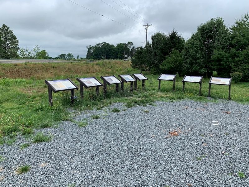
Other nearby markers. At least 8 other markers are within walking distance of this marker. A different marker also named The Civil War in Stevensburg (here, next to this marker); a different marker also named The Civil War in Stevensburg (here, next to this marker); a different marker also named The Civil War in Stevensburg (here, next to this marker); Battlefield Preservation (a few steps from this marker); Religion in Stevensburg (a few steps from this marker); a different marker also named Religion in Stevensburg (a few steps from this marker); Historic Stevensburg (a few steps from this marker); Welcome to Historic Stevensburg, Virginia (about 500 feet away, measured in a direct line). Touch for a list and map of all markers in Stevensburg.
Credits. This page was last revised on July 14, 2020. It was originally submitted on July 12, 2020, by Craig Swain of Leesburg, Virginia. This page has been viewed 735 times since then and 98 times this year. Photos: 1. submitted on July 12, 2020, by Craig Swain of Leesburg, Virginia. 2, 3. submitted on July 14, 2020, by Craig Swain of Leesburg, Virginia. 4. submitted on July 12, 2020, by Craig Swain of Leesburg, Virginia.


