Stevensburg in Culpeper County, Virginia — The American South (Mid-Atlantic)
The Civil War in Stevensburg
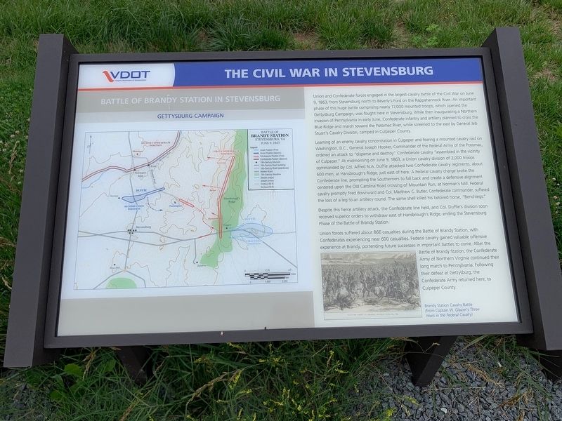
Battle of Brandy Station in Stevensburg
— Gettysburg Campaign —
Learning of an enemy cavalry concentration in Culpeper and fearing a mounted cavalry raid on Washington, D.C., General Joseph Hooker, Commander of the Federal Army of the Potomac, ordered an attack to "disperse and destroy" Confederate cavalry "assembled in the vicinity of Culpeper." At midmorning on June 9, 1863, a Union cavalry division of 2,000 troops commanded by Col. Alfred N.A. Duffie attacked two Confederate cavalry regiments, about 600 men, at Hansbrough's Ridge, just east of here. A Federal cavalry charge broke the Confederate line, prompting the Southerners to fall back and create a defensive alignment centered upon the Old Carolina Road crossing of Mountain Run, at Norman's Mill. Federal cavalry promptly fired downward and Col. Matthew C. Butler, Confederate commander, suffered the loss of a leg to an artillery round. That same shell killed his beloved horse, "Benchlegs."
Despite this fierce artillery attack, the Confederate line held, and Col. Duffie's division soon receive superior orders to withdraw east of Hansbrough's Ridge, ending the Stevensburg Phase of the Battle of Brandy Station.
Union forces suffered about 866 casualties during the Battle of Brandy Station, with Confederates experiencing near 600 casualties. Federal cavalry gained valuable offensive experience at Brandy, portending future successes in important battles to come. After the Battle of Brandy Station, the Confederate Army of Northern Virginia continued their long march to Pennsylvania. Following their defeat at Gettysburg, the Confederate Army returned here, to Culpeper County.
Erected 2020 by Virginia Department of Transportation.
Topics. This historical marker is listed in this topic list: War, US Civil. A significant historical date for this entry is June 9, 1863.
Location. 38° 26.508′ N, 77° 53.449′ W. Marker is in Stevensburg, Virginia, in Culpeper County. Marker is at the intersection of York Road (State Road 600) and Germanna Highway (State Highway 3), on the right when traveling east on York Road. Located at an interpretive pull off on the east end of Stevensburg. Touch for map. Marker is in this post office area: Stevensburg VA 22741, United States of America. Touch for directions.
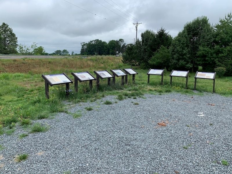
Other nearby markers. At least 8 other markers are within walking distance of this marker. A different marker also named The Civil War in Stevensburg (here, next to this marker); a different marker also named The Civil War in Stevensburg (here, next to this marker); a different marker also named The Civil War in Stevensburg (here, next to this marker); Battlefield Preservation (a few steps from this marker); Religion in Stevensburg (a few steps from this marker); a different marker also named Religion in Stevensburg (a few steps from this marker); Historic Stevensburg (a few steps from this marker); Welcome to Historic Stevensburg, Virginia (about 500 feet away, measured in a direct line). Touch for a list and map of all markers in Stevensburg.
Credits. This page was last revised on May 29, 2023. It was originally submitted on July 12, 2020, by Craig Swain of Leesburg, Virginia. This page has been viewed 441 times since then and 49 times this year. Photos: 1, 2. submitted on July 12, 2020, by Craig Swain of Leesburg, Virginia. 3. submitted on July 14, 2020, by Craig Swain of Leesburg, Virginia.


