Scottsville in Allen County, Kentucky — The American South (East South Central)
An Army Restored

Photographed by Tom Bosse, July 5, 2019
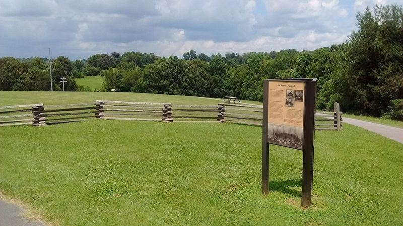
1. An Army Restored Marker
Camps of Soldiers Surrounded Scottsville
Tents housing almost 5,000 soldiers—ten times the population of Scottsville in 1862—covered the hillsides around town. Imagine what it looked like. Imagine the sounds of men drilling, horses stamping and neighing, bugles blaring, orders being shouted, and the booming of cannon every morning at five o’clock!
The Men Drilled, Prepared for Battle, and Relaxed
For four hours each day the soldiers drilled, marched and practiced battle skills. One veteran officer organized a school of instruction, teaching new officers tactics, squad and battalion drill.
When off-duty, soldiers read books, enjoyed card games or played harmonicas. Many wrote letters describing the camp and how they spent their day. On Sunday, they attended religious services in camp.
The townsfolk came to gawk and to trade with the boys in blue. The soldiers bought fresh vegetables, fruit and pies to supplement their army rations. Some hired local women to cook, do laundry and mend clothes.
Marching into Tennessee and into Battle
After several weeks in Scottsville the soldiers were eager to get back into action and help win the war. On November 26, 1862, the soldiers broke camp, leaving behind twenty-seen of their comrades who had died of disease. They marched down the Nashville Pike and into Tennessee. Many would fight in the massive Battle of Stones River in Murfreesboro. Some would die there.
“We were crossing the state line, and cheer after cheer echoed through the valley as different regiments shook the dust of Kentucky off their feet.”
(captions)
Scenes from Union encampments
“We have come nearer living like we used to at home today than ever before.” Lieutenant Thomas E. Smith, 79th Ohio
A
this page online
Topics. This historical marker is listed in this topic list: War, US Civil. A significant historical date for this entry is November 26, 1862.
Location. 36° 45.546′ N, 86° 11.869′ W. Marker is in Scottsville, Kentucky, in Allen County. It can be reached from North Bedelia Street (Kentucky Route 1386) 0.1 miles west of Dumont Hill Street, on the right when traveling west. Marker located on Dumont Hill at Dugas Community Park. Touch for map. Marker is at or near this postal address: 336 North Bedelia St, Scottsville KY 42164, United States of America. Touch for directions.

Regionally, this marker is in Kentucky’s Pennyroyal Region. It is also in the American South and specifically in the Upper South. Globally, it is in North America, the Western Hemisphere, the Western World, and the Anglosphere. Historically, it finds itself in what was once the territory of the Mississippian Culture and also the Antebellum South.
Other nearby markers. At least 8 other markers are within walking distance of this marker: An Army in Crisis (here, next to this marker); Ebenezer Dumont (within shouting distance of this marker);
Photographed by Tom Bosse, July 5, 2019
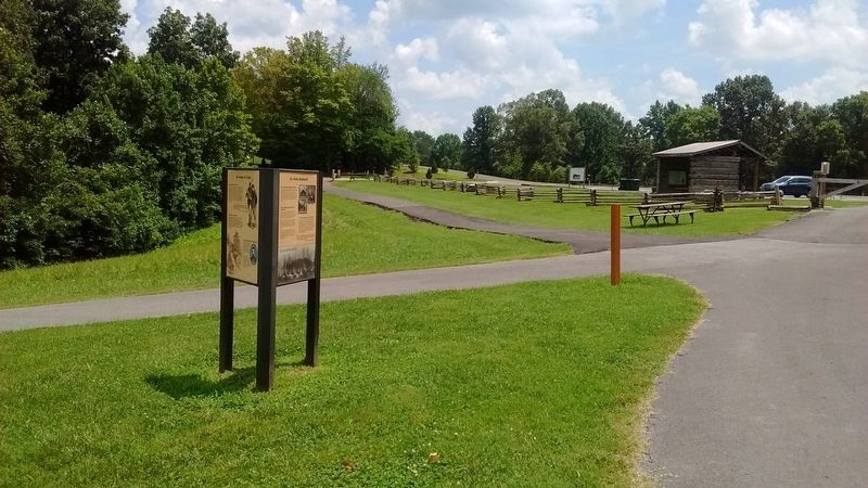
2. An Army Restored Marker
Photographed by Tom Bosse, July 5, 2019
3. An Army Restored Marker
Photographed by Tom Bosse, July 5, 2019
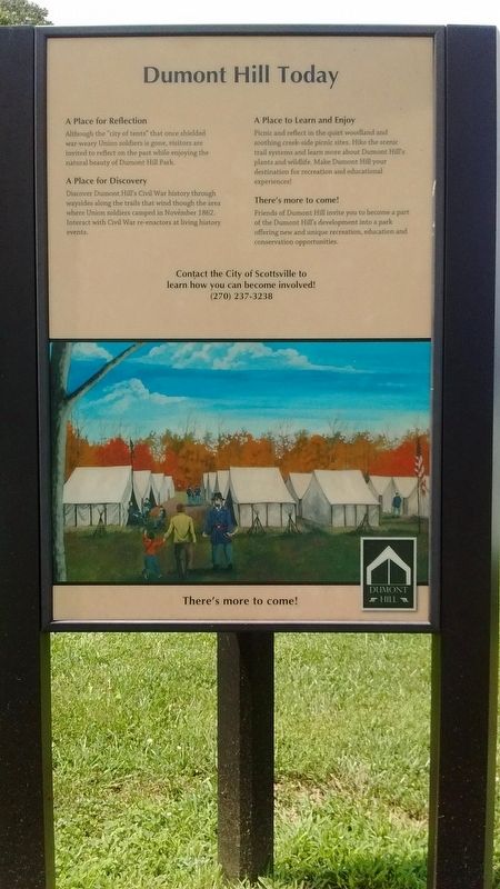
4. Dumont Hill Today Marker
Photographed by Tom Bosse, July 5, 2019
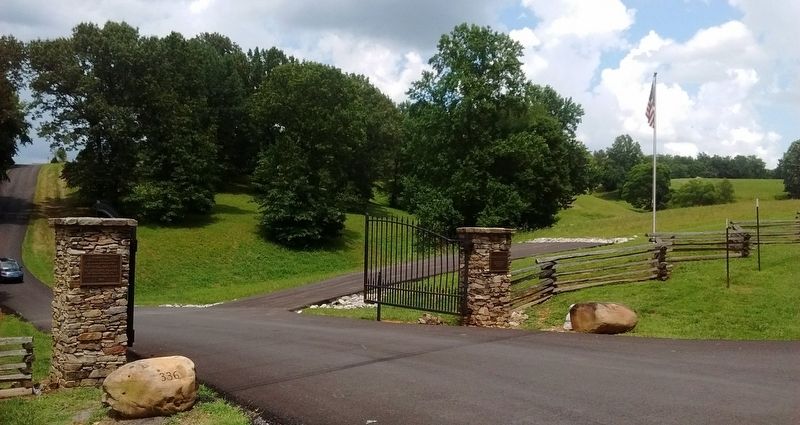
5. Dumont Hill at Dugas Community Park.
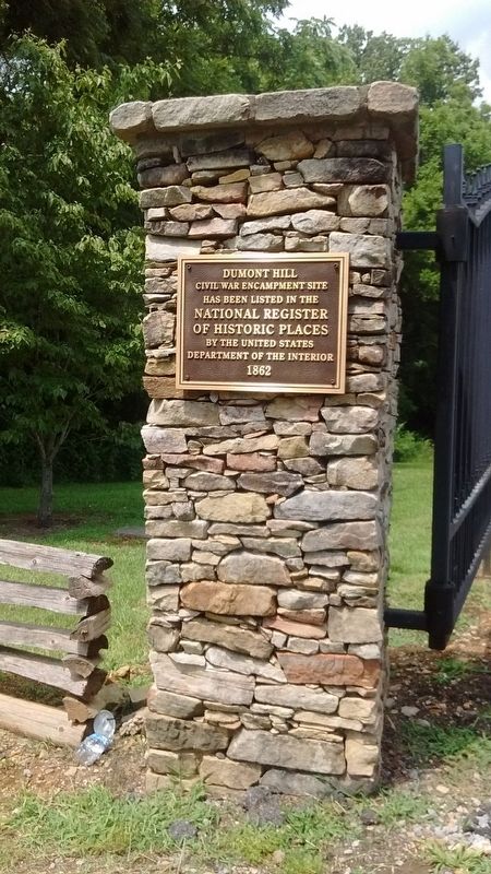
Photographed by Tom Bosse, July 5, 2019
6. Dumont Hill at Dugas Community Park.
Credits. This page was last revised on July 14, 2020. It was originally submitted on July 13, 2020, by Tom Bosse of Jefferson City, Tennessee. This page has been viewed 445 times since then and 46 times this year. Photos: 1, 2, 3, 4, 5, 6. submitted on July 13, 2020, by Tom Bosse of Jefferson City, Tennessee. • Bernard Fisher was the editor who published this page.
