Plainfield in Coshocton County, Ohio — The American Midwest (Great Lakes)
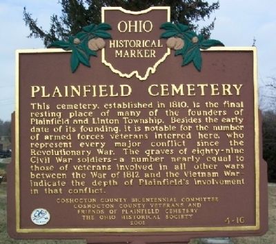
Plainfield Cemetery
Photographed by William Fischer, Jr., December 22, 2008
1. Plainfield Cemetery Marker
Erected 2001 by Coshocton County Bicentennial Committee, Coshocton County Veterans and Friends of Plainfield Cemetery, and The Ohio Historical Society. (Marker Number 4-16.)
Topics and series. This historical marker is listed in these topic lists: Cemeteries & Burial Sites • War of 1812 • War, Korean • War, Spanish-American • War, US Civil • War, US Revolutionary • War, Vietnam • War, World I • War, World II. In addition, it is included in the Ohio Historical Society / The Ohio History Connection series list. A significant historical year for this entry is 1810.
Location. 40° 12.451′ N, 81° 43.307′ W.
this page online

Regionally, this marker is in Amish Country. It is also in the American Midwest, in Appalachia, and specifically in Northern Appalachia. Globally, it is in North America, the Western Hemisphere, the Western World, and the Anglosphere. Historically, it finds itself in what was once the Haudenosaunee (Iroquois) Confederacy, the territory of the Mississippian Culture, and the Northwest Territory.
Other nearby markers. At least 8 other markers are within 5 miles of this marker, measured as the crow flies: A different marker also named Plainfield Cemetery (here, next to this marker); George W. Crile, M. D. (about 600 feet away, measured in a direct line); West Lafayette War Memorial (approx. 4.2 miles away); West Lafayette (approx. 4.4 miles away); a different marker also named West Lafayette (approx. 4.7 miles away); West Lafayette Volunteer Fire Department Centennial
Photographed by William Fischer, Jr., December 22, 2008
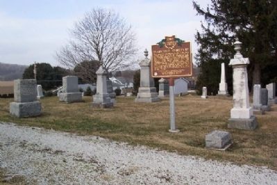
2. Plainfield Cemetery Marker
Looking northwest.
Photographed by William Fischer, Jr., December 22, 2008
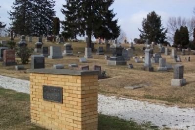
3. Plainfield Cemetery
Looking northwest. Marker is seen between pine trees on ridge line at right center of photo.
Photographed by William Fischer, Jr.
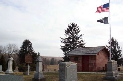
4. Quentin A. Roahrig Marker
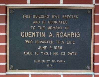
Looking southeast. The building to the right of the marker was erected in 1970 in memory of Quentin A. Roahrig (see next picture).
Photographed by William Fischer, Jr.
5. Quentin A. Roahrig dedication
Aged 18 yrs. 1 mo. 23 days
Erected by his family (1970)
Credits. This page was last revised on November 29, 2025. It was originally submitted on January 12, 2009, by William Fischer, Jr. of Reynoldsburg, Ohio. This page has been viewed 2,615 times since then and 100 times this year. Last updated on January 13, 2009, by William Fischer, Jr. of Reynoldsburg, Ohio. Photos: 1, 2, 3, 4, 5. submitted on January 12, 2009, by William Fischer, Jr. of Reynoldsburg, Ohio. • Craig Swain was the editor who published this page.
