Woodberry Forest in Madison County, Virginia — The American South (Mid-Atlantic)
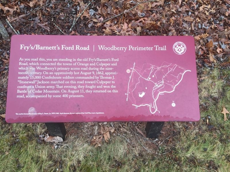
Fry's / Barnett's Ford Road
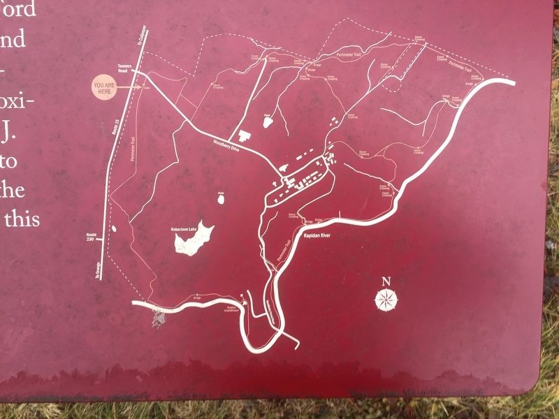
Woodberry Perimeter Trail
This marker honors the memory of Roy L. Smart, Jr., WFS 1940 - loyal alumnus, devoted student of the Civil War, truest of gentlemen.
Erected by Woodberry Forest School.
Topics. This historical marker is listed in these topic lists: Roads & Vehicles • War, US Civil. A significant historical date for this entry is August 9, 1862.
Location. 38° 17.922′ N, 78° 8.083′ W. Marker is in Woodberry Forest, Virginia, in Madison County. Marker can be reached from the intersection of James Madison Highway (U.S. 15) and Woodberry Forest Road (State Road 622), on the right when traveling north. Touch for map. Marker is in this post office area: Woodberry Forest VA 22989, United States of America. Touch for directions.
Other nearby markers. At least 8 other markers are within 4 miles of this marker, measured as the crow flies. Woodberry Forest School (about 400 feet away, measured in a direct line); Knights of the Golden Horseshoe (approx. 1.1 miles away); Orange County / Madison County (approx. 1.3 miles away); Kemper's Grave (approx. 1.3 miles away); Jackson’s Crossing (approx. 3˝ miles away); Vietnam War Memorial (approx. 3.9 miles away); World War II Memorial (approx. 3.9 miles away); Korean War Memorial (approx. 3.9 miles away). Touch for a list and map of all markers in Woodberry Forest.
Credits. This page was last revised on July 8, 2021. It was originally submitted on July 14, 2020, by Craig Swain of Leesburg, Virginia. This page has been viewed 324 times since then and 62 times this year. Photos: 1, 2, 3. submitted on July 14, 2020, by Craig Swain of Leesburg, Virginia.


