Keyser in Mineral County, West Virginia — The American South (Appalachia)
Former Keyser High School
Keyser Historical Walking Trail
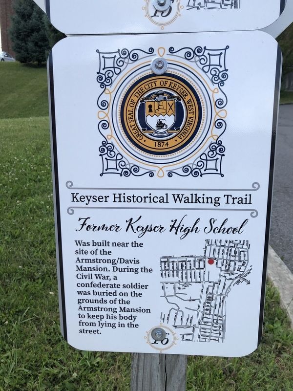
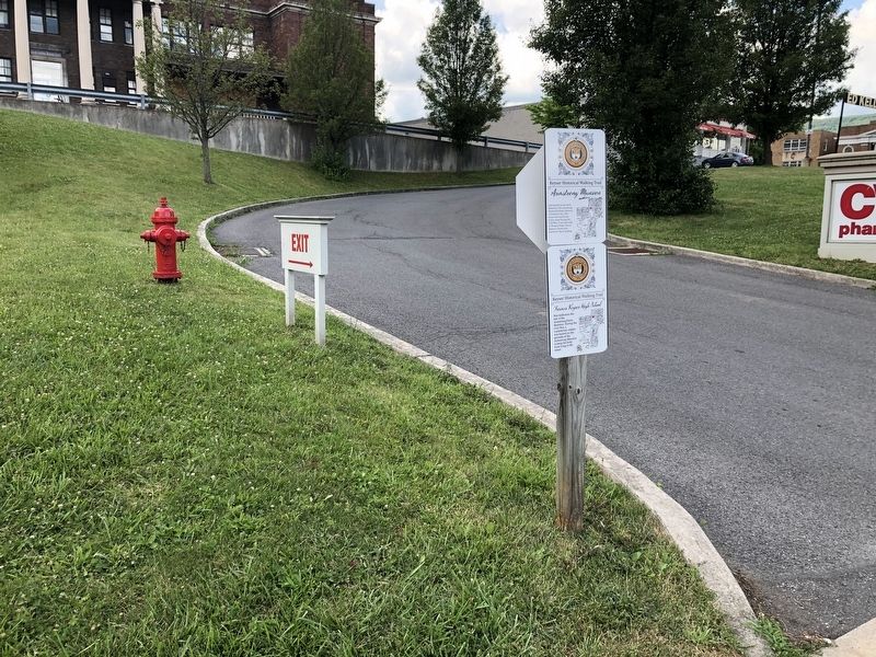
Erected by The City of Keyser, West Virginia. (Marker Number 16.)
Topics and series. This historical marker is listed in these topic lists: Cemeteries & Burial Sites • Education • War, US Civil. In addition, it is included in the West Virginia, The City of Keyser series list.
Location. 39° 26.374′ N, 78° 58.603′ W. Marker is in Keyser, West Virginia, in Mineral County. It is at the intersection of West Piedmont Street and North Davis Street, on the right when traveling east on West Piedmont Street. Touch for map. Marker is at or near this postal address: 32 N Davis St, Keyser WV 26726, United States of America. Touch for directions.

Regionally, this marker is in the Eastern Panhandle. It is also in the American South, specifically in the Upper South, in Appalachia, and specifically in Northern Appalachia. Globally, it is in North America,
this page online
Other nearby markers. At least 5 other markers are within walking distance of this marker: Armstrong Mansion (here, next to this marker); Historical Marker near Post Office (a few steps from this marker); Keyser / Averell’s Raid (a few steps from this marker); The Ed Kelley Memorial Plaza (a few steps from this marker); Jonah Edward Kelley (within shouting distance of this marker). Touch for a list and map of all markers in Keyser.
Other markers no longer nearby. Kelley Memorial Plaza (was a few steps from this marker but has been replaced with another marker now near it); World War II (was a few steps from this marker but has been replaced with another marker now near it); D-Day (was a few steps from this marker but has been replaced with another marker now near it); Key Terrain (was a few steps from this marker but has been replaced with another marker now near it); The First Battle of Kesternich (was a few steps from this marker but has been replaced with another
Credits. This page was last revised on April 22, 2022. It was originally submitted on July 14, 2020, by Devry Becker Jones of Washington, District of Columbia. This page has been viewed 2,194 times since then and 134 times this year. Photos: 1, 2. submitted on July 14, 2020, by Devry Becker Jones of Washington, District of Columbia.
