Near Aspen in Pitkin County, Colorado — The American Mountains (Southwest)
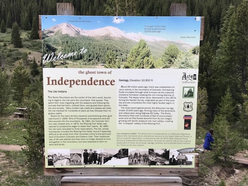
Welcome to the Ghost Town of Independence
Inscription.
The Ute Indians
The Rocky Mountains are the center of the Ute's world. According to legend, the Ute were the mountains' first people. They spent their lives migrating with the seasons and following the animals that fed them, clothed them, and guided them spiritually and socially. Many modern day roads and passes are trails the Ute traveled for hundreds of years as they followed their migratory paths.
Desire for the Ute's territory became overwhelming when gold was found in 1858. Tens of thousands of prospectors and settlers poured into the mountains. By 1861, the Colorado Territory was created and, in 1879, the Roaring Fork Valley was opened to prospectors eager to stake their claims. By 1880, the Ute were relocated to three reservations. The Ute, whose homelands included the Roaring Fork Valley, found it especially difficult to be exiled from their mountain home to the semi-arid land of Southern Colorado and Eastern Utah. Their traditional way of life was altered and they were no longer allowed to hunt and gather in the mountains, but were expected to farm on semi-arid lands.
Geology, Elevation 10,900 ft
About 69 million years ago, there was widespread volcanic activity in the mountains of Colorado. Ore-bearing fluids circulated through what is known as the Leadville limestone formation creating the rich mining districts of Colorado. The Aspen silver veins, discovered in the 1870s during the Hayden Survey, originated as part of this process and are considered the most highly faulted region in the state.
The most recent glacial period, the Wisconsin Ice Age, ended 10,000 years ago, forming many of the landmarks and valleys seen along Highway 82 today. The Rocky Mountains filled with hundreds of feet of accumulated snow and ice that flowed downhill from its own weight, grinding with terrific pressure into river valleys, creating the "U-shaped” valleys of the Roaring Fork.
Your donations matter! The Ghost Town of Independence is a Nationally Registered Historic Site maintained as an educational resource by the Aspen Historical Society, a 501c3 nonprofit organization, in partnership with the White River National Forest Service & Independence Pass Foundation. All funds are used on site to help ongoing preservation of trails, picnic areas, signage, facilities, and to provide Ghost Interpreters. Thank you for your support.
Erected by Aspen Historical Society; Independence Pass Foundation; U.S. Forest Service; and Top of the Rockies.
Topics. This historical marker is listed in these topic lists: Native Americans • Settlements & Settlers.
Location.
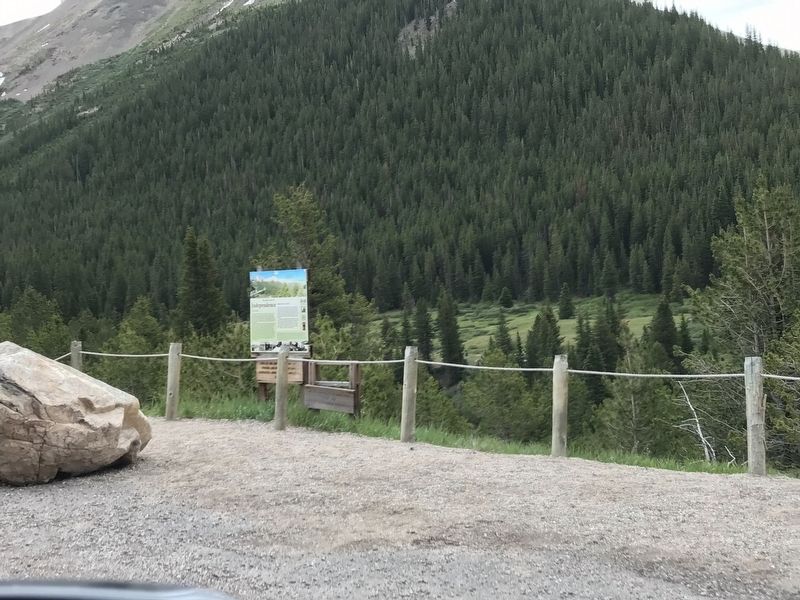
39° 6.411′ N, 106° 36.204′ W. Marker is near Aspen, Colorado, in Pitkin County. Marker is on Colorado 82, 5.6 miles east of County Route 23, on the left when traveling east. Marker is located 16 miles east of Aspen, in the White River National Forest. Touch for map. Marker is in this post office area: Aspen CO 81611, United States of America. Touch for directions.
Other nearby markers. At least 8 other markers are within 2 miles of this marker, measured as the crow flies. A different marker also named Welcome to the Ghost Town of Independence (here, next to this marker); Independence Townsite (a few steps from this marker); Tent City (about 300 feet away, measured in a direct line); Business District (about 600 feet away); Finding Gold (about 700 feet away); Living at Altitude (approx. 0.2 miles away); a different marker also named Business District (approx. 0.2 miles away); Independence Pass Foundation (approx. 1.6 miles away). Touch for a list and map of all markers in Aspen.
Credits. This page was last revised on July 18, 2020. It was originally submitted on July 16, 2020, by Duane and Tracy Marsteller of Murfreesboro, Tennessee. This page has been viewed 125 times since then and 6 times this year. Photos: 1, 2. submitted on July 16, 2020, by Duane and Tracy Marsteller of Murfreesboro, Tennessee. • Andrew Ruppenstein was the editor who published this page.

