Clarendon in Monroe County, Arkansas — The American South (West South Central)
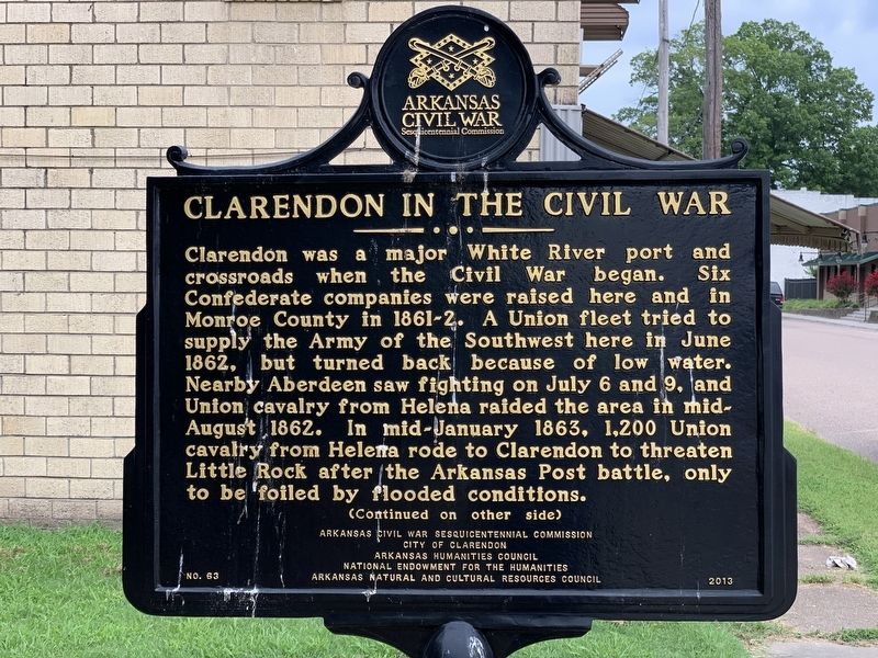
Clarendon in the Civil War
(Continued on other side)
Reverse:
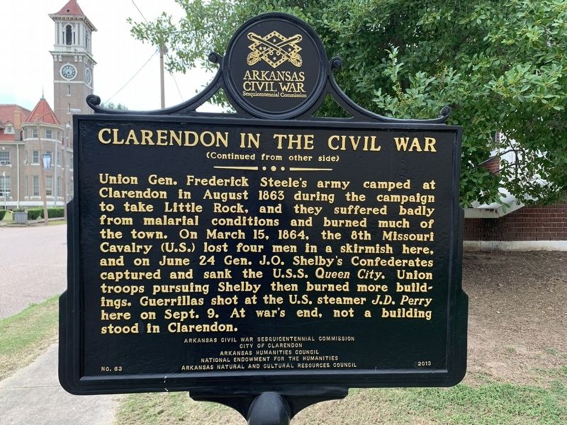
(Continued from other side)
Union Gen. Frederick Steel's army camped at Clarendon in August 1863 during the campaign to take Little Rock, and they suffered badly from malarial conditions and burned much of the town. On March 15, 1864, the 8th Missouri Cavalry (U.S.) lost four men in a skirmish here, and on June 24 Gen. J.O. Shelby's Confederates captured and sank the U.S.S. Queen City. Union troops pursuing Shelby then burned more buildings. Guerrillas shot at the U.S. steamer J.D. Perry here on Sept. 9. At war's end, not a building stood in Clarendon.
Erected 2013 by Arkansas Civil War Sesquicentennial Commission; City of Clarendon; Arkansas Humanities Counsel; National Endowment for the Humanities; Arkansas Natural and Cultural Resources Counsel. (Marker Number 63.)
Topics and series. This historical marker is listed in this topic list: War, US Civil. In addition, it is included in the Arkansas Civil War Sesquicentennial Commission series list. A significant historical month for this entry is June 1862.
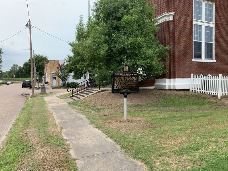
Location. 34° 41.579′ N, 91° 18.803′ W. Marker is in Clarendon, Arkansas, in Monroe County. Marker is at the intersection of Madison Street and North 2nd Street, on the right when traveling west on Madison Street. Located in front of the Clarendon Tourist Welcome Center. Touch for map. Marker is at or near this postal address: 204 Madison Street, Clarendon AR 72029, United States of America. Touch for directions.
Other nearby markers. At least 8 other markers are within 11 miles of this marker, measured as the crow flies. Monroe County First Court House (within shouting distance of this marker); Clarendon (approx. 1.4 miles away); DeValls Bluff in the Civil War (approx. 10.4 miles away); DeValls Bluff Under Fire (approx. 10.4 miles away); Why DeValls Bluff (approx. 10.4 miles away); Common Ground for Many Soldiers (approx. 10.4 miles away); War on the White River (approx. 10.4 miles away); DeValls Bluff: A Key Union Base (approx. 10.4 miles away). Touch for a list and map of all markers in Clarendon.
Credits. This page was last revised on July 23, 2020. It was originally submitted on July 17, 2020, by Craig Swain of Leesburg, Virginia. This page has been viewed 359 times since then and 42 times this year. Photos: 1, 2. submitted on July 17, 2020, by Craig Swain of Leesburg, Virginia. 3, 4. submitted on July 23, 2020, by Craig Swain of Leesburg, Virginia.


