Moorefield in Hardy County, West Virginia — The American South (Appalachia)
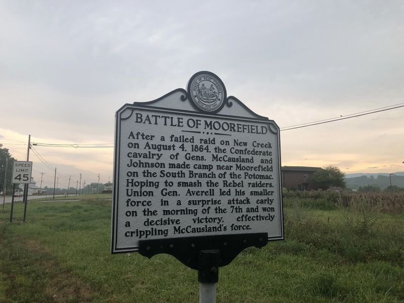
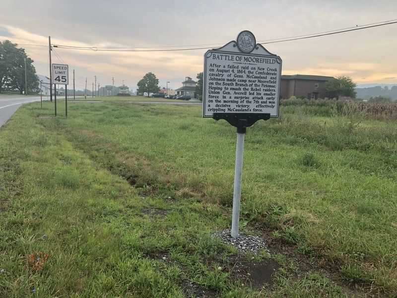
Battle of Moorefield
Erected by West Virginia Archives & History.
Topics and series. This historical marker is listed in these topic lists: War, US Civil • Waterways & Vessels. In addition, it is included in the West Virginia Archives and History series list. A significant historical date for this entry is August 4, 1864.
Location. 39° 4.902′ N, 78° 57.845′ W. Marker is in Moorefield, West Virginia, in Hardy County. Marker is on U.S. 220, 0.4 miles south of Harness Road, on the left when traveling south. Touch for map. Marker is at or near this postal address: 1397 Route 220, Moorefield WV 26836, United States of America. Touch for directions.
Other nearby markers. At least 8 other markers are within 2 miles of this marker, measured as the crow flies. A different marker also named Battle of Moorefield (approx. 0.4 miles away); Gen. Joseph Neville / McNeill's Raid (approx. one mile away); Veterans Memorial (approx. 1.1 miles away); Olivet Cemetery (approx. 1.2 miles away); Confederate Memorial (approx. 1.2 miles away); The Parsonage (approx. 1.2 miles away); Cemetery Hill (approx. 1.3 miles away); a different marker also named Veterans Memorial (approx. 1.3 miles away). Touch for a list and map of all markers in Moorefield.
Credits. This page was last revised on July 18, 2020. It was originally submitted on July 18, 2020, by Devry Becker Jones of Washington, District of Columbia. This page has been viewed 287 times since then and 47 times this year. Photos: 1, 2. submitted on July 18, 2020, by Devry Becker Jones of Washington, District of Columbia.

