Moorefield in Hardy County, West Virginia — The American South (Appalachia)
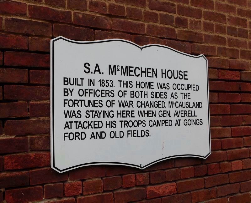
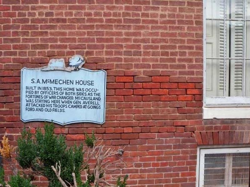
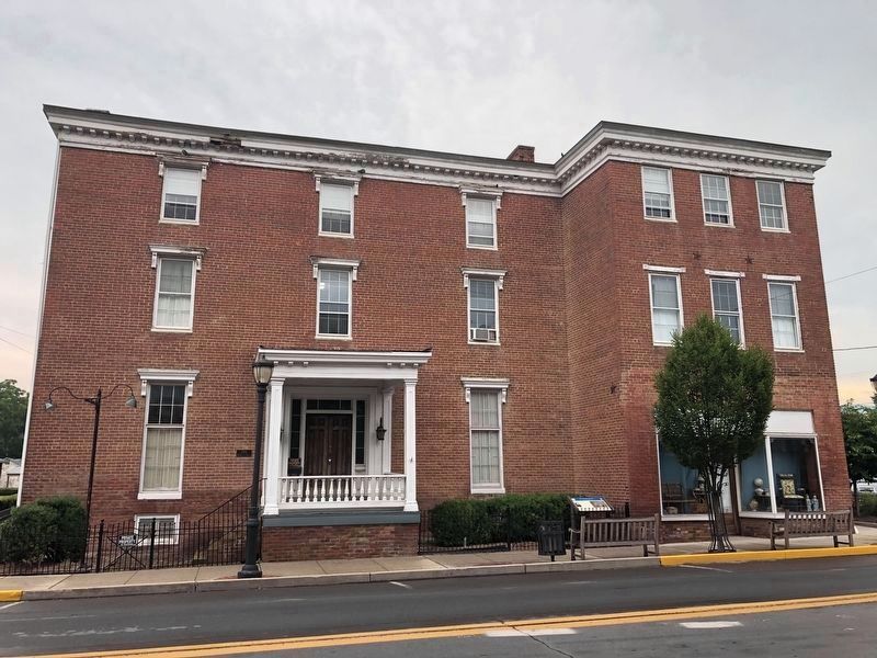
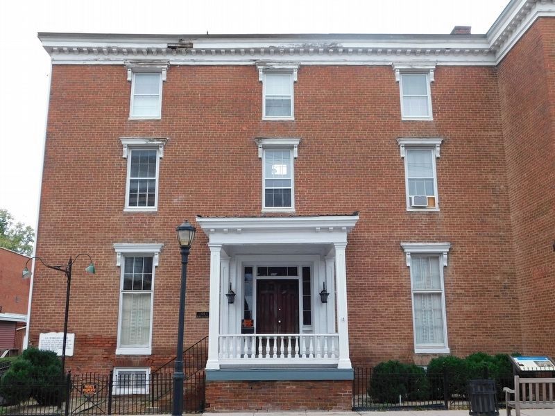
S. A. McMechen House
Topics. This historical marker is listed in this topic list: War, US Civil. A significant historical year for this entry is 1853.
Location. 39° 3.759′ N, 78° 58.182′ W. Marker is in Moorefield, West Virginia, in Hardy County. Marker is on North Main Street (U.S. 220) just north of Winchester Avenue (Old West Virginia Route 55), on the right when traveling north. Touch for map. Marker is at or near this postal address: 106 N Main St, Moorefield WV 26836, United States of America. Touch for directions.
Other nearby markers. At least 8 other markers are within walking distance of this marker. McMechen House (a few steps from this marker); Moorefield (within shouting distance of this marker); Presbyterian Church (about 300 feet away, measured in a direct line); Moorefield Presbyterian Church (about 300 feet away); Hardy County's First Court House (about 500 feet away); The Parsonage (about 600 feet away); Maslin House (approx. 0.2 miles away); Veterans Memorial (approx. 0.2 miles away). Touch for a list and map of all markers in Moorefield.
Credits. This page was last revised on January 28, 2021. It was originally submitted on July 18, 2020, by Linda Walcroft of Woodstock, Virginia. This page has been viewed 217 times since then and 24 times this year. Photos: 1. submitted on January 27, 2021, by Bradley Owen of Morgantown, West Virginia. 2. submitted on October 3, 2011, by Linda Walcroft of Woodstock, Virginia. 3. submitted on July 18, 2020, by Devry Becker Jones of Washington, District of Columbia. 4. submitted on January 28, 2021, by Bradley Owen of Morgantown, West Virginia. • Devry Becker Jones was the editor who published this page.


