Thomas in Tucker County, West Virginia — The American South (Appalachia)
The Story of a River / Life in a Coal Mining Town
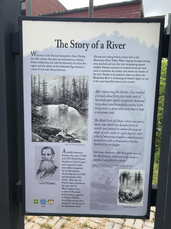
Welcome to the Thomas Interpretive Area. During the 19th century this area was renowned as a remote, forlorn wilderness, but the discovery of coal in the region and the advent of the Industrial Age, became a center of coal and coke production.
Mining and coking levied a heavy toll on the Blackwater River Valley. Water seeping through mining areas leached acid into the river devastating aquatic wildlife. Massive amounts of crushed limestone were used to neutralize the acidity and restore the health of the river. Thanks to an extensive clean-up effort, the Blackwater River is reclaiming its historic legacy as one of the most beautiful rivers in the country.
After traversing the thicket, they reached a stream about forty feet wide, and of inconsiderable depth, completely hemmed in by laurel and beautifully arched with evergreens, so dense and dark that it had a cavernous look.
The Black Fork of Cheat, where our party stood, was about two hundred feet in width, and poured its amber flood at an angle of some seven or eight degrees, over a bed of monstrous boulders, and between mountain walls a thousand or twelve hundred feet in height.
Conway, however, who had gone over to the Blackwater, returned with about a hundred and fifty fine trout.
Harpers New Monthly Magazine, Volume III, December 1853 to May, 1854
The Virginian Canaan, By A Virginian
A prolific illustrator between the years of 1850 and 1879, David Hunter Strother, or Porte Crayon as he signed his work, was widely recognized for his illustrations chronicling the Civil War and the people of the South. After the war Porte Crayon introduced the new state of West Virginia with a series of illustrated articles which appeared in Harpers Weekly, describing among other things the wild beauty of the Blackwater River.
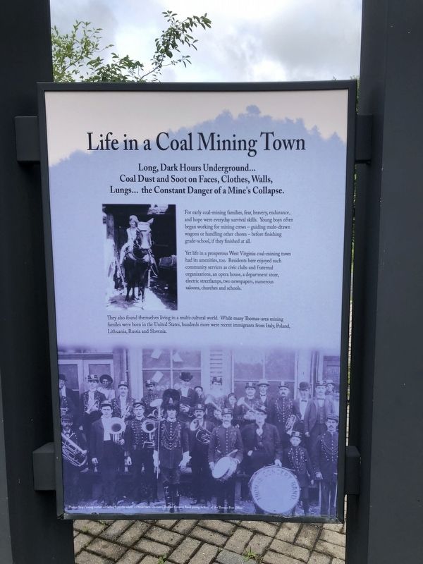
Long, Dark Hours Underground… Coal Dust and Soot on Faces, Cloths, Walls, Lungs… the Constant Danger of a Mine's Collapse.
For early coal-mining families, fear, bravery, endurance, and hope were everyday survival skill. Young boys often began working for mining crews — guiding mule-drawn wagons or handling other chores — before finishing grade-school, if they finished at all.
Yet life in a prosperous West Virginia coal-mining town had its amenities too. Residents here enjoyed such community services as civic clubs and fraternal organizations, an opera house, a department store, electric streetlamps, two newspapers, numerous saloons, churches and schools.
They also found themselves

Photographed By Devry Becker Jones (CC0), July 17, 2020
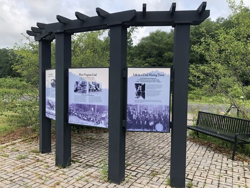
2. Life in a Coal Mining Town side of the marker
Erected by Forest Service, U.S. Department of Agriculture; Federal Highway Administration, U.S. Department of Transportation; Division of Highways, West Virginia Department of Transportation.
Topics. This historical marker is listed in these topic lists: Arts, Letters, Music • Environment • Industry & Commerce • Waterways & Vessels. A significant historical month for this entry is May 1854.
Location. 39° 8.946′ N, 79° 29.944′ W. Marker is in Thomas, West Virginia, in Tucker County. Marker is on Blackwater Canyon Trail, on the right when traveling north. Touch for map. Marker is at or near this postal address: 154 Appalachian Highway, Thomas WV 26292, United States of America. Touch for directions.
Other nearby markers. At least 8 other markers are within walking distance of this marker. Exploring the Coketon Industrial Site / West Virginia Coal (here, next to this marker); Historic Thomas and the Coketon Industrial Complex / News Flash! (here, next to this marker); Thomas, Yesterday and Today (within shouting distance of this marker); "All that Humanity Could Desire…" (within shouting distance of this marker); Thomas, West Virginia Mine Disaster Memorial

Photographed By Devry Becker Jones (CC0), July 17, 2020
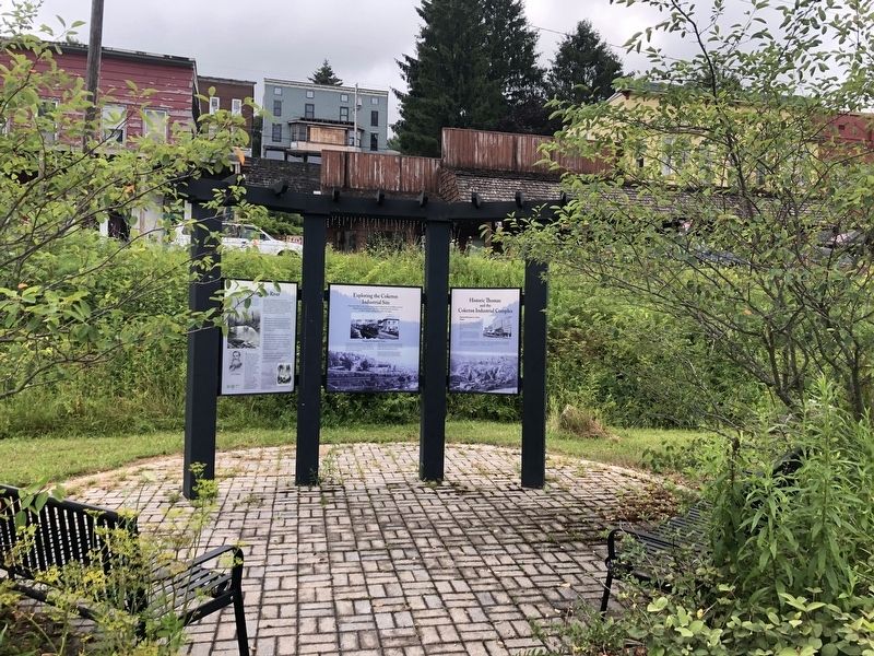
4. The side of the display facing the City of Thomas
Credits. This page was last revised on July 18, 2020. It was originally submitted on July 18, 2020, by Devry Becker Jones of Washington, District of Columbia. This page has been viewed 136 times since then and 21 times this year. Photos: 1, 2, 3, 4. submitted on July 18, 2020, by Devry Becker Jones of Washington, District of Columbia.

