Near Carson in Grant County, North Dakota — The American Midwest (Upper Plains)
Cannonball Stage Station
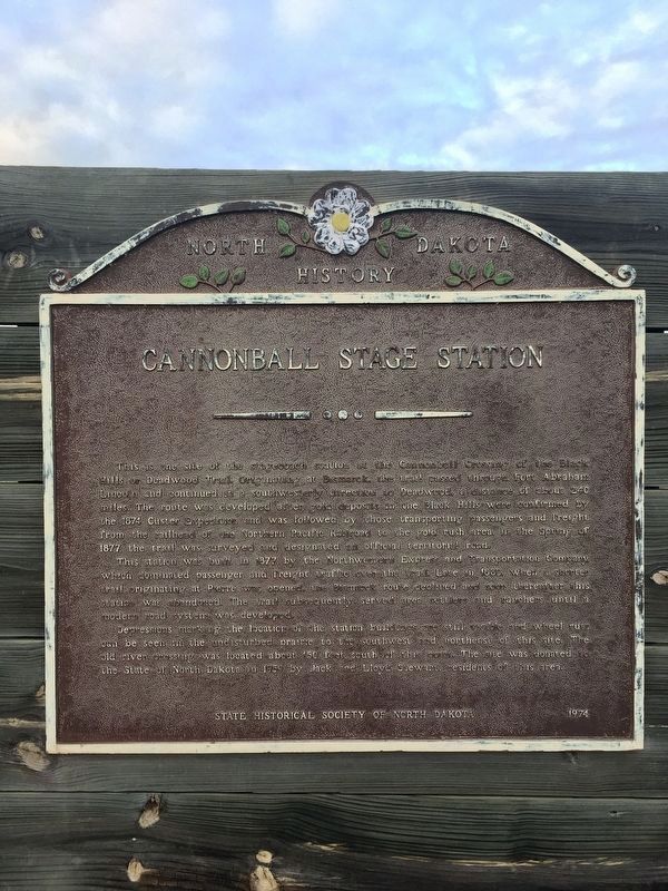
This is the site of the stagecoach station at the Cannonball Crossing of the Black Hills or Deadwood Trail. Originating at Bismarck, the trail passed through Fort Abraham Lincoln and continued in a southwesterly direction to Deadwood, a distance of about 240 miles. The route was developed after gold deposits in the Black Hills were confirmed by the 1874 Custer Expedition and was followed by those transporting passengers and freight from the rail head of the Northern Pacific Railroad to the gold rush area. In the spring of 1877, the trail was surveyed and designated an official territorial road.
This station was built in 1877 by the Northwestern Express and Transportation Company which dominated passenger and freight traffic over the trail. Late in 1880, when a shorter trail originating at Pierre was opened, the Bismarck route declined and soon thereafter this station was abandoned. The trail subsequently served area settlers and ranchers until a modern road system was developed.
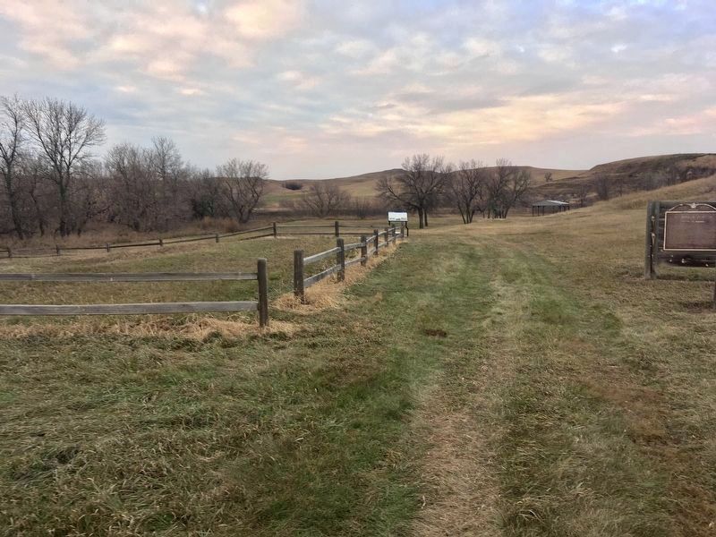
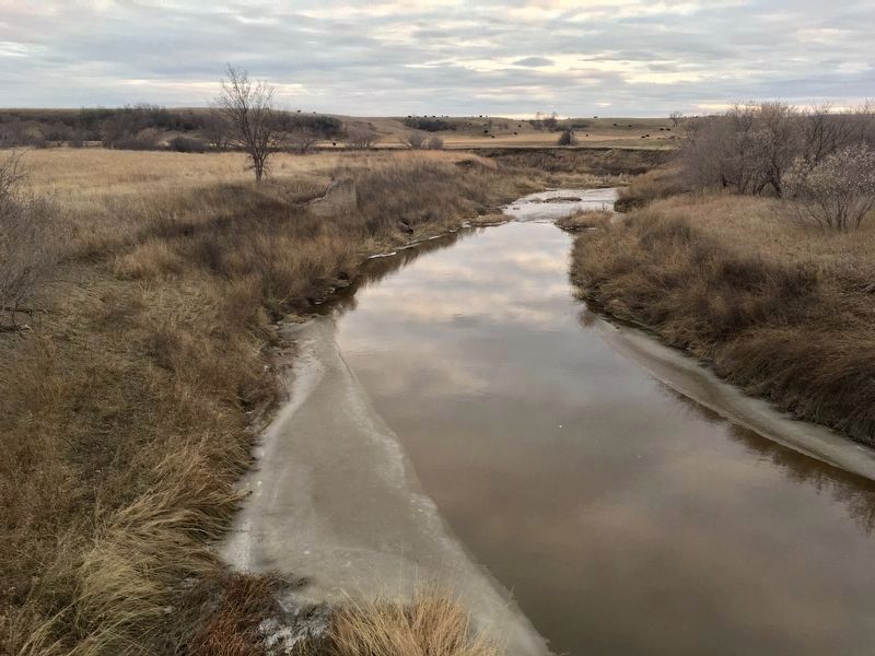
Depressions marking the location of the station buildings are still visible and wheel ruts can be seen in the undisturbed prairie to the Southwest and Northeast of this site. The old river crossing was located about 150 feet South of this point. The site was donated to the State of North Dakota in 1959 by Jack and Lloyd Stewart, residents of this area.
Erected 1974 by State Historic Society of North Dakota.
Topics. This historical marker is listed in this topic list: Roads & Vehicles. A significant historical year for this entry is 1877.
Location. 46° 13.3′ N, 101° 28.645′ W. Marker is near Carson, North Dakota, in Grant County. Marker is on 53rd Avenue Southwest, one mile south of 82nd Street Southwest, on the right when traveling south. Touch for map. Marker is at or near this postal address: 8293 53rd Ave SW, Carson ND 58529, United States of America. Touch for directions.
Other nearby markers. At least 2 other markers are within walking distance of this marker. Bismarck-Deadwood Stage Trail (here, next to this marker); Passenger Coaches (a few steps from this marker).

Photographed By Connor Olson, November 2, 2019
2. Cannonball Stage Station State Historic Site
State Historical Society of North Dakota website entry
Click for more information.
Click for more information.
Credits. This page was last revised on August 3, 2021. It was originally submitted on July 18, 2020, by Connor Olson of Kewaskum, Wisconsin. This page has been viewed 298 times since then and 65 times this year. Photos: 1, 2, 3. submitted on July 18, 2020, by Connor Olson of Kewaskum, Wisconsin. • Mark Hilton was the editor who published this page.

