Mackinac Island in Mackinac County, Michigan — The American Midwest (Great Lakes)
Sugar Loaf
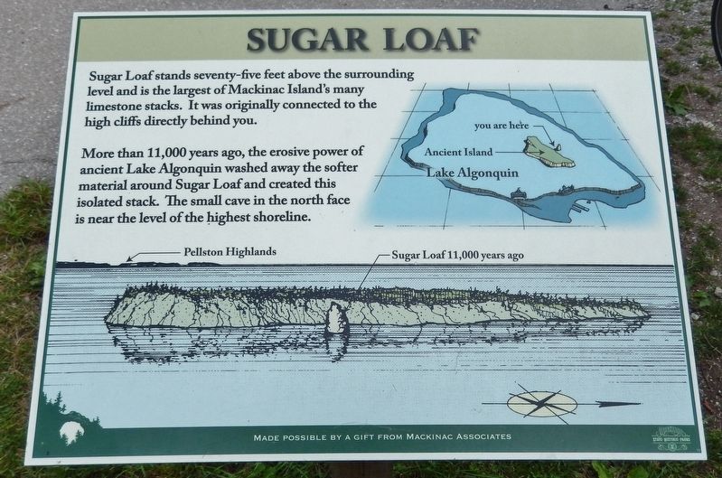
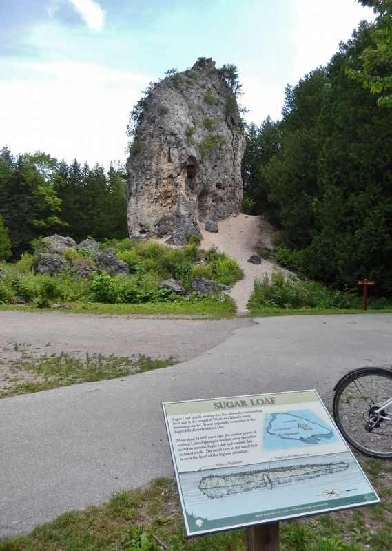
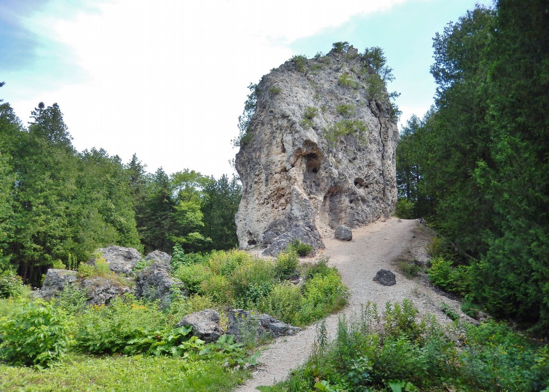
More than 11,000 years ago, the erosive power of ancient Lake Algonquin washed away the softer material around Sugar Loaf and created this isolated stack. The small cave in the north face is near the level of the highest shoreline.
(photo captions)
• Pellston Highlands
• Sugar Loaf 11,000 years ago.
Made possible by a gift from Mackinac Associates
Topics. This historical marker is listed in this topic list: Natural Features.
Location. 45° 51.694′ N, 84° 37.056′ W. Marker is on Mackinac Island, Michigan, in Mackinac County. Marker can be reached from Sugar Loaf Road, ¾ mile west of Lake Shore Drive (State Highway 185). Sugar Loaf is about ¾ mile northwest of the Arch Rock trailhead on Lake Shore Drive, via Arch Rock Road to Rifle Range Road to Sugar Loaf Road. Access is via foot, bicycle or horseback. Touch for map. Marker is in this post office area: Mackinac Island MI 49757, United States of America. Touch for directions.
Other nearby markers. At least 8 other markers are within walking distance of this marker. Fort Holmes (approx. ¼ mile away); a different marker also named Fort Holmes (approx. ¼ mile away); Post Cemetery (approx. ¼ mile away); Home Of The Ancestors (approx. 0.3 miles away); Skull Cave (approx. 0.3 miles away); Scout Barracks / Parade Ground (approx. 0.6 miles away); Greany Grove (approx. 0.6 miles away); Arch Rock (approx. 0.6 miles away). Touch for a list and map of all markers in Mackinac Island.
Also see . . . Sugar Loaf (Wikipedia). Sugar Loaf Rock appears to have been used as a site of ritual burials and inhumations. In 1831, Alexis de Tocqueville and his friend Gustave de Beaumont visited Mackinac Island. De Beaumont reported that the rock was filled with "crevices and faults where the Indians sometimes deposed the bones of the dead." Any such deposits have long since disappeared. (Submitted on July 19, 2020, by Cosmos Mariner of Cape Canaveral, Florida.)
Credits. This page was last revised on July 19, 2020. It was originally submitted on July 19, 2020, by Cosmos Mariner of Cape Canaveral, Florida. This page has been viewed 174 times since then and 15 times this year. Photos: 1, 2, 3. submitted on July 19, 2020, by Cosmos Mariner of Cape Canaveral, Florida.


