Mackinac Island in Mackinac County, Michigan — The American Midwest (Great Lakes)
Skull Cave
Photographed by Cosmos Mariner, July 30, 2017
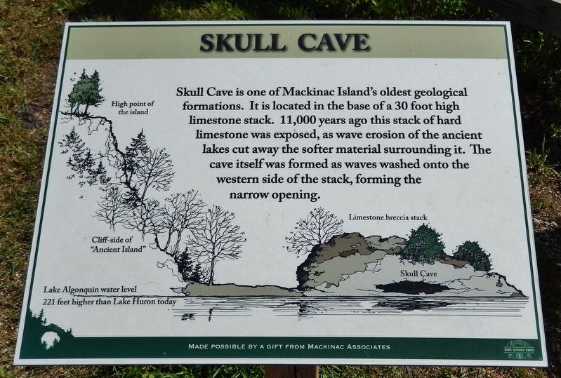
1. Skull Cave Marker
(photo captions)
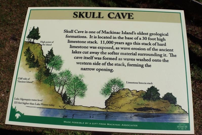
• High point of the island
• Cliff-side of “Ancient Island”
• Limestone breccia stack
• Skull Cave
• Lake Algonquin water level 221 feet higher than Lake Huron today.
Made possible by a gift from Mackinac Associates
Topics. This historical marker is listed in this topic list: Natural Features.
Location. 45° 51.448′ N, 84° 37.129′ W. Marker is on Mackinac Island, Michigan, in Mackinac County. It is at the intersection of Garrison Road and Rifle Range Road, on the right when traveling north on Garrison Road. Touch for map. Marker is in this post office area: Mackinac Island MI 49757, United States of America. Touch for directions.

Regionally, this marker is on the Upper Peninsula
this page online
Other nearby markers. At least 8 other markers are within walking distance of this marker: Home Of The Ancestors (here, next to this marker); Fort Holmes (about 600 feet away, measured in a direct line); Post Cemetery (about 700 feet away); a different marker also named Fort Holmes (approx. 0.2 miles away); Sugar Loaf (approx. 0.3 miles away); Scout Barracks / Parade Ground (approx. 0.3 miles away); Historic Fort Mackinac (approx. 0.3 miles away); Greany Grove (approx. 0.3 miles away). Touch for a list and map of all markers in Mackinac Island.
Another marker is no longer nearby. Skull Cave (was here, next to this marker but has been permanently removed).
Also see . . . Skull Cave (Wikipedia). Skull Cave is primarily of interest for its historical associations. It is believed
Photographed by Cosmos Mariner, July 30, 2017
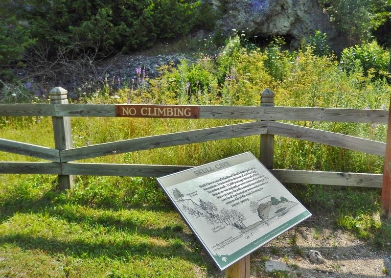
2. Skull Cave Marker
Photographed by Trevor L Whited, August 10, 2022
3. Skull Cave Marker
new color marker
Photographed by Cosmos Mariner, July 30, 2017
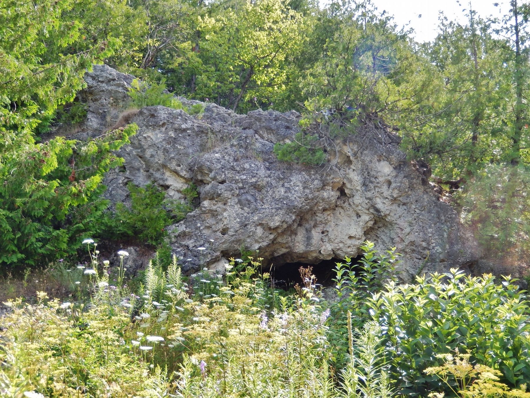
4. Skull Cave
Credits. This page was last revised on August 30, 2022. It was originally submitted on July 19, 2020, by Cosmos Mariner of Cape Canaveral, Florida. This page has been viewed 721 times since then and 56 times this year. Photos: 1, 2. submitted on July 19, 2020, by Cosmos Mariner of Cape Canaveral, Florida. 3. submitted on August 20, 2022, by Trevor L Whited of Kokomo, Indiana. 4. submitted on July 19, 2020, by Cosmos Mariner of Cape Canaveral, Florida.
