Mackinac Island in Mackinac County, Michigan — The American Midwest (Great Lakes)
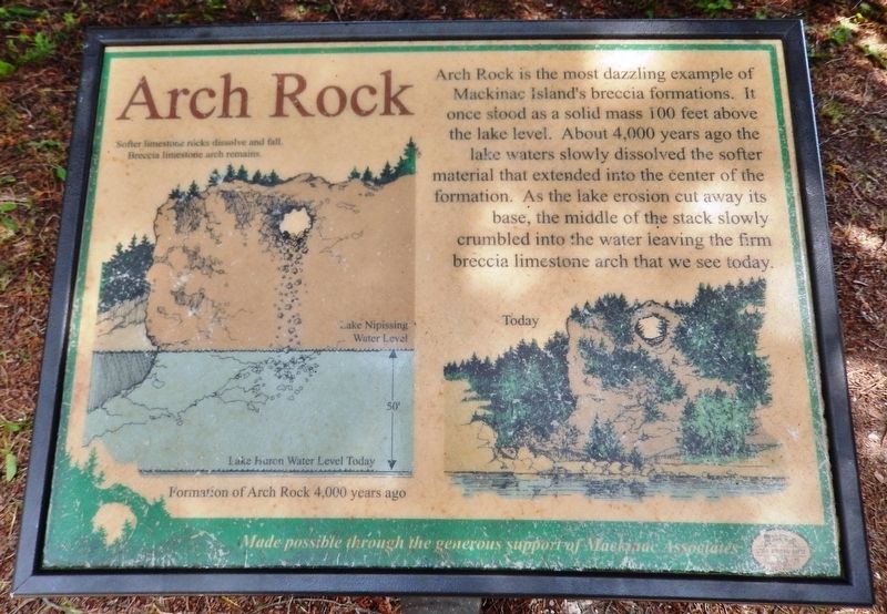
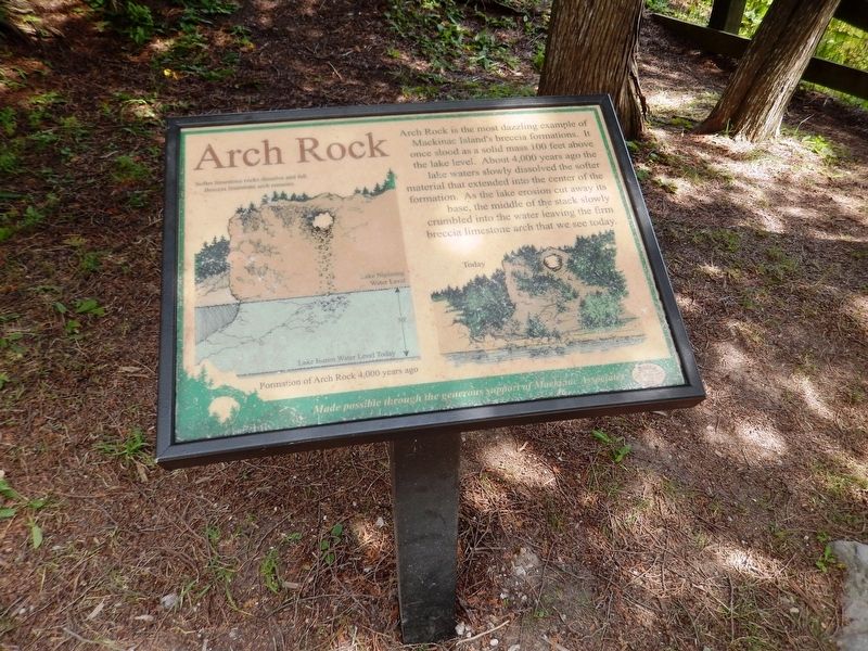
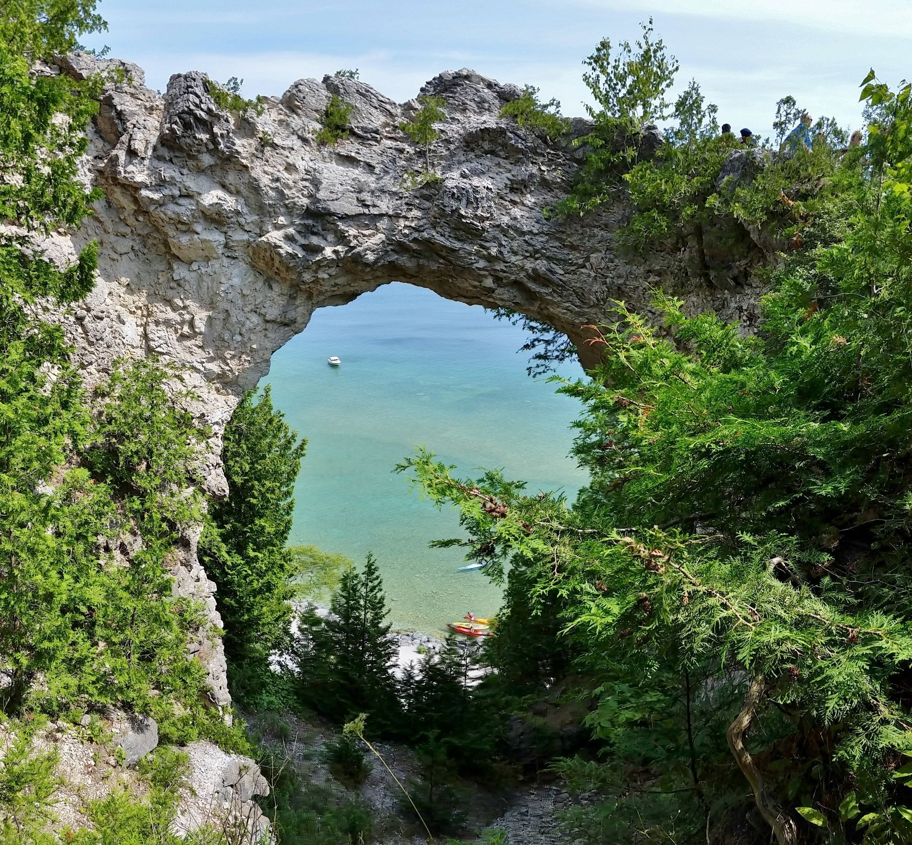
Arch Rock
(photo captions)
• Softer limestone rocks dissolve and fall. Breccia limestone arch remains.
• Lake Nipissing Water Level
• Lake Huron Water Level Today
• Formation of Arch Rock 4,000 years ago.
Made possible through the generous support of Mackinac Associates
Topics. This historical marker is listed in this topic list: Natural Features.
Location. 45° 51.456′ N, 84° 36.409′ W. Marker is on Mackinac Island, Michigan, in Mackinac County. Marker can be reached from the intersection of Arch Rock Road and Rifle Range Road. Marker is located beside the Arch Rock Overlook trail. Touch for map. Marker is at or near this postal address: 6131 Arch Rock Road, Mackinac Island MI 49757, United States of America. Touch for directions.
Other nearby markers. At least 8 other markers are within walking distance of this marker. Nicolet Watch Tower (here, next to this marker); Dwightwood Spring (about 700 feet away, measured in a direct line); Fort Holmes (approx. 0.4 miles away); a different marker also named Fort Holmes (approx. half a mile away); "Cass Cliff" (approx. half a mile away); Greany Grove (approx. half a mile away); Mission Church (approx. 0.6 miles away); Somewhere in Time Gazebo (approx. 0.6 miles away). Touch for a list and map of all markers in Mackinac Island.
Also see . . . Arch Rock (Wikipedia). Limestone breccia is not an ideal material for natural bridges, and this type of formation is quite rare in the North American Great Lakes region. The Native Americans saw Arch Rock as a place of numinous power, and told many stories and legends about it. Euro-Americans did not share many of the taboos of their Native predecessors, and treated Arch Rock as a curiosity to be admired. One early chronicler was Alexis de Tocqueville who wrote of the "Giant's Arch" "of extraordinary shape" during his visit in August, 1831. (Submitted on July 19, 2020, by Cosmos Mariner of Cape Canaveral, Florida.)
Credits. This page was last revised on July 19, 2020. It was originally submitted on July 19, 2020, by Cosmos Mariner of Cape Canaveral, Florida. This page has been viewed 194 times since then and 13 times this year. Photos: 1, 2, 3. submitted on July 19, 2020, by Cosmos Mariner of Cape Canaveral, Florida.


