Southeastern Sacramento in Sacramento County, California — The American West (Pacific Coastal)
James Rutter
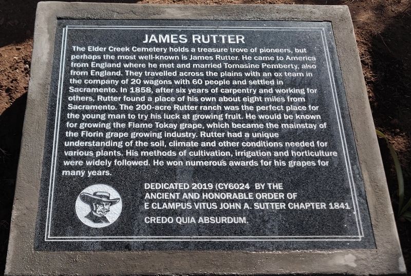
The Elder Creek Cemetery holds a treasure trove of pioneers, but perhaps the most well-known is James Rutter. He came to America from England where he met and married Tomasine Pemberty, also from England. They travelled across the plains with an ox team in the company of 20 wagons with 60 people and settled in Sacramento. In 1858, after six years of carpentry and working for others, Rutter found a place of his own about eight miles from Sacramento. The 200-acre Rutter ranch was the perfect place for the young man to try his luck at growing fruit. He would be known for growing the Flame Tokay grape, which became the mainstay of the Florin grape growing industry. Rutter had a unique understanding of the soil, climate and other conditions needed for various plants. His methods of cultivation, irrigation and horticulture were widely followed. He won numerous awards for his grapes for many years.
Dedicated 2019 (CY6024 by the Ancient and Honorable Order of E Clampus Vitus John A. Sutter Chapter 1841
Credo quia absurdum.
Erected 2019 by John A. Sutter Chapter 1841 E Clampus Vitus.
Topics and series. This historical marker is listed in these topic lists: Agriculture • Cemeteries & Burial Sites . In addition, it is included in the E Clampus Vitus series list. A significant historical year for this entry is 1858.
Location. 38° 30.677′ N, 121° 25.102′ W. Marker is in Sacramento, California, in Sacramento County. It is in Southeastern Sacramento. Marker can be reached from the intersection of Elder Creek Road and Sunrise Drive, on the right when traveling west. Touch for map. Marker is at or near this postal address: 7201 Elder Creek Road, Sacramento CA 95824, United States of America. Touch for directions.
Other nearby markers. At least 8 other markers are within 4 miles of this marker, measured as the crow flies. Florin (approx. 1.6 miles away); Frasinetti’s Winery (approx. 2 miles away); The Guy West Bridge (approx. 3˝ miles away); Five Mile Station (approx. 3˝ miles away); You Are Remembered – Rest In Peace (approx. 3.9 miles away); Re-Internment Site For New Helvetia Cemetery (approx. 3.9 miles away); Joseph H. McKinney (approx. 3.9 miles away); Dr. Benjamin F. Pendery (approx. 3.9 miles away). Touch for a list and map of all markers in Sacramento.
Credits. This page was last revised on February 7, 2023. It was originally submitted on July 19, 2020, by Steven Armstrong of Sacramento, California. This page has been viewed 246 times since then and 29 times this year. Last updated on July 19, 2020, by Steven Armstrong of Sacramento, California. Photo 1. submitted on July 19, 2020, by Steven Armstrong of Sacramento, California. • J. Makali Bruton was the editor who published this page.
Editor’s want-list for this marker. A wide view photo of the marker and the surrounding area together in context. • Can you help?
