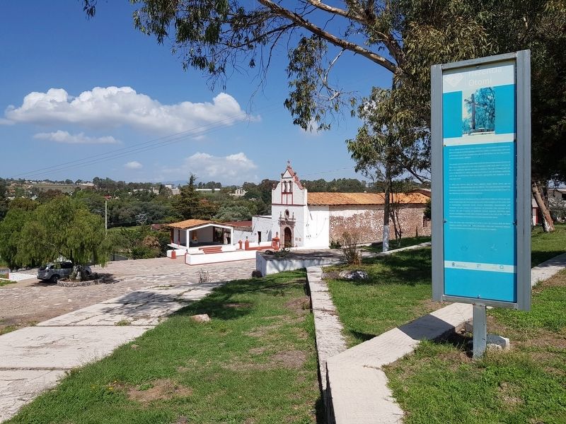
Arroyo Zarco in Aculco, Mexico State, Mexico — The Central Highlands (North America)
The Royal Inland Road
El Camino Real de Tierra Adentro
— Herencia Otomí —
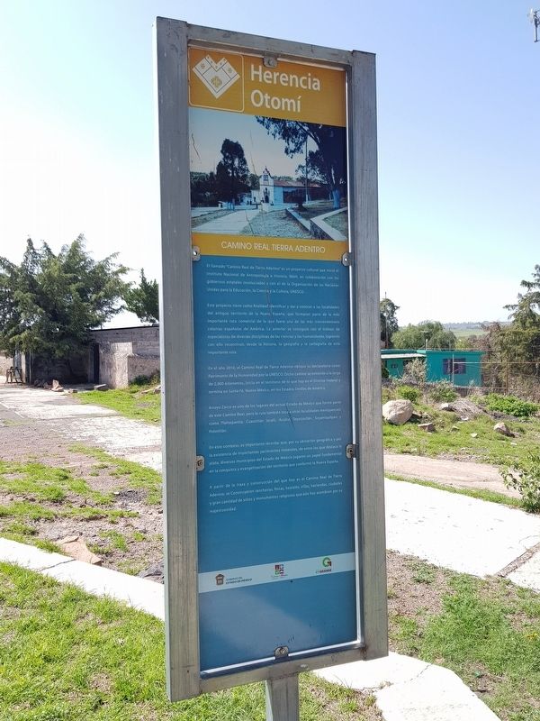
El llamado "Camino Real de Tierra Adentro" es un proyecto cultural que inició el Instituto Nacional de Antropología e Historia, INAH, en colaboración con los gobiernos estatales involucrados y con el de la Organización de las Naciones Unidas para la Educación, la Ciencia y la Cultura, UNESCO.
Este proyecto tiene como finalidad identificar y dar a conocer a las localidades del antiguo territorio de la Nueva España, que formaron parte de la más importante ruta comercial de la que fuera una de las más trascendentales colonias españolas de América. Lo anterior se consiguió con el trabajo de especialistas de diversas disciplinas de las ciencias y las humanidades, logrando con ello reconstruir, desde la historia, la geografía y la cartografía de esta importante ruta.
En el año 2010, el Camino Real de Tierra Adentro obtuvo su declaratoria como Patrimonio de la Humanidad por la UNESCO. Dicho camino se extiende a lo largo de 2,900 kilómetros, inicia en el territorio de lo que hoy es el Distrito Federal y termina en Santa Fé, Nuevo México, en los Estados Unidos de América.
Arroyo Zarco es uno de los lugares del actual Estado de México que formó parte de este Camino Real, pero la ruta también toca a otras localidades mexiquenses, como Tlalnepantla, Cuautitlán Izcalli, Aculco, Tepotzotlán, Soyaniquilpan y Polotitlán.
En este contexto, es importante recordar que, por su ubicación geográfica y por la existencia de importantes yacimientos minerales, de entre los que destaca la plata, diversos municipios del Estado de México jugaron un papel fundamental en la conquista y evangelización del territorio que conformó la Nueva España.
A partir de la traza y construcción del que hoy es el Camino Real de Tierra Adentro, se construyeron rancherlas, fincas, hostales, villas, haciendas, ciudades y gran cantidad de sitios y monumentos religiosos que aún hoy asombran por su majestuosidad.
Camino Real de Tierra Adentro
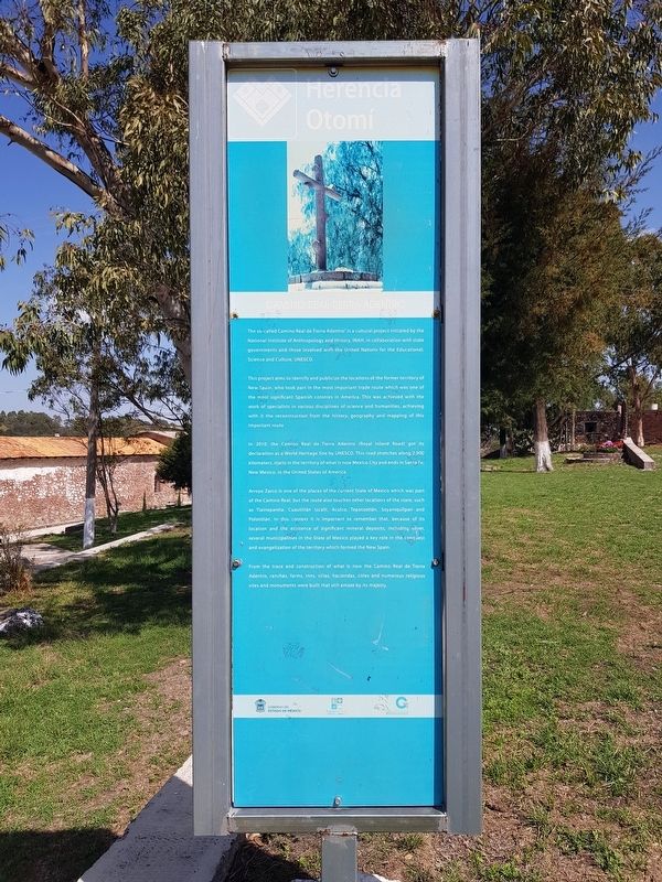
The so-called “Camino Real de Tierra Adentro" is a cultural project initiated by the National Institute of Anthropology and History, INAH, in collaboration with state governments and those involved with the United Nations for the Educational, Science and Culture, UNESCO.
This project aims to identify and publicize the locations of the former territory of New Spain, who took part in the most important trade route which was one of the most significant Spanish colonies in America. This was achieved with the work of specialists in various disciplines of science and humanities, achieving with it the reconstruction from the history, geography and mapping of this important route.
In 2010, the Camino Real de Tierra Adentro (Royal Inland Road) got its declaration as a World Heritage Site by UNESCO. This road stretches along 2,900 kilometers, starts in the territory of what is now Mexico City and ends in Santa Fe, New Mexico, in the United States of America.
Arroyo Zarco is one of the places of the current State of Mexico which was part of the Camino Real, but the route also touches other locations of the state, such as Tlalnepantla, Cuautitlán Izcalli, Aculco, Tepotzotlán, Soyaniquilpan and Polotitlán. In this context it is important to remember that, because of its location and the existence of significant mineral deposits, including silver, several municipalities in the State of Mexico played a key role in the conquest and evangelization of the territory which formed the New Spain.
From the trace and construction of what is now the Camino Real de Tierra Adentro, ranches, farms, inns, villas, haciendas, cities and numerous religious sites and monuments were built that still amaze by its majesty.
Erected by Gobierno de el Estado de México.
Topics and series. This historical marker is listed
in these topic lists: Colonial Era • Industry & Commerce • Roads & Vehicles. In addition, it is included in the El Camino Real de Tierra Adentro series list. A significant historical year for this entry is 2010.
Location. 20° 6.4′ N, 99° 43.533′ W. Marker is in Arroyo Zarco, Estado de Mexico (Mexico State), in Aculco. Marker is on Carretera Aculco-Arroyo Zarco, on the left when traveling east. Touch for map. Marker is in this post office area: Arroyo Zarco MEX 50373, Mexico. Touch for directions.
Other nearby markers. At least 8 other markers are within 16 kilometers of this marker, measured as the crow flies. Parish of Arroyo Zarco (within shouting distance of this marker); Creation of the Municipality of Aculco (approx. 10.6 kilometers away); Hidalgo in Aculco (approx. 10.6 kilometers away); El Camino Real de Tierra Adentro (approx. 10.7 kilometers away); The Naming of Aculco de Espinoza (approx. 10.7 kilometers away); Miguel Hidalgo y Costilla in Aculco (approx. 12.5 kilometers away); The Battle of Aculco and the "Blessed Tree" (approx. 15.3 kilometers away); Polotitlán (approx. 16 kilometers away).
Credits. This page was last revised on October 9, 2020. It was originally submitted on July 19, 2020, by J. Makali Bruton of Accra, Ghana. This page has been viewed 94 times since then and 10 times this year. Photos: 1, 2, 3. submitted on July 19, 2020, by J. Makali Bruton of Accra, Ghana.


