Geologic Story
Mountains Beneath Us
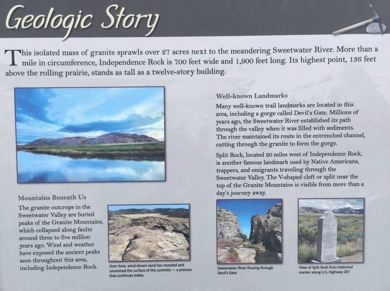
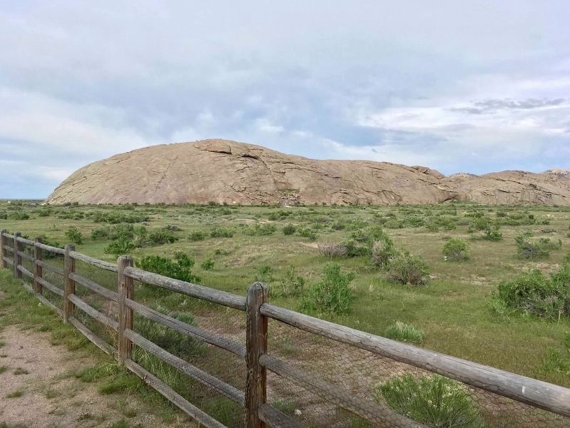
The granite outcrops in the Sweetwater River Valley are buried peaks of the Granite Mountains, which collapsed along faults around three to five million years ago. Wind and weather have exposed the ancient peaks seen throughout the area, including Independence Rock.
Well-known Landmarks
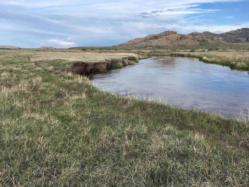
Many well-known trail landmarks are located in this area, including a gorge called Devil's Gate. Millions of years ago, the Sweetwater River established its path through the valley when it was filled with sediments. The river maintained its route in the entrenched channel, cutting through the granite to form the gorge.
Split Rock, located 20 miles west of Independence Rock, is another famous landmark used by Native Americans, trappers, and emigrants traveling through the Sweetwater Valley. The V-shaped cleft or split near the top of the Granite Mountains is visible from more than a day's journey away.
Photo captions:
Bottom left: Over time, wind-blown sand has rounded and smoothed the surface
of the summits-a process that continues today.
Bottom Middle: Sweetwater River flowing through Devil's Gate
Bottom Right: View of Split Rock from historical marker along U.S. Highway 287
Erected by Wyoming State Parks & Cultural Resources.
Topics. This historical marker is listed in these topic lists: Environment • Settlements & Settlers.
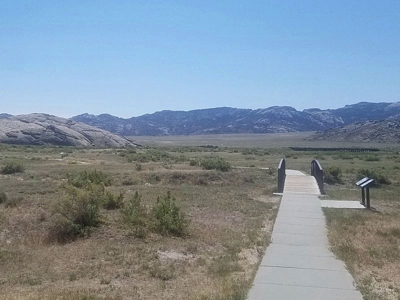
Location. 42° 29.573′ N, 107° 8.178′ W. Marker is near Alcova, Wyoming, in Natrona County. Marker can be reached from Wyoming Route 220, on the right when traveling north. Marker is along the path from the Wyoming State Rest Area to the Independence Rock State Historic Site. Touch for map. Marker is in this post office area: Alcova WY 82620, United States of America. Touch for directions.
Other nearby markers. At least 8 other markers are within 6 miles of this marker, measured as the crow flies. Independence Rock (about 300 feet away, measured in a direct line); Naming a Landmark (about 400 feet away); The Ox-Team Monument Expedition (about 800 feet away); Oregon Trail (approx. 0.2 miles away); a different marker also named Independence Rock (approx. 0.2 miles away); The Preservation of Independence Rock (approx. 0.2 miles away); Frederick Richard Fulkerson (approx. 4.9 miles away); Ella Watson (approx. 5.3 miles away). Touch for a list and map of all markers in Alcova.
Also see . . . Independence Rock Website. (Submitted on August 2, 2020, by Connor Olson of Kewaskum, Wisconsin.)
Credits. This page was last revised on January 16, 2021. It was originally submitted on July 20, 2020, by Connor Olson of Kewaskum, Wisconsin. This page has been viewed 185 times since then and 7 times this year. Photos: 1. submitted on July 20, 2020, by Connor Olson of Kewaskum, Wisconsin. 2. submitted on January 16, 2021, by Craig Baker of Sylmar, California. 3, 4. submitted on July 20, 2020, by Connor Olson of Kewaskum, Wisconsin. • Mark Hilton was the editor who published this page.


