Wilkes-Barre in Luzerne County, Pennsylvania — The American Northeast (Mid-Atlantic)
Fort Wyoming
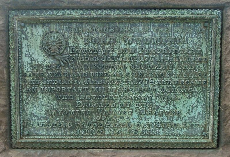
Fort Wyoming.
Built by the Proprietary
forces January 1771. Captured
by the Connecticut settlers the
same year, and used as a defence against
the Indians. Rebuilt in 1778 and became
an important military post during
the Revolutionary War.
Erected June 14, 1899.
Erected 1899 by Wyoming Valley Chapter of the Daughters of the American Revolution.
Topics and series. This historical marker is listed in these topic lists: Colonial Era • Forts and Castles • Settlements & Settlers • War, US Revolutionary. In addition, it is included in the Daughters of the American Revolution series list. A significant historical month for this entry is January 1771.
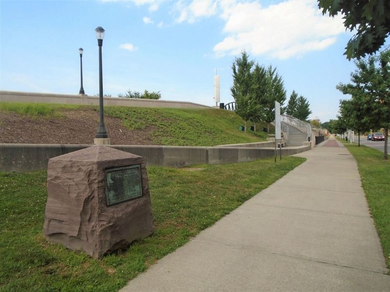
Location. 41° 14.777′ N, 75° 53.263′ W. Marker is in Wilkes-Barre, Pennsylvania, in Luzerne County. Marker is on River Street south of Northampton Street, on the right when traveling south. Touch for map. Marker is in this post office area: Wilkes Barre PA 18702, United States of America. Touch for directions.
Other nearby markers. At least 8 other markers are within walking distance of this marker. Crabapple (within shouting distance of this marker); a different marker also named Fort Wyoming (about 500 feet away, measured in a direct line); Slattery Home Site (about 600 feet away); Franz Kline (1910 - 1962) (about 600 feet away); The Sullivan Expedition against the Iroquois Indians (about 600 feet away); Veterans Memorial Court (about 600 feet away); Stark Hall (about 700 feet away); John L. Lewis Speech (about 700 feet away). Touch for a list and map of all markers in Wilkes-Barre.
Also see . . . Northeast Pennsylvania Forts. (Submitted on July 20, 2020, by William Fischer, Jr. of Scranton, Pennsylvania.)
Credits. This page was last revised on May 23, 2021. It was originally submitted on July 20, 2020, by William Fischer, Jr. of Scranton, Pennsylvania. This page has been viewed 192 times since then and 5 times this year. Photos: 1, 2. submitted on July 20, 2020, by William Fischer, Jr. of Scranton, Pennsylvania.

