Medical Mile in Grand Rapids in Kent County, Michigan — The American Midwest (Great Lakes)
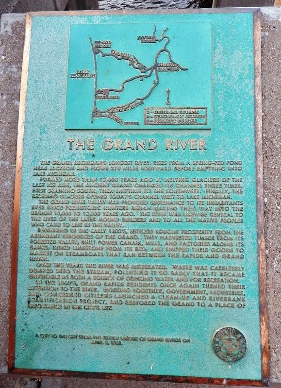
The Grand River
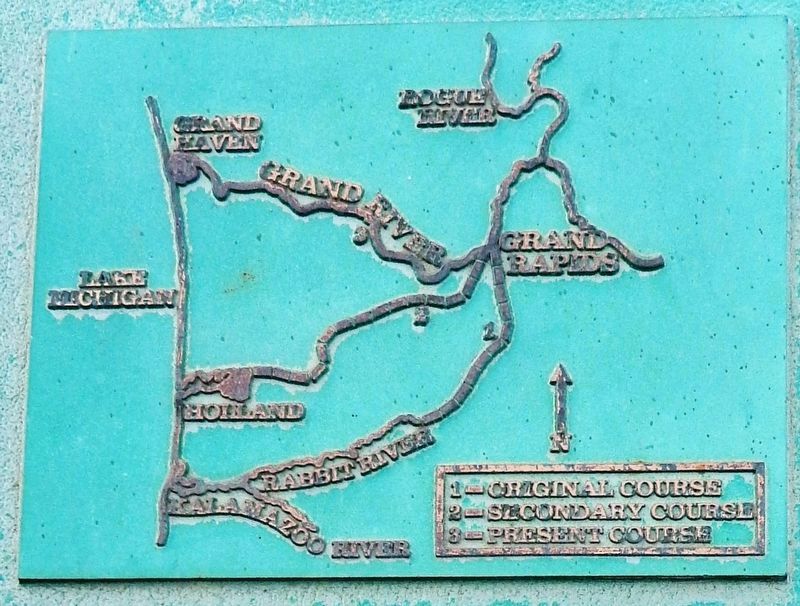
Formed more than 13,000 years ago by melting glaciers of the last Ice Age, the ancient Grand changed its channel three times, first draining south, then shifting to the southwest. Finally, the receding glaciers opened today’s channel west to Lake Michigan.
The Grand River Valley has provided sustenance to its inhabitants ever since prehistoric hunters began making their way into the region 10,000 to 12,000 years ago. The river was likewise central to the lives of the later mound builders and to all the native peoples who came to live in the valley.
Beginning in the early 1800’s, settlers sought prosperity from the abundant resources of the Grand. They harvested timber from its forested valley; built power canals, mills, and factories along its banks; mined limestone from its bed; and shipped their goods to market on steamboats that ran between the rapids and Grand Haven.
Over the years the river was mistreated. Waste was carelessly dumped into the stream, polluting it so badly that it became unsuitable as both a source of drinking water and for recreation.
In the 1960’s, Grand Rapids residents once again turned their attention to the river. Working together, government, industries, and concerned citizens launched a clean-up and riverbank beautification project, and restored the Grand to a place of importance in the city’s life.
Erected 1988 by The Junior League of Grand Rapids.
Topics. This historical marker is listed in these topic lists: Industry & Commerce • Native Americans • Settlements & Settlers • Waterways & Vessels.
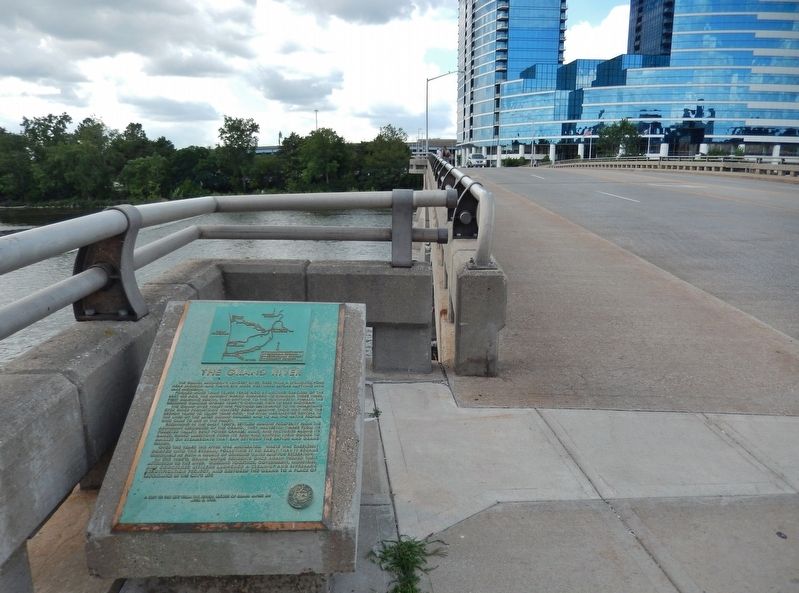
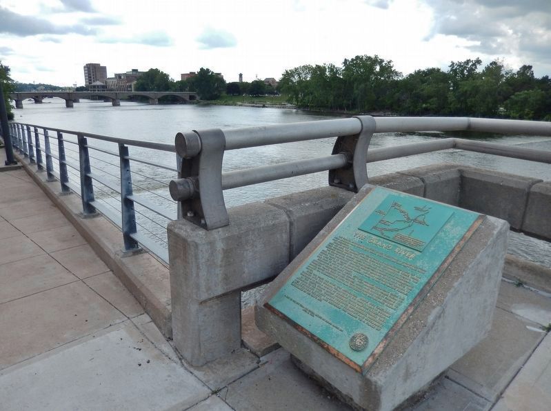
Location. 42° 58.216′ N, 85° 40.442′ W. Marker is in Grand Rapids, Michigan, in Kent County. It is in Medical Mile. Marker is on Michigan Street Northwest (Bridge Street NW), 0.1 miles west of Monroe Avenue Northwest, on the left when traveling west. Marker is located along the Riveredge Trail, at the southeast corner of the bridge. Touch for map. Marker is at or near this postal address: 7 Bridge St NW, Grand Rapids MI 49504, United States of America. Touch for directions.
Other nearby markers. At least 8 other markers are within walking distance of this marker. Great Flood of 1904 (about 500 feet away, measured in a direct line); Mayor Lyman S. Parks (about 700 feet away); Village of Grand Rapids (about 700 feet away); Final Resting Place of Gerald R. Ford (about 800 feet away); First Baptist Mission Station (about 800 feet away); German-English Schoolhouse (approx. 0.2 miles away); La Grande Vitesse (approx. 0.2 miles away); Grand River Bridges (approx. 0.2 miles away). Touch for a list and map of all markers in Grand Rapids.
Also see . . .
1. Grand River (Wikipedia). The so named Grand Rapids, located in what is today the namesake city, were a mile-long, 300 yards wide and 10-15 feet-tall rapids for which the river was famous. These were submerged following the construction of numerous dams, starting in 1835, and flooding of areas behind the dams. The river has not had any rapids for nearly a century. (Submitted on July 21, 2020, by Cosmos Mariner of Cape Canaveral, Florida.)
2. Historic Grand River Photos. Historical accounts show the first permanent white settlers began altering the river soon after they arrived in the 1820s. The river was quickly industrialized. Louis Campau set up shop on the banks of the river in 1826 – and nine years later the first dam was built in 1835. (Submitted on July 21, 2020, by Cosmos Mariner of Cape Canaveral, Florida.)
3. History of Grand Rapids. Grand Rapids became a major lumbering center in the late 19th century, processing logs that were floated down the Grand River from elsewhere in the region. The ready supply
of timber led to the city’s second great industry – fine wood furniture. At the height of the lumber boom, Grand Rapids was home to 44 furniture companies and the city was recognized worldwide as America’s Furniture City. (Submitted on July 21, 2020, by Cosmos Mariner of Cape Canaveral, Florida.)
Credits. This page was last revised on July 21, 2020. It was originally submitted on July 21, 2020, by Cosmos Mariner of Cape Canaveral, Florida. This page has been viewed 1,187 times since then and 224 times this year. Photos: 1, 2, 3, 4. submitted on July 21, 2020, by Cosmos Mariner of Cape Canaveral, Florida.


