Batesville in Independence County, Arkansas — The American South (West South Central)
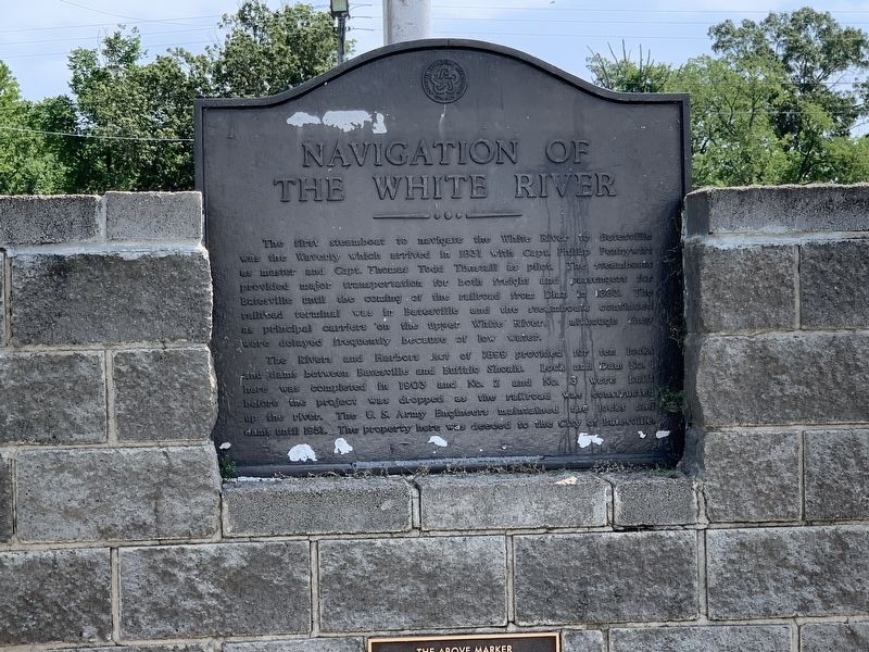
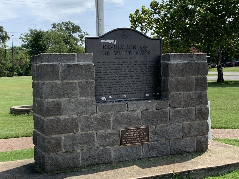
Navigation of the White River
The River and Flatboats Act of 1899 provided for ten locks and dams between Batesville and Buffalo Shoals. Lock and Dam No. 1 here was completed in 1903 and No. 2 and No. 3 were built before the project was dropped as the railroad was constructed up the river. The U.S. Army Engineers maintained the locks and dams until 1951. The property here was deeded to the City of Batesville.
Topics. This historical marker is listed in this topic list: Waterways & Vessels. A significant historical year for this entry is 1831.
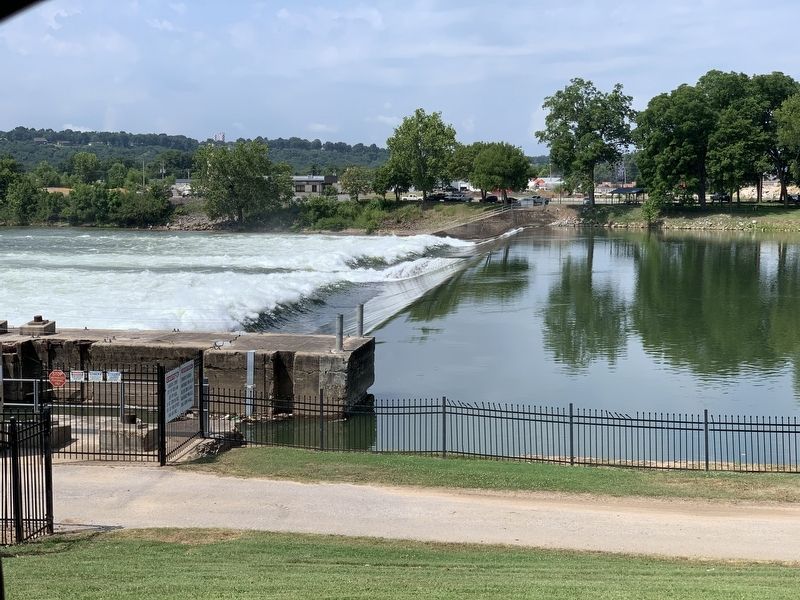
Location. 35° 45.466′ N, 91° 38.184′ W. Marker is in Batesville, Arkansas, in Independence County. Marker is on Chaney Drive, on the right when traveling east. Located in Riverside Park, overlooking White River Dam No.1. Touch for map. Marker is in this post office area: Batesville AR 72501, United States of America. Touch for directions.
Other nearby markers. At least 8 other markers are within 2 miles of this marker , measured as the crow flies. Sara Low Memorial Dog Park (about 600 feet away, measured in a direct line); Engine Donor Ark. Lime Co. (approx. 0.2 miles away); Governor Elisha Baxter (approx. 0.4 miles away); Col. Morgan Magness (approx. half a mile away); Bethel African Methodist Episcopal Church (approx. one mile away); Agricultural Wheel Political Platform 1887 (approx. one mile away); Batesville During The Civil War (approx. 1.1 miles away); Charles R. Handford House (approx. 1.1 miles away). Touch for a list and map of all markers in Batesville.
Also see . . . Upper White River Lock & Dam Report. Report from the Historical American Building Survey, Engineering Board, from the 1960s, providing historical photos of the locks and dams, along with other details. (Submitted on July 26, 2020, by Craig Swain of Leesburg, Virginia.)
Credits. This page was last revised on July 26, 2020. It was originally submitted on July 26, 2020, by Craig Swain of Leesburg, Virginia. This page has been viewed 418 times since then and 29 times this year. Photos: 1, 2, 3. submitted on July 26, 2020, by Craig Swain of Leesburg, Virginia.


