Briscoe in Wheeler County, Texas — The American South (West South Central)
Zybach Cemetery
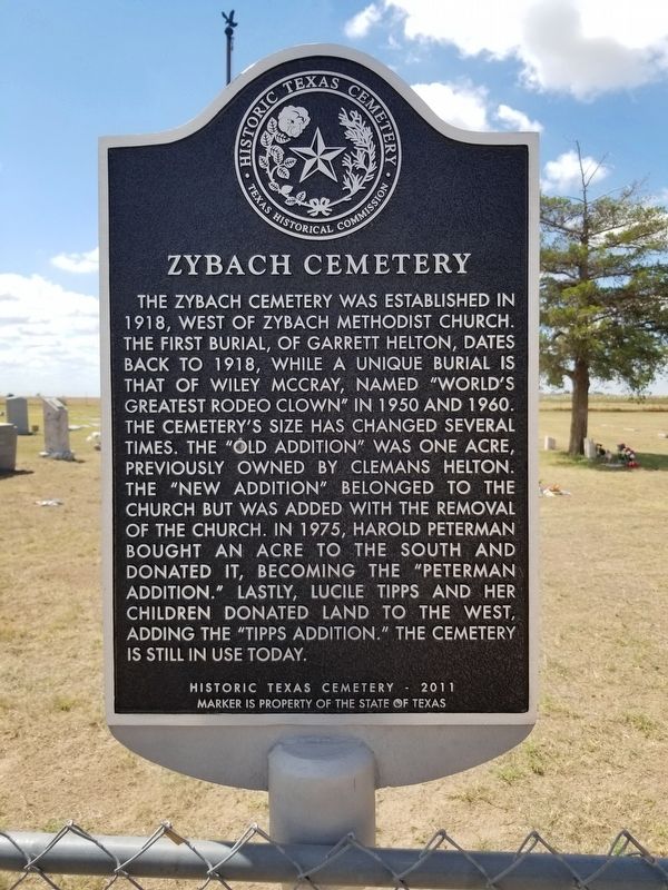
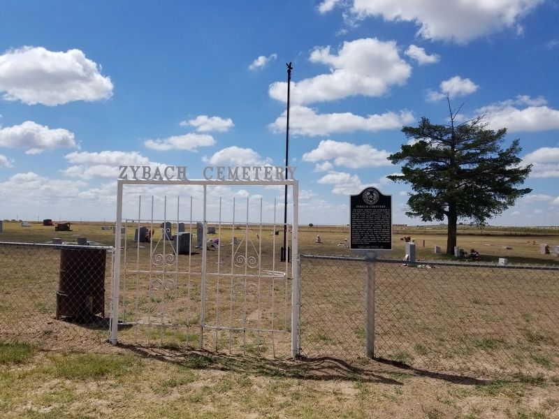
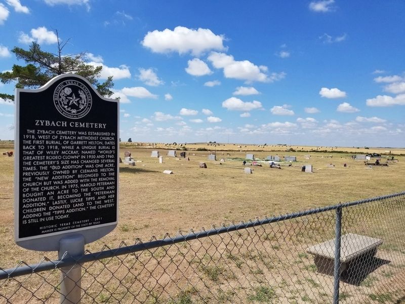
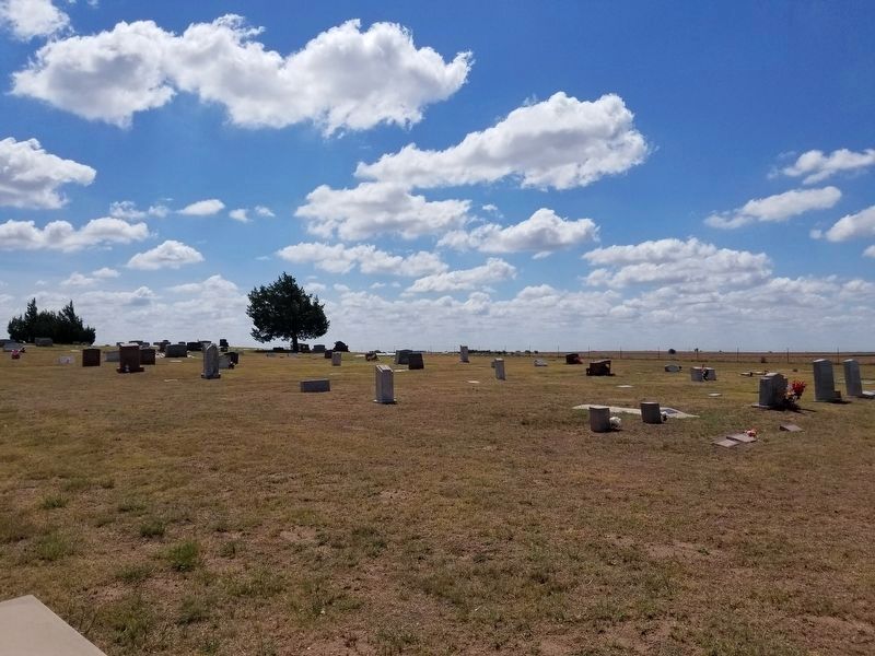
The Zybach cemetery was established in 1918, west of Zybach Methodist Church. The first burial, of Garrett Helton, dates back to 1918, while a unique burial is that of Wiley McCray, named “world’s greatest rodeo clown” in 1950 and 1960. The cemetery’s size has changed several times. The “old addition” was one acre, previously owned by Clemans Helton. The “new addition” belonged to the church but was added with the removal of the church. In 1975, Harold Peterman bought an acre to the south and donated it, becoming the “Peterman addition.” Lastly, Lucile Tipps and her children donated land to the west, adding the “Tipps addition.” The cemetery is still in use today.
Historic Texas Cemetery - 2011
Marker is property of the State of Texas
Erected 2011 by Texas Historical Commission. (Marker Number 17234.)
Topics. This historical marker is listed in this topic list: Cemeteries & Burial Sites.
Location. 35° 37.164′ N, 100° 11.491′ W. Marker is in Briscoe, Texas, in Wheeler County. Marker is on County Line Road EE, on the right when traveling east. The marker is 8.25 miles east of US 83 on County Road EE. Touch for map. Marker is in this post office area: Briscoe TX 79011, United States of America. Touch for directions.
Other nearby markers. At least 8 other markers are within 13 miles of this marker, measured as the crow flies. Buffalo Wallow Battle Ground (approx. 6.1 miles away); Gageby Cemetery (approx. 6.7 miles away); Cataline Cemetery (approx. 6.8 miles away); Fletcher and Donley Stage Station (approx. 6.8 miles away); Custer on the Sweetwater (approx. 10.6 miles away); Washita Cemetery (approx. 10.9 miles away); Rock School (approx. 10.9 miles away); Rock Barn (approx. 12.1 miles away).
Credits. This page was last revised on July 26, 2020. It was originally submitted on July 26, 2020, by Allen Lowrey of Amarillo, Texas. This page has been viewed 685 times since then and 424 times this year. Photos: 1, 2, 3, 4. submitted on July 26, 2020, by Allen Lowrey of Amarillo, Texas. • J. Makali Bruton was the editor who published this page.


