Anastasia in St. Augustine in St. Johns County, Florida — The American South (South Atlantic)
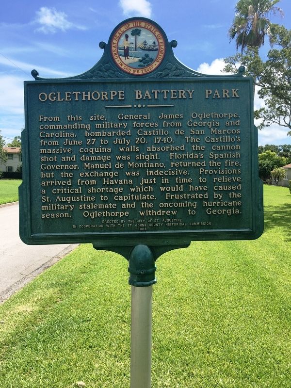
Oglethorpe Battery Park
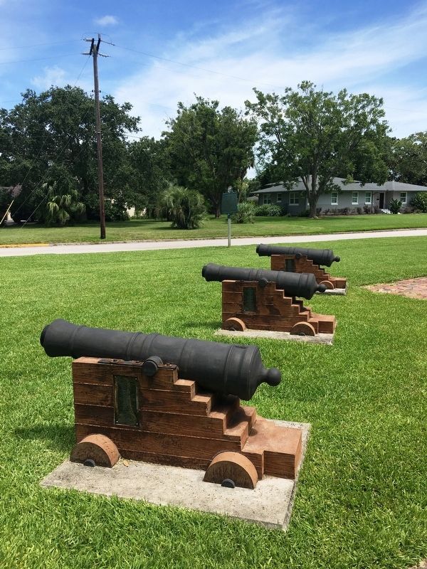
From this site, General James Oglethorpe, commanding military forces from Georgia and Carolina, bombarded Castillo de San Marcos from June 27 to July 20, 1740. The Castillo’s massive coquina walls absorbed the cannon shot and damage was slight. Florida’s Spanish Governor, Manuel de Montiano, returned the fire, but the exchange was indecisive. Provisions arrived from Havana just in time to relieve a critical shortage which would have caused St. Augustine to capitulate. Frustrated by the military stalemate and the oncoming hurricane season, Oglethorpe withdrew to Georgia.
Erected 1968 by City of St. Augustine and the St. Johns County Historical Commission.
Topics. This historical marker is listed in these topic lists: Colonial Era • Forts and Castles. A significant historical date for this entry is June 27, 1740.
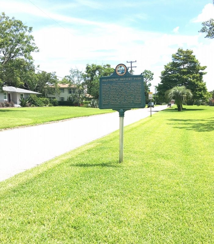
Location. 29° 53.709′ N, 81° 17.975′ W. Marker is in St. Augustine, Florida, in St. Johns County. It is in Anastasia. Marker is at the intersection of Oglethorpe Boulevard and Arredondo Avenue, on the right when traveling east on Oglethorpe Boulevard. Marker located within Oglethorpe Battery Park. Touch for map. Marker is at or near this postal address: 301 Oglethorpe Blvd, Saint Augustine FL 32080, United States of America. Touch for directions.
Other nearby markers. At least 8 other markers are within walking distance of this marker. Site of El Pozo (a few steps from this marker); Medici Lions (approx. 0.3 miles away); Davis Shores (approx. 0.3 miles away); Atlantic Intracoastal Waterway (approx. 0.7 miles away); St. Augustine Sea Wall (approx. 0.7 miles away); Saving the Seawall / Salvando el malecón (approx. 0.7 miles away); Weapons of War / Artillería (approx. 0.7 miles away); Fort Marion (approx. 0.7 miles away). Touch for a list and map of all markers in St. Augustine.
Credits. This page was last revised on July 27, 2020. It was originally submitted on July 26, 2020, by Brandon D Cross of Flagler Beach, Florida. This page has been viewed 631 times since then and 93 times this year. Photos: 1, 2, 3. submitted on July 26, 2020, by Brandon D Cross of Flagler Beach, Florida. • Bernard Fisher was the editor who published this page.


