Somers Point in Atlantic County, New Jersey — The American Northeast (Mid-Atlantic)
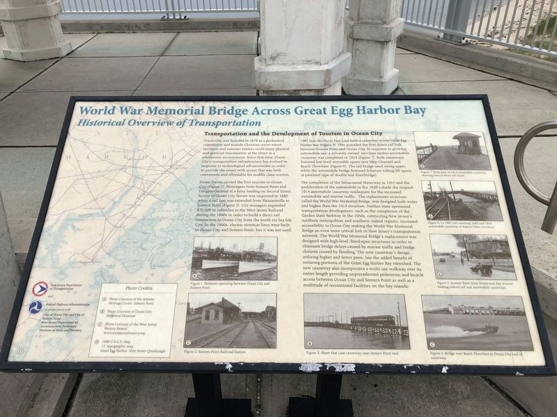
World War Memorial Bridge Across Great Egg Harbor Bay
Historical Overview of Transportation

Photographed By Devry Becker Jones (CC0), July 24, 2020
1. World War Memorial Bridge Across Great Egg Harbor Bay Marker
Transportation and the Development of Tourism in Ocean City
Ocean City was founded in 1879 as a permanent community and seaside Christian resort where residents and summer visitors could enjoy physical and spiritual rejuvenation at the shore in a wholesome environment. Since that time, Ocean City's transportation infrastructure has evolved in response to technological advancements in order to provide the resort with access that was both convenient and affordable for middle class tourists.
Steam ferries carried the first tourists to Ocean City (Figure 1). Passengers from Some Point and Longport arrived at a ferry landing on Second Street. Access to Ocean City ferries was improved in 1880, when a rail line was extended from Pleasantville to Somers Point (Figure 2). City managers expended $70,000 in subsidies to the West Jersey Railroad during the 1880s in order to build a direct rail connection to Ocean City from the south via Sea Isle City. In the 1890s, electric streetcar lines were built in Ocean City and Somers Point, but it was not until 1907 that the Shore Fast Line built a causeway across Great Egg Harbor Bay (Figure 3). This provided the first direct rail link between Somers Point and Ocean City. In response to growing automobile use, a privately owned, two lane timber automobile causeway was completed in 1914 (Figure 7). Both causeways featured low-level moveable spans over Ship Channel Beach Thorofare (Figure 6). The rail bridge used swing spans while the automobile bridge featured Scherzer rolling lift spans (a patented type of double leaf drawbridge).
The completion of the Intercoastal Waterway in 1915 and the proliferation of the automobile in the 1920's made the original 1914 automobile causeway inadequate for the increased automobile an marine traffic. The replacement structure, called the World War Memorial Bridge, was designed both wider and higher than the 1914 structure. Further state sponsored transportation development, such as the completion of the Garden State Parkway in the 1950s, connecting New Jersey's northern metropolitan and southern coastal regions, increased accessibility to Ocean City making the World War Memorial Bridge an even more critical link in New Jersey's transportation network. The World War Memorial Bridge's replacement was designed with high-level, fixed-span structures in order to eliminate bridge delays caused by marine traffic and bridge closures caused by flooding. the new causeway's design, utilizing higher and fewer piers, has the added benefit of restoring portions of the Great Egg Harbor Bay viewshed. The new causeway also incorporates a multi-use walkway over its entire length providing unprecedented pedestrian and bicycle

Photographed By Devry Becker Jones (CC0), July 24, 2020
2. World War Memorial Bridge Across Great Egg Harbor Bay Marker
Erected 2012 by New Jersey Department of Transportation and Federal Highway Administration, U.S. Department of Transportation; in cooperation with City of Ocean City and City of Somers Point; New Jersey Department of Environmental Protection, Division of Parks and Forestry.
Topics. This historical marker is listed in these topic lists: Bridges & Viaducts • Railroads & Streetcars • Settlements & Settlers • Waterways & Vessels. A significant historical year for this entry is 1879.
Location. 39° 18.462′ N, 74° 35.926′ W. Marker is in Somers Point, New Jersey, in Atlantic County. Marker is on Stainton Memorial Causeway (New Jersey Route 52) 0.1 miles south of Mays Landing Road, on the right when traveling south. Touch for map. Marker is in this post office area: Somers Point NJ 08244, United States of America. Touch for directions.
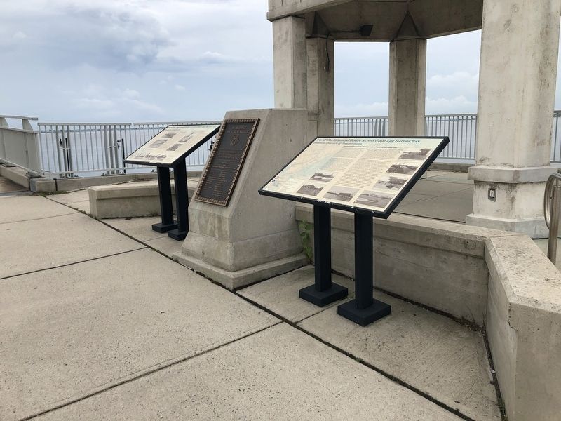
Other nearby markers. At least 8 other markers are within walking distance of this marker. World War Memorial Bridge across Great Egg Harbor Bay (here, next to this marker); World War Memorial Bridge (here, next to this marker); a different marker also named World War Memorial Bridge (a few steps from this marker); Bay Avenue Night Life (about 700 feet away, measured in a direct line); Getting Around Somers Point (about 800 feet away); Somers Mansion (about 800 feet away); Transportation (approx. 0.2 miles away); The Anchorage (approx. 0.3 miles away). Touch for a list and map of all markers in Somers Point.
Credits. This page was last revised on July 26, 2020. It was originally submitted on July 26, 2020, by Devry Becker Jones of Washington, District of Columbia. This page has been viewed 119 times since then and 14 times this year. Photos: 1, 2. submitted on July 26, 2020, by Devry Becker Jones of Washington, District of Columbia.