Bridgeton in Cumberland County, New Jersey — The American Northeast (Mid-Atlantic)
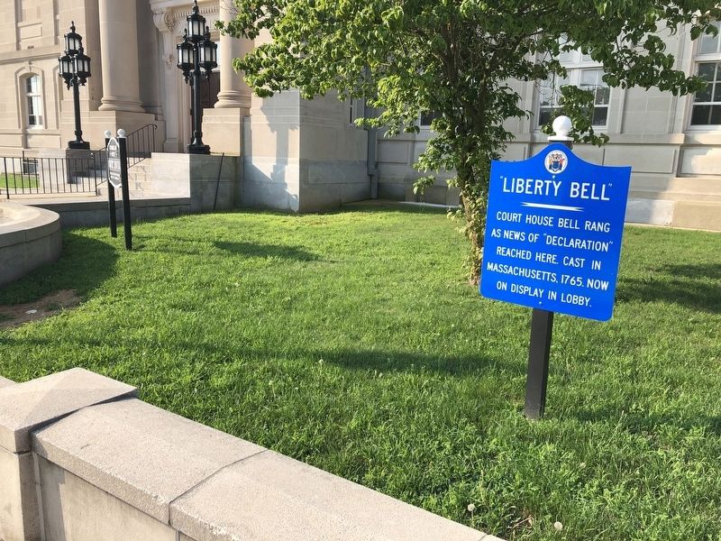
"Liberty Bell"
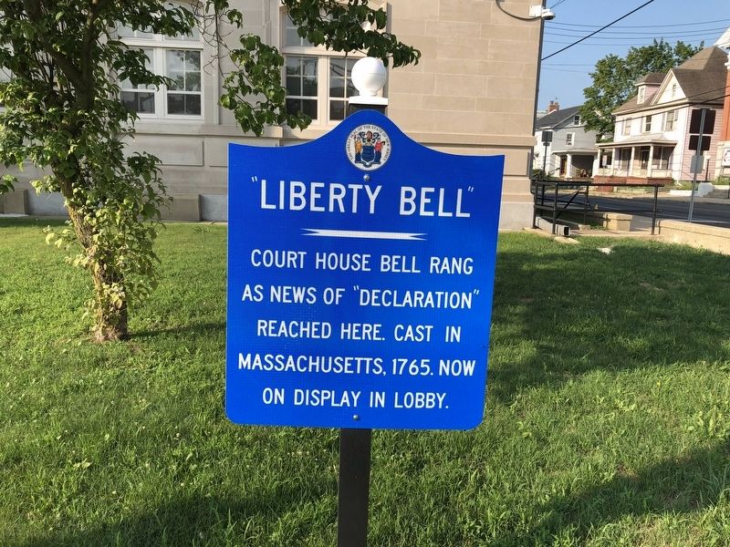
Erected by State of New Jersey.
Topics and series. This historical marker is listed in these topic lists: Colonial Era • War, US Revolutionary. In addition, it is included in the Historic Bells series list. A significant historical year for this entry is 1765.
Location. 39° 25.665′ N, 75° 14.35′ W. Marker is in Bridgeton, New Jersey, in Cumberland County. It is at the intersection of West Broad Street (New Jersey Route 49) and Fayette Street on West Broad Street. Touch for map. Marker is in this post office area: Bridgeton NJ 08302, United States of America. Touch for directions.

Regionally, this marker is in New Jersey’s South Jersey. It is also in the American Northeast, in the Mid-Atlantic, and on the Eastern Seaboard. Globally, it is in the North Atlantic Region, North America, the Western Hemisphere, the Western World, and the Anglosphere. Historically, it finds itself in what was once New Netherland and also one of the original Thirteen Colonies.
Other nearby markers. At least
this page online
Credits. This page was last revised on July 27, 2020. It was originally submitted on July 27, 2020, by Devry Becker Jones of Washington, District of Columbia. This page has been viewed 327 times since then and 18 times this year. Photos: 1, 2. submitted on July 27, 2020, by Devry Becker Jones of Washington, District of Columbia.
