Nature and Agriculture
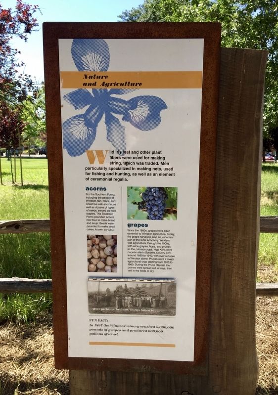
Wild iris leaf and other plant fibers were used for making string, hich was traded. Men particularly specialized in making nets, used for fishing and hunting, as well as an element of ceremonial regalia.
acorns
For the Southern Pomo, including the people of Windsor, tan, black, and coast live oak acorns, as well as dozens of types of seeds, served as food staples. The Southern Pomo pounded acorns into flour to make bread and soup. Seeds were pounded to make seed cakes, known as yuhu.
grapes
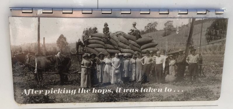
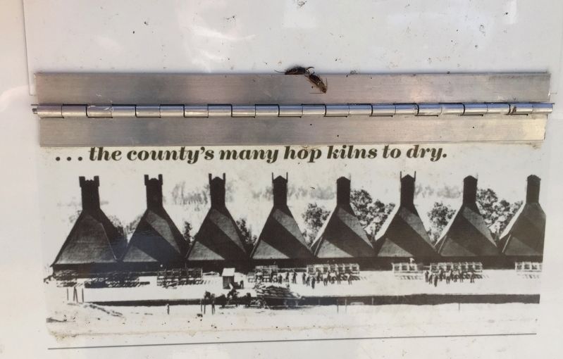
Since the 1880s, grapes have been essential to Windsor agriculture. Today, the grape harvest is also an important part of the local economy. Windsor was agricultural through the 1900s, with wine grapes, hops, and prunes as the primary crops. Hop Kilns were popular site in Sonoma County from around 1880 to 1940, with over a dozen in Windsor alone. Prunes were a major agricultural crop starting from 1910 to 1960. During the Prune Harvest the prunes were spread out in trays, then laid in the fields to dry.
[Flap down:]
After picking the hops, it was taken to...
[Flap up:]
...the county's many hop kilns to dry.
Fun Fact: In 1897 the Windsor winery crushed 8,000,000 pounds of grape and produced 600,000 gallons of wine!
Erected by
Topics. This historical marker is listed in these topic lists: Agriculture • Native Americans.
Location. 38° 32.938′ N, 122° 48.915′ W. Marker is in Windsor, California, in Sonoma County. Marker can be reached from McClelland Drive. Touch for map. Marker is in this post office area: Windsor CA 95492, United States of America. Touch for directions.
Other nearby markers. At least 8 other markers are within 3 miles of this marker, measured as the crow flies. West Windsor: The New Gathering Place (a few steps from this marker); East Windsor: The First Gathering Place (a few steps from this marker); Windsor's Historically Important Families (within shouting distance of this marker); Early Windsor's People: The Southern Pomo (within shouting distance of this marker); Historical Events from the 20th Century (within shouting distance of this marker); Present Day Windsor (within shouting distance of this marker); Shiloh Cemetery (approx. 1.6 miles away); Walters Ranch Hop Kiln (approx. 3 miles away). Touch for a list and map of all markers in Windsor.
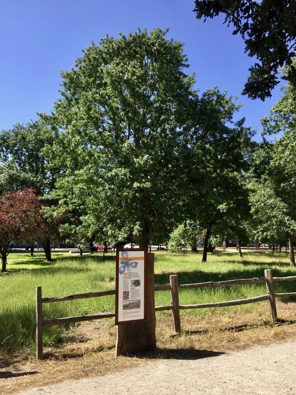
More about this marker. The marker is located in the middle of the Windsor Town Green.
Credits. This page was last revised on July 27, 2020. It was originally submitted on July 27, 2020, by Andrew Ruppenstein of Lamorinda, California. This page has been viewed 105 times since then and 14 times this year. Photos: 1, 2, 3, 4. submitted on July 27, 2020, by Andrew Ruppenstein of Lamorinda, California.


