Pittsgrove Township in Salem County, New Jersey — The American Northeast (Mid-Atlantic)
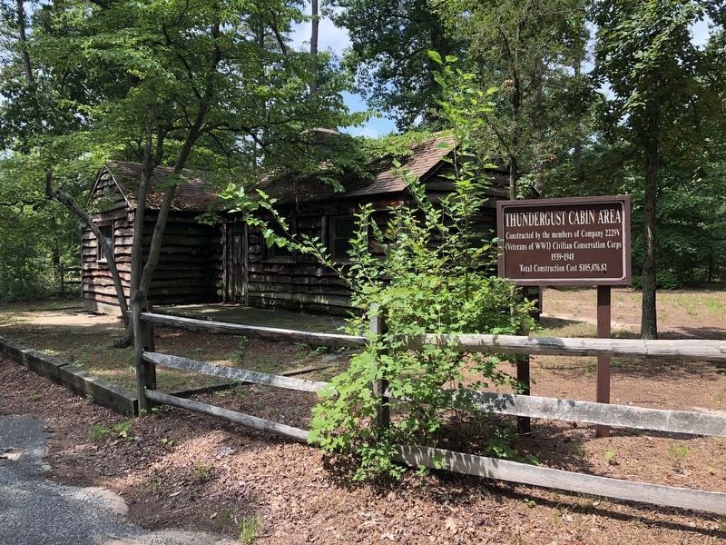
Thundergust Cabin Area
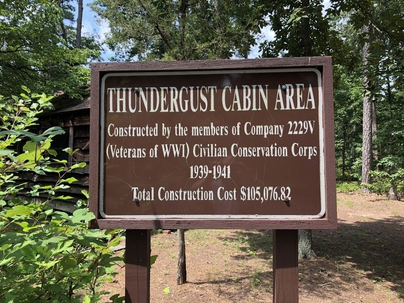
Constructed by the members of Company 2229V (Veterans of WWI) Civilian Conservation Corps
Total Construction Cost $105,076.82
Erected by New Jersey Division of Parks and Forestry.
Topics and series. This historical marker is listed in these topic lists: Parks & Recreational Areas • Religion & Religious Structures. In addition, it is included in the Civilian Conservation Corps (CCC) series list. A significant historical year for this entry is 1939.
Location. 39° 30.288′ N, 75° 7.923′ W. Marker is near Pittsgrove, New Jersey, in Salem County. It is in Pittsgrove Township. It can be reached from Parvin Mill Road 1.1 miles south of Almond Road (County Road 540), on the right when traveling south. Touch for map. Marker is at or near this postal address: 88 Parvin Mill Rd, Elmer NJ 08318, United States of America. Touch for directions.

Regionally, this marker is in Greater Wilmington, in South Jersey, and in Greater Philadelphia. It is also in the American Northeast, in the Mid-Atlantic, and on the Eastern Seaboard. Globally, it is in the North Atlantic Region, North America, the Western Hemisphere,
this page online
Other nearby markers. At least 8 other markers are within 6 miles of this marker, measured as the crow flies: Island Point Picnic Area (approx. 0.2 miles away); Oak Hill Cemetery G.A.R. Monument (approx. 4.9 miles away); Freedom Is Not Free (approx. 5.8 miles away); Civil War Memorial (approx. 5.8 miles away); Vice Admiral Wallace M. Beakley Square (approx. 5.8 miles away); Vietnam War Memorial (approx. 5.9 miles away); Vineland's Own (approx. 5.9 miles away); Corp. Daniel B. Rhubart (approx. 5.9 miles away).
Credits. This page was last revised on February 7, 2023. It was originally submitted on July 29, 2020, by Devry Becker Jones of Washington, District of Columbia. This page has been viewed 317 times since then and 14 times this year. Photos: 1, 2. submitted on July 29, 2020, by Devry Becker Jones of Washington, District of Columbia.
