Near Granite Falls in Yellow Medicine County, Minnesota — The American Midwest (Upper Plains)
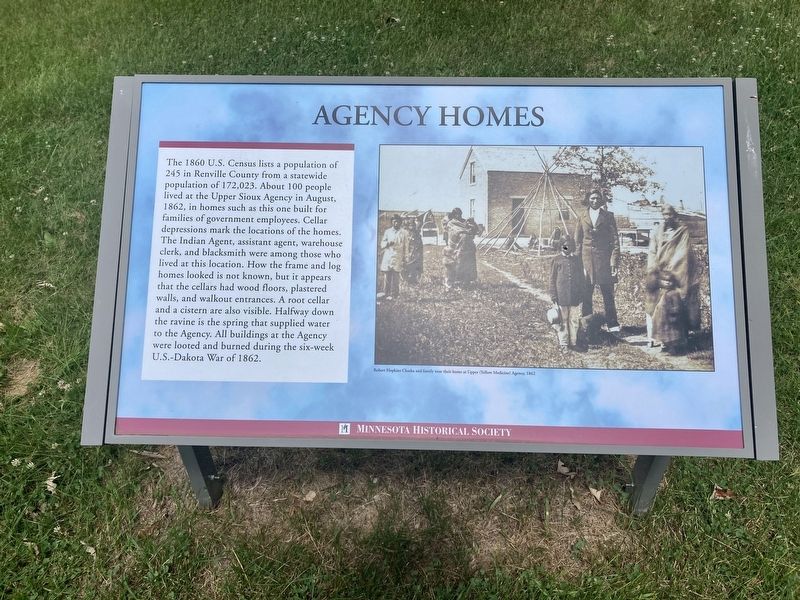
Agency Homes
Photographed by Connor Olson, July 21, 2020
1. Agency Homes Marker
Erected by Minnesota Historical Society.
Topics. This historical marker is listed in these topic lists: Architecture • Settlements & Settlers • Wars, US Indian. A significant historical year for this entry is 1860.
Location. 44° 44.137′ N, 95° 27.298′ W. Marker is near Granite Falls, Minnesota, in Yellow Medicine County. It can be reached from Minnesota River Valley
this page online

Regionally, this marker is in Southwest Minnesota and specifically in the Minnesota River Valley. It is also in the American Midwest, in the Corn Belt, and on the Great Plains. Globally, it is in North America, the Western Hemisphere, the Western World, and the Anglosphere. Historically, it finds itself in what was once Rupert’s Land, the territory of the Mississippian Culture, and the Louisiana Purchase.
Other nearby markers. At least 8 other markers are within walking distance of this marker: Yellow Medicine City (about 500 feet away, measured in a direct line); Employee Duplex No. 2 (about 600 feet away); The Manual Labor School (about 600 feet away); Employee Duplex No. 1 (approx. 0.2 miles away); Upper Sioux Agency (approx. 0.2 miles away); The Annuity Center/Warehouse (approx. 0.2 miles away); Upper (Or Yellow Medicine) Sioux Agency (approx. 0.2 miles
Photographed by Connor Olson, July 21, 2020
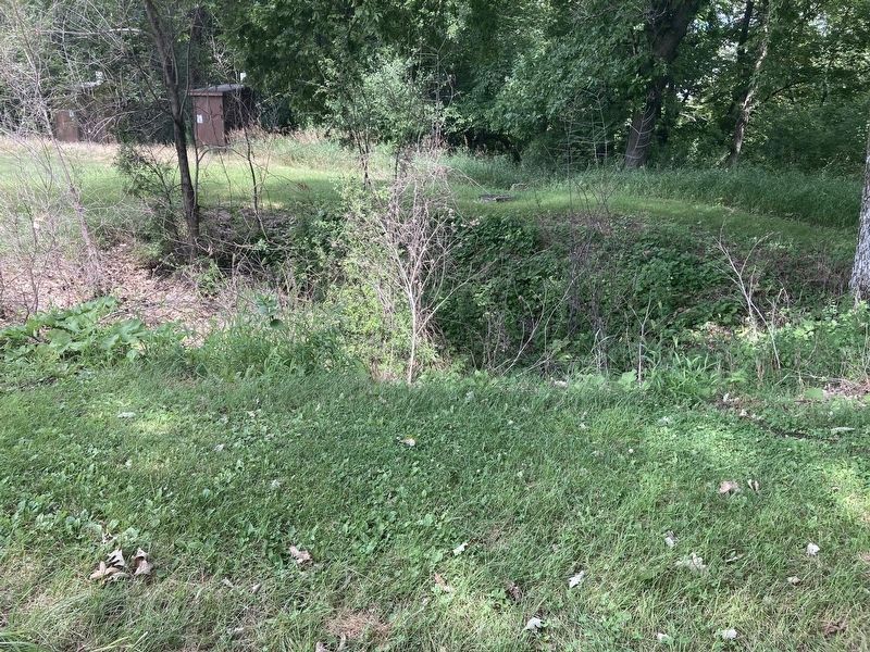
2. Cellar depression
Also see . . . Wikipedia article on the Dakota War of 1862. (Submitted on July 29, 2020, by Mark Hilton of Montgomery, Alabama.)
Credits. This page was last revised on July 29, 2020. It was originally submitted on July 29, 2020, by Connor Olson of Menomonee Falls, Wisconsin. This page has been viewed 409 times since then and 13 times this year. Photos: 1, 2. submitted on July 29, 2020, by Connor Olson of Menomonee Falls, Wisconsin. • Mark Hilton was the editor who published this page.
Editor’s want-list for this marker. A wide shot of the marker and its surroundings. • Can you help?
