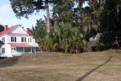
Pocotaligo in Hampton County, South Carolina — The American South (South Atlantic)
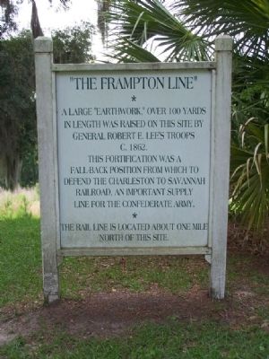
" The Frampton Line "
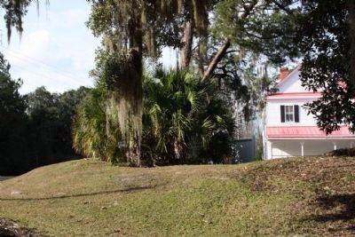
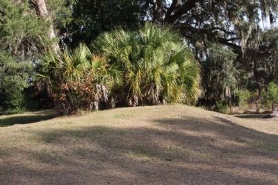
A large "earthwork," over 100 yards
in length was raised on this site by
General Robert E. Lee's troops
c. 1862.
This fortification was a
fall-back position from which to
defend the Charleston to Savannah
Railroad, an important supply
line for the Confederate Army.
*
The rail line is located about one mile
north of this site.
Topics. This historical marker is listed in this topic list: War, US Civil. A significant historical year for this entry is 1862.
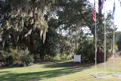
Location. 32° 37.904′ N, 80° 52.323′ W. Marker is in Pocotaligo, South Carolina, in Hampton County. Marker is on Lowcountry Lane near Trask Parkway (U.S. 17). Located at The Frampton House. Touch for map. Marker is in this post office area: Yemassee SC 29945, United States of America. Touch for directions.
Other nearby markers. At least 8 other markers are within 5 miles of this marker, measured as the crow flies. Southern Live Oak Tree (here, next to this marker); The Battle of Pocotaligo (approx. ¼ mile away); General Robert E. Lee (approx. 0.3 miles away); The Frampton Lines / John Edward Frampton House (approx. 0.6 miles away); Battle at the Tulifinny Crossroads (approx. 3.1 miles away); Battle of Coosawhatchie (approx. 4.4 miles away); Sheldon Union Academy (approx. 4.4 miles away); Coosawhatchie (approx. 4½ miles away).
Also see . . . Charleston & Savannah RR. Gen. William T. Sherman sent part of his Union forces forward to cut the line, which would force Confederate general William Hardee to retreat and abandon Savannah. The mission failed, but sections of the railroad would be severely damaged during Sherman's subsequent 1865 Carolinas Campaign (Submitted on January 18, 2009, by Mike Stroud of Bluffton, South Carolina.)
Credits. This page was last revised on June 16, 2016. It was originally submitted on January 18, 2009, by Mike Stroud of Bluffton, South Carolina. This page has been viewed 2,239 times since then and 47 times this year. Photos: 1, 2, 3, 4, 5. submitted on January 18, 2009, by Mike Stroud of Bluffton, South Carolina. • Craig Swain was the editor who published this page.
