Fort Rice
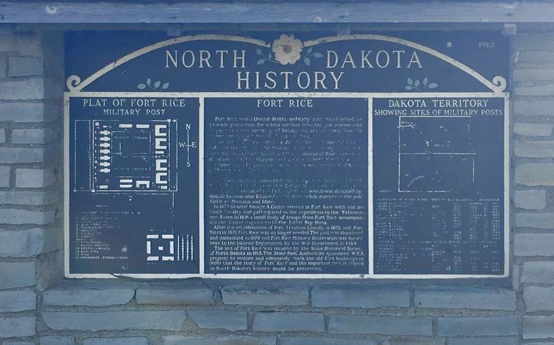
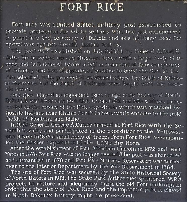
The post was established on July 11, 1864 by General Alfred H Sully. He traveled up the Missouri River with a large party of troops and left Colonel Daniel J. Dill in command of four companies of infantry and two companies of Calvary to build the Fort at the site selected. So he proceeded westward where the battle of Killdeer Mountains and the Battle of Badlands were fought with the hostile Sioux.
Fort Rice played in important part in the early history of North Dakota. It was from this post that Colonel Dill and 600 soldiers proceeded to the rescue of the Fisk expedition which was attacked by hostile Indians near Rhame, North Dakota, while enroute to the gold fields of Montana and Idaho.
in 1873 General George A. Custer arrived at Fort Rice with the Seventh Calvary and participated in the expedition to the Yellowstone River. In 1876 a small body of troops from Fort Rice accompanied to Custer expedition to the Little Big Horn.
After the establishment of Fort Abraham Lincoln in 1872 and Fort Yates in 1878 Fort Rice was no longer needed. The post was abandoned and dismantled in 1878 and Fort Rice Military Reservation was turned over to the Interior Department by the War Department in 1884.
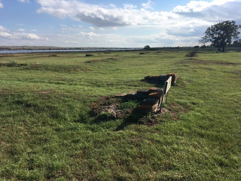
The site of Fort Rice was secured by the State Historical Society of North Dakota in 1913. The State Park Authorities sponsored WPA projects to restore and adequately mark the old fort buildings in order that the story of Fort Rice and the important part it played in North Dakota‘s history might be preserved.
Plat of Fort Rice Military Post
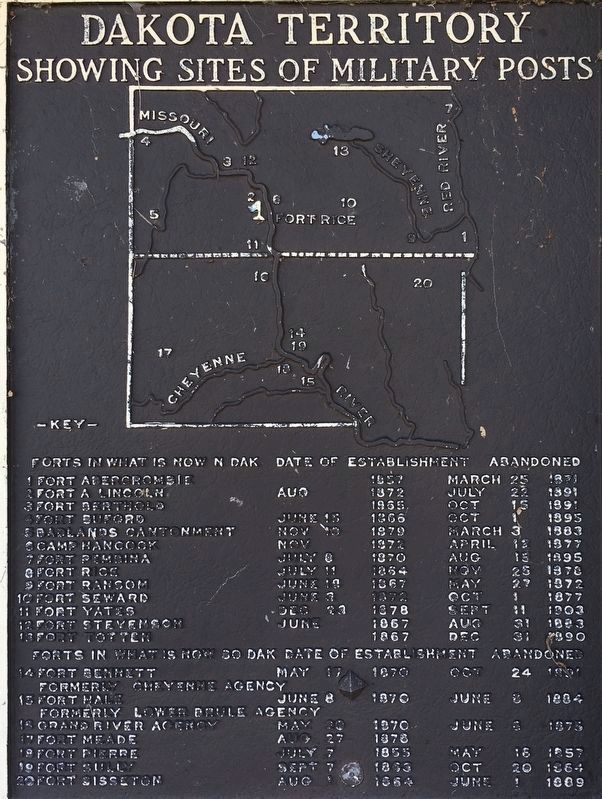
Dakota Territory showing sites of military posts
Erected 1962 by State Historical Society of North Dakota.
Topics. This memorial is listed in these topic lists: Forts and Castles • Native Americans • Settlements & Settlers • Wars, US Indian. A significant historical date for this entry is July 11, 1864.
Location. 46° 30.787′ N, 100° 35.02′ W. Marker is near Fort Rice, North Dakota, in Morton County. Memorial is on North Dakota Route 1806. Located at Fort Rice State Historic Site, on a stone kiosk. Touch for map. Marker is in this post office area: Mandan ND 58554, United States of America. Touch for directions.
Other nearby markers. At least 6 other markers are within 8 miles of this marker, measured as the crow flies. The Founding of Fort Rice (within shouting distance of this marker); Fort Rice After General Sully's Expeditions (within shouting distance of this marker); Archaeological Excavations of Houses
Also see . . . ND State History - Fort Rice State Historic Site. (Submitted on August 3, 2020.)
Credits. This page was last revised on August 7, 2020. It was originally submitted on August 1, 2020, by Connor Olson of Kewaskum, Wisconsin. This page has been viewed 228 times since then and 23 times this year. Photos: 1. submitted on August 1, 2020, by Connor Olson of Kewaskum, Wisconsin. 2, 3, 4. submitted on August 7, 2020, by Connor Olson of Kewaskum, Wisconsin. • Mark Hilton was the editor who published this page.


