Near Canadian in Hemphill County, Texas — The American South (West South Central)
Cataline Cemetery
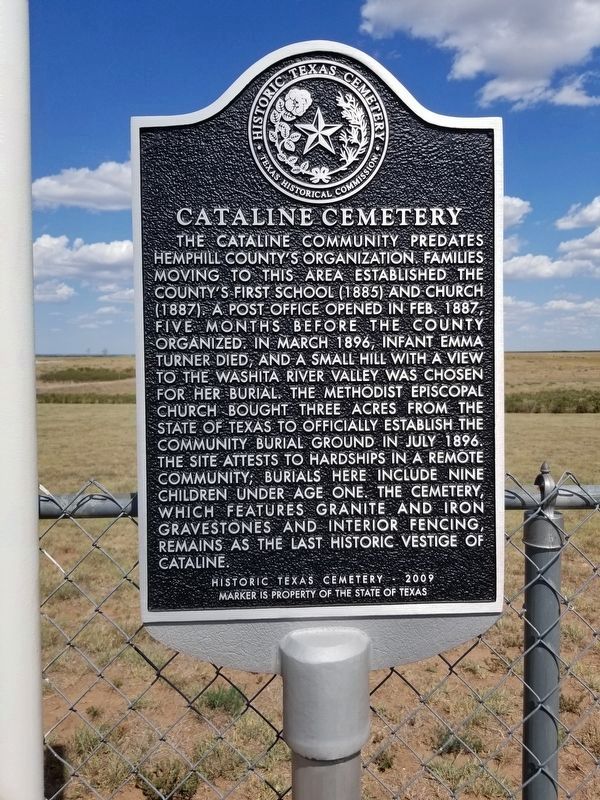
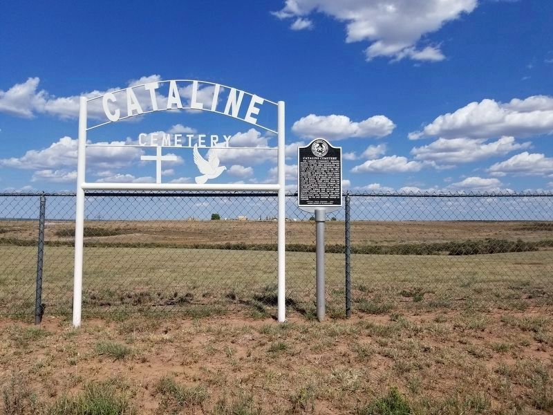
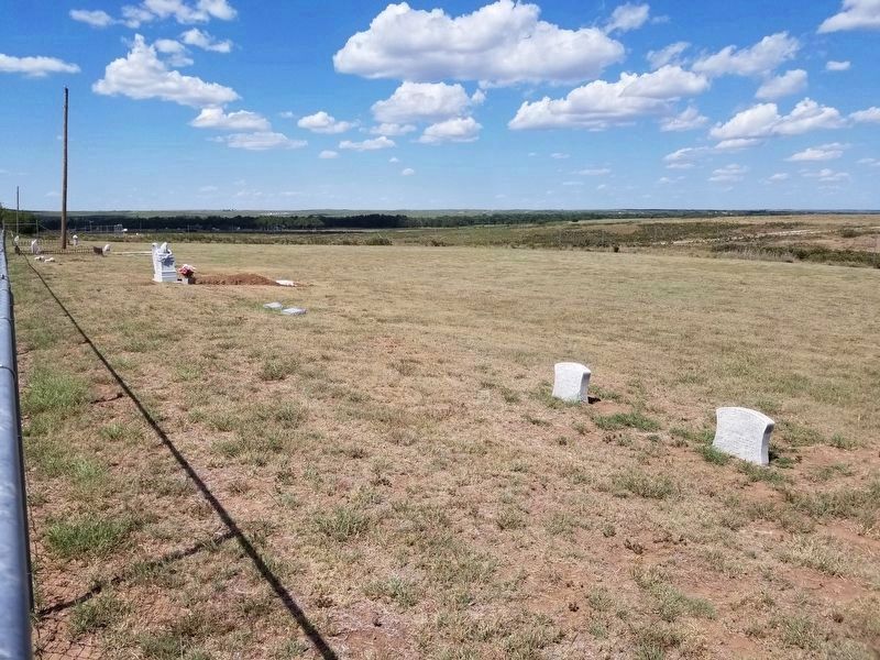
The Cataline community predates Hemphill County’s organization. Families moving to this area established the county’s first school (1885) and church (1887). A post office opened in Feb. 1887, five months before the county organized. In March 1896, infant Emma Turner died, and a small hill with a view to the Washita River Valley was chosen for her burial. The Methodist Episcopal Church bought three acres from the state of Texas to officially establish the community burial ground in July 1896. The site attests to hardships in a remote community; burials here include nine children under age one. The cemetery, which features granite and iron gravestones and interior fencing, remains as the last historic vestige of Cataline.
Historic Texas Cemetery - 2009
Marker is property of the State of Texas
Erected 2009. (Marker Number 16310.)
Topics. This historical marker is listed in this topic list: Cemeteries & Burial Sites.
Location. 35° 42.686′ N, 100° 8.884′ W. Marker is near Canadian, Texas, in Hemphill County. Marker is on County Rd 22, 1.3 miles north of Farm to Market Road 277. Touch for map. Marker is in this post office area: Canadian TX 79014, United States of America. Touch for directions.
Other nearby markers. At least 8 other markers are within 13 miles of this marker, measured as the crow flies. Zybach Cemetery (approx. 6.8 miles away); Fletcher and Donley Stage Station (approx. 7.2 miles away); Buffalo Wallow Battle Ground (approx. 7.4 miles away); Eller Flat Cemetery (approx. 9.4 miles away); Gageby Cemetery (approx. 10.3 miles away); Old Military Road (approx. 12.2 miles away); 133 Yards East to Site of Historic Cottonwood (approx. 12.3 miles away); Site of Old Springer's Road Ranch (approx. 12˝ miles away). Touch for a list and map of all markers in Canadian.
Credits. This page was last revised on August 2, 2020. It was originally submitted on August 2, 2020, by Allen Lowrey of Amarillo, Texas. This page has been viewed 156 times since then and 12 times this year. Photos: 1, 2, 3. submitted on August 2, 2020, by Allen Lowrey of Amarillo, Texas. • J. Makali Bruton was the editor who published this page.


