Spokane in Spokane County, Washington — The American West (Northwest)
Canada Island Resolution
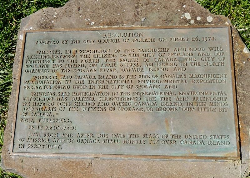
Adopted by the City Council of Spokane on August 26, 1974
Whereas, in recognition of the friendship and good will existing between the citizens of the City of Spokane and our neighbors to the north, the People of Canada, the City of Spokane has named, on April 8, 1974, an island in the north channel of the Spokane River, Canada Island and
Whereas, said Canada island is the site of Canada’s magnificent participation in the International Environmental Exposition presently being held in the City of Spokane and
Whereas, said participation in the International Environmental Exposition has further strengthened the ties and friendship we have so long shared and caused Canada Island, in the minds and hearts of the citizens of Spokane, to become “our” little bit of Canada, —
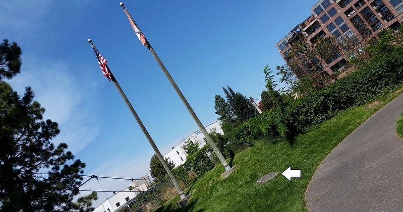
Now, therefore, be it resolved: that from and after this date the flags of the United States of America and of Canada shall jointly fly over Canada Island in perpetuity.
Erected 1974.
Topics. This historical marker is listed in this topic list: Parks & Recreational Areas. A significant historical date for this entry is August 26, 1974.
Location. 47° 39.8′ N, 117° 25.351′ W. Marker is in Spokane, Washington, in Spokane County. Marker can be reached from the intersection of West Broadway Avenue and North Post Street. Marker is located along the Canada Island trail, about 1/10 mile south of West Broadway Avenue. Touch for map. Marker is in this post office area: Spokane WA 99201, United States of America. Touch for directions.
Other nearby markers. At least 8 other markers are within walking distance of this marker. The Great Fire of 1889 (about 300 feet away, measured in a direct line); Spokane County Conservation Futures Program (about 400 feet away); Post Street Bridge (about 700 feet away); Havermale Island — Pioneer Stronghold (approx. 0.2 miles away); Post Street Substation (approx. 0.2 miles away); Spokane's Electric Streetcars (approx. 0.2 miles away); Early Spokane (approx. 0.2 miles away); Great Northern Railway Passenger Depot Clock Tower (approx. 0.2 miles away). Touch for a list and map of all markers in Spokane.
Also see . . .
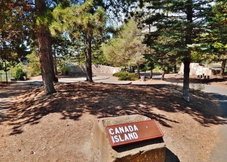
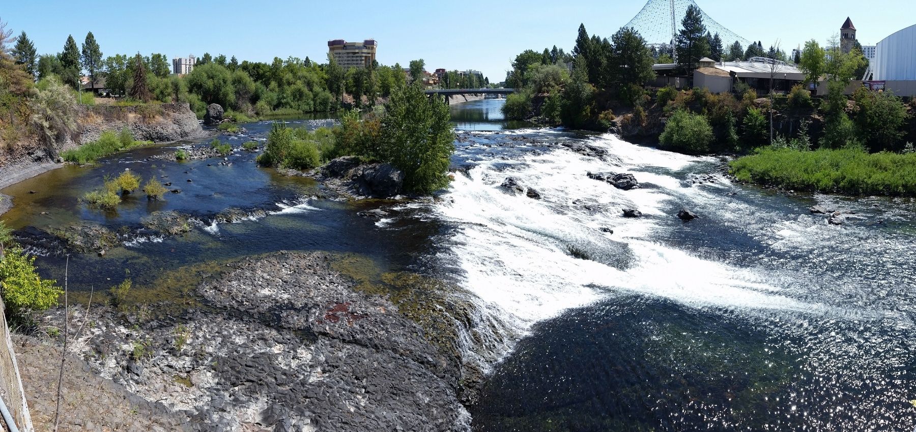
1. Canada Island. Canada Island has had many different names and faces in the last 150 years. Today the island is a part of Riverfront Park and serves as a natural oasis in the middle of downtown. Forty years ago it was known as Cannon Island and was largely covered by railroad tracks. In other eras it was host to a laundry and called Crystal Island. The island we know today is a product of Expo 74, when Spokane leaders hatched a plan to clean up the downtown by bringing a World’s Fair to town. (Submitted on August 5, 2020, by Cosmos Mariner of Cape Canaveral, Florida.)
2. Canada Island renamed in Salish for the Spokane Tribe
. (from The Spokesman-Review, March 9, 2017) The Spokane Park Board unanimously approved the name “snxw meneɂ” (sin-HOO-men-huh) to replace the moniker Canada Island on the two-acre crag splitting the upper Spokane Falls. The name, meaning “salmon people” in English, was one of two forwarded by the Spokane Tribal Business Council earlier this year and received the most votes in a public poll hosted by the Spokane Parks Department. (Submitted on August 5, 2020, by Cosmos Mariner of Cape Canaveral, Florida.)
Credits. This page was last revised on January 3, 2024. It was originally submitted on August 5, 2020, by Cosmos Mariner of Cape Canaveral, Florida. This page has been viewed 265 times since then and 49 times this year. Photos: 1, 2, 3, 4, 5, 6. submitted on August 5, 2020, by Cosmos Mariner of Cape Canaveral, Florida.
